MyTopo
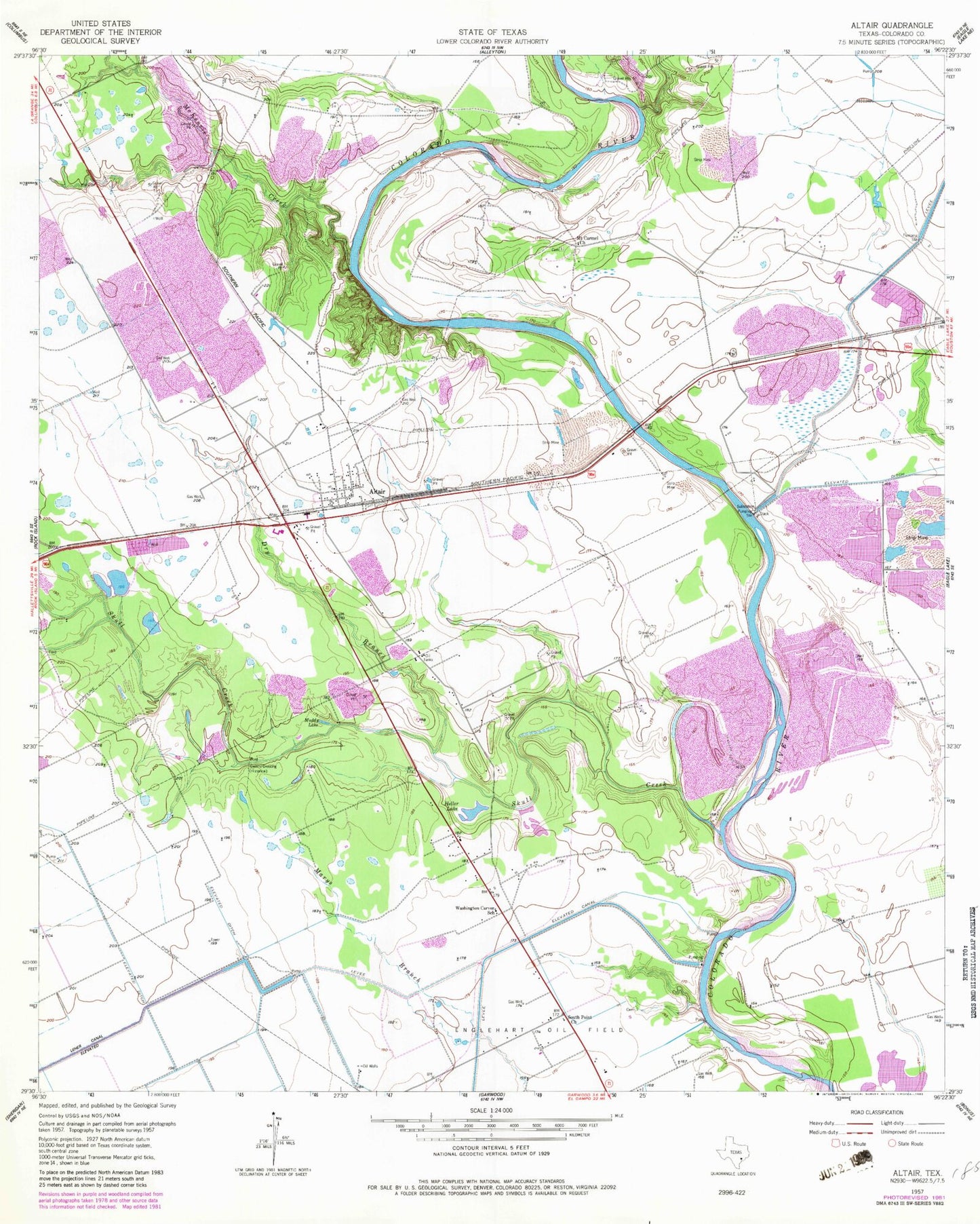
Classic USGS Altair Texas 7.5'x7.5' Topo Map
Regular price
$16.95
Regular price
Sale price
$16.95
Unit price
per
Couldn't load pickup availability
Historical USGS topographic quad map of Altair in the state of Texas. Typical map scale is 1:24,000, but may vary for certain years, if available. Print size: 24" x 27"
This quadrangle is in the following counties: Colorado.
The map contains contour lines, roads, rivers, towns, and lakes. Printed on high-quality waterproof paper with UV fade-resistant inks, and shipped rolled.
Contains the following named places: Altair, Crasco Creek, Dry Branch, Heller Lake, Mount Carmel Church, Muddy Lake, Skull Creek, South Point Church, Washington Carver School, McKenzie Creek, Old Spanish Trail, Gwinns Crossing (historical), Altair Post Office