MyTopo
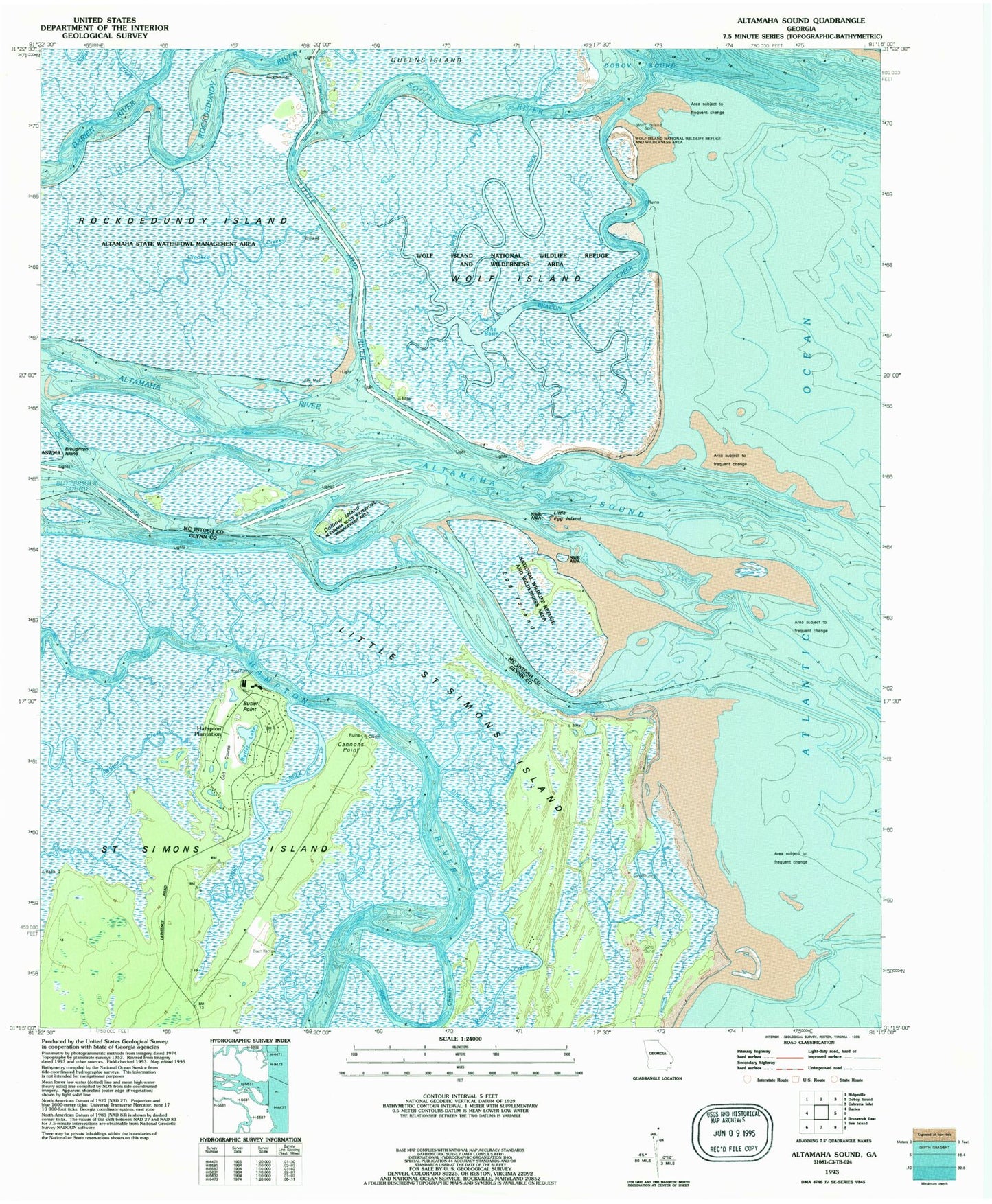
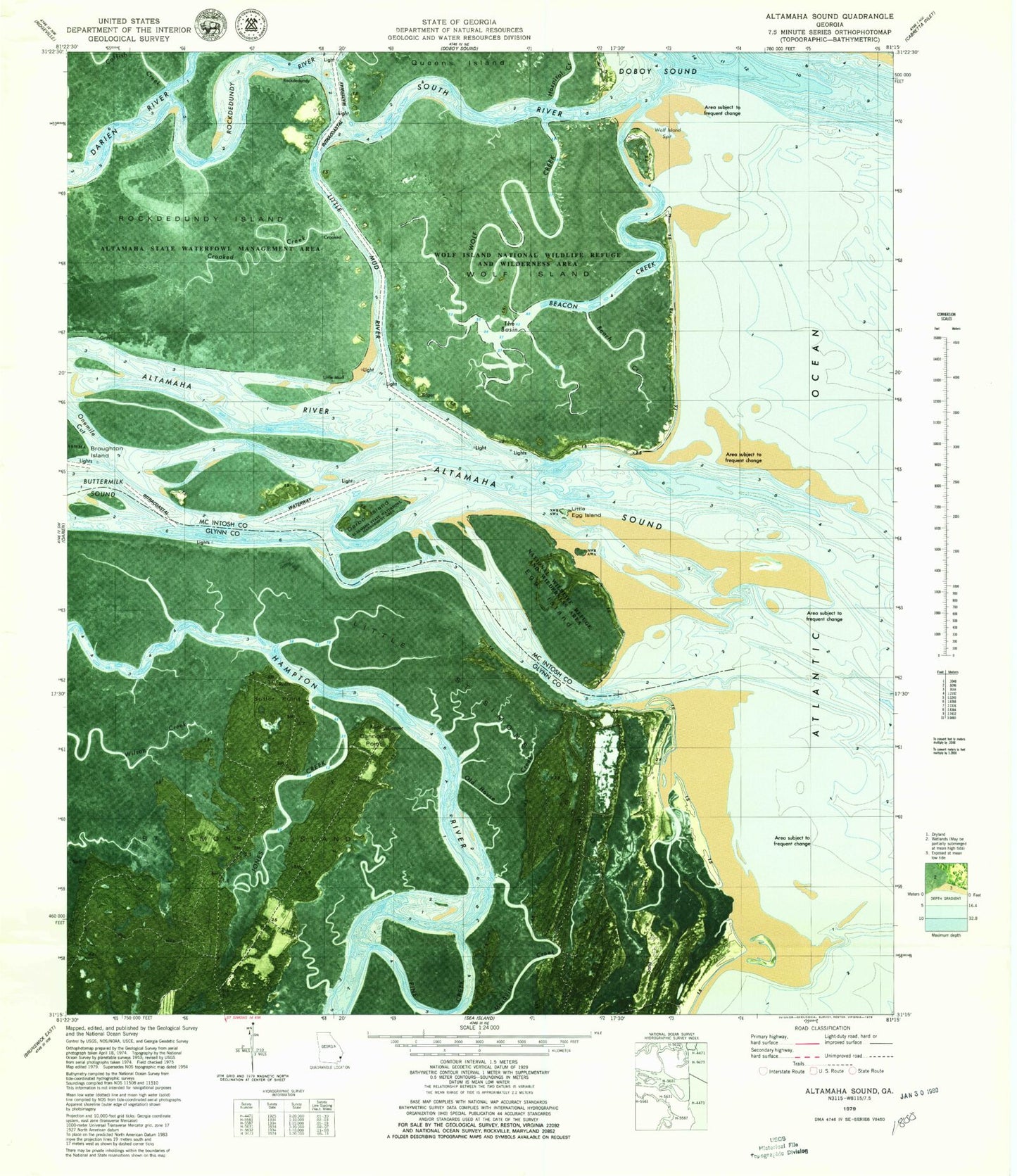
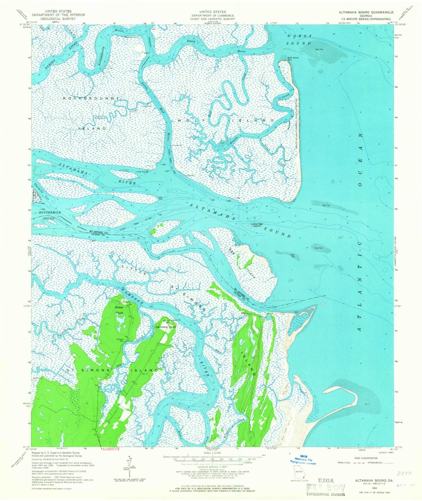
Classic USGS Altamaha Sound Georgia 7.5'x7.5' Topo Map
Couldn't load pickup availability
Historical USGS topographic quad map of Altamaha Sound in the state of Georgia. Typical map scale is 1:24,000, but may vary for certain years, if available. Print size: 24" x 27"
This quadrangle is in the following counties: Glynn, McIntosh.
The map contains contour lines, roads, rivers, towns, and lakes. Printed on high-quality waterproof paper with UV fade-resistant inks, and shipped rolled.
Contains the following named places: Pine Creek, Altamaha Sound, Beach Creek, Beacon Creek, Cannons Point, Crooked Creek, Darien River, Egg Island, Old House Creek, Jones Creek, Little Egg Island, Little Mud River, Little Saint Simons Island, Onemile Cut, Rockdedundy Island, Rockdedundy River, South River, Wolf Creek, Wolf Island, Wolf Island National Wildlife Refuge, Wolf Island Spit, Dolbow Island, Altamaha River, Butler Point, Busson Hill Plantation (historical), Cannons Point Plantation (historical), Hampton Plantation (historical), Saint Annies Planation (historical), Hospital Creek, Altamaha State Waterfowl Management Area, Wolf Island Wilderness, Pine Creek, Altamaha Sound, Beach Creek, Beacon Creek, Cannons Point, Crooked Creek, Darien River, Egg Island, Old House Creek, Jones Creek, Little Egg Island, Little Mud River, Little Saint Simons Island, Onemile Cut, Rockdedundy Island, Rockdedundy River, South River, Wolf Creek, Wolf Island, Wolf Island National Wildlife Refuge, Wolf Island Spit, Dolbow Island, Altamaha River, Butler Point, Busson Hill Plantation (historical), Cannons Point Plantation (historical), Hampton Plantation (historical), Saint Annies Planation (historical), Hospital Creek, Altamaha State Waterfowl Management Area, Wolf Island Wilderness


