MyTopo
Classic USGS Altamont East Illinois 7.5'x7.5' Topo Map
Couldn't load pickup availability
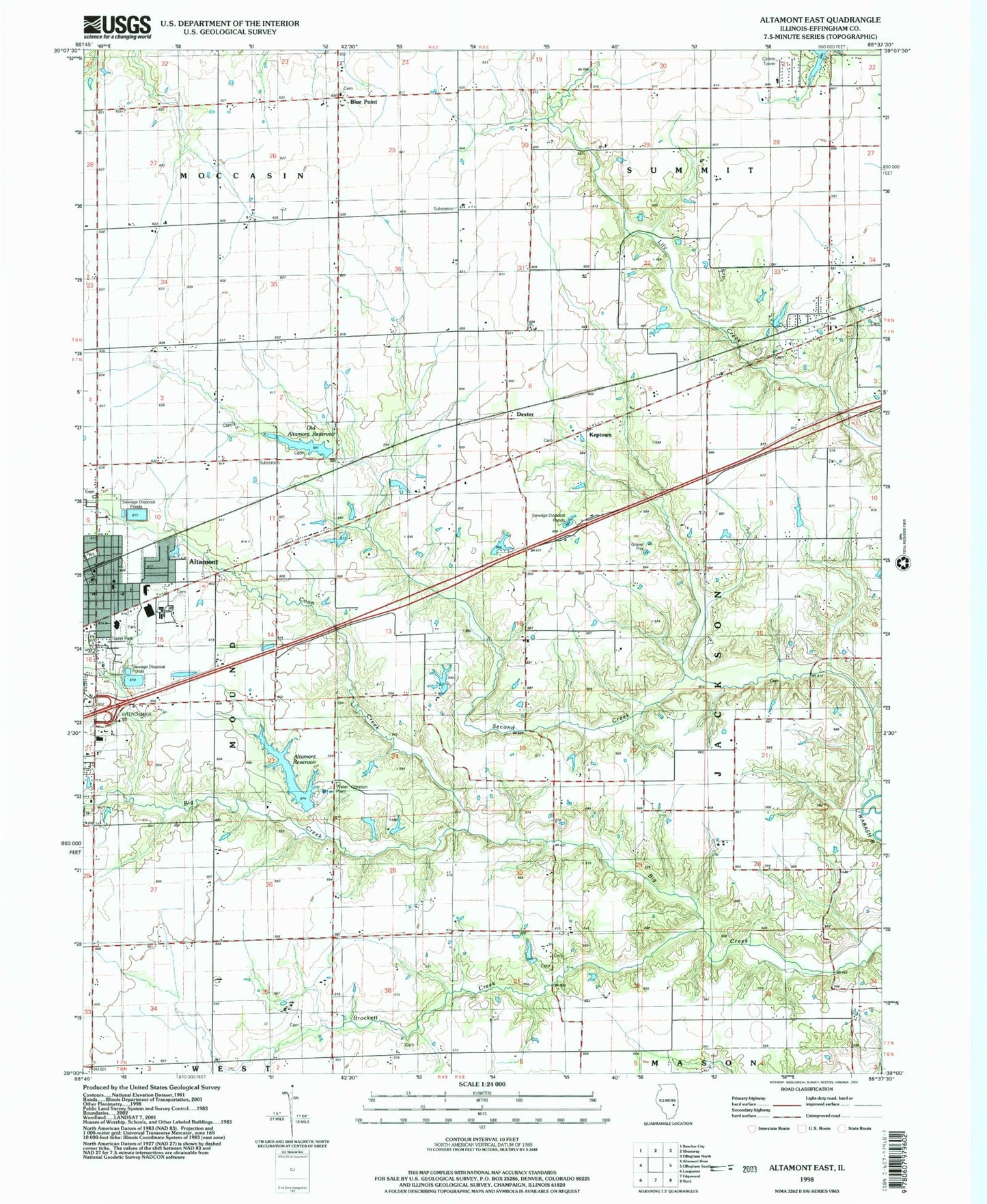
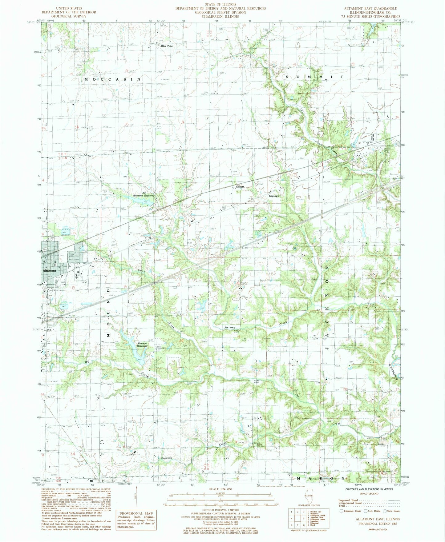
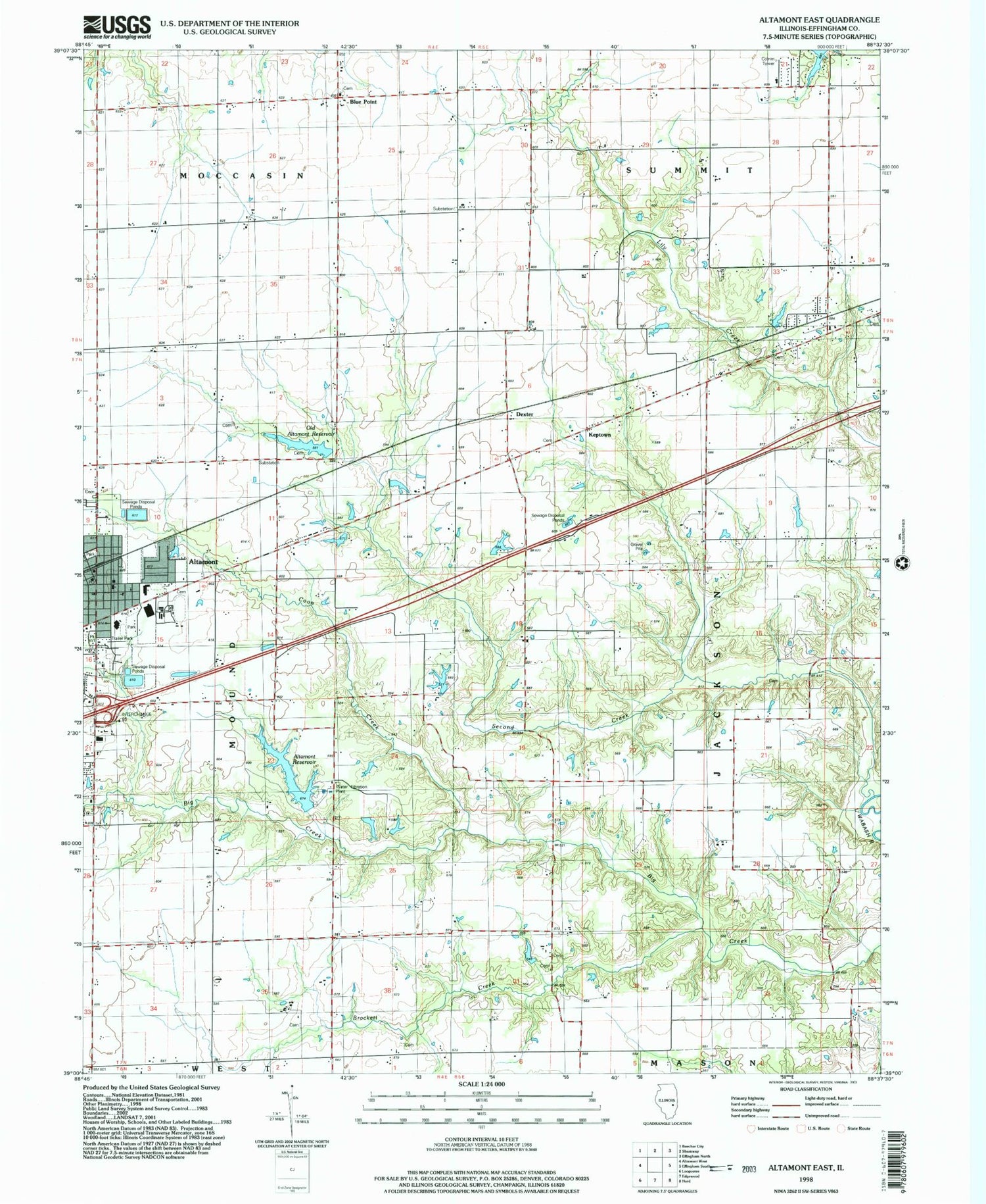
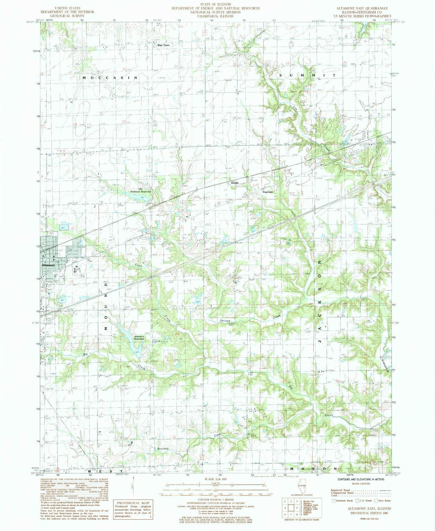
Historical USGS topographic quad map of Altamont East in the state of Illinois. Map scale may vary for some years, but is generally around 1:24,000. Print size is approximately 24" x 27"
This quadrangle is in the following counties: Effingham.
The map contains contour lines, roads, rivers, towns, and lakes. Printed on high-quality waterproof paper with UV fade-resistant inks, and shipped rolled.
Contains the following named places: Altamont, Altamont Ambulance Service, Altamont Christian Church, Altamont Grade School, Altamont High School, Altamont Lutheran Interparish School, Altamont Municipal Building, Altamont Police Department, Altamont Post Office, Altamont Public Library, Altamont Reservoir, Altamont Reservoir Dam, Altamont Water Treatment Plant, Arborcrest Memorial Park Cemetery, Banner School, Blue Point, Blue Point Post Office, Brockett Creek, Carpenter School, City of Altamont, Coon Creek, Defiance School, Devore School, Dexter, Drysdale Cemetery, East Meadows, Effingham County Fairgrounds, First Baptist Church, First Pentacostal Church, First United Methodist Church, Freemanton Cemetery, Freenanton, Frog Pond Nursery School, Funkhouser Cemetery, Funkhouser School, German Methodist Cemetery, Gieseking Ambulance Service, Gilbert Park, Heritage Park, Highland School, Immanuel Lutheran Cemetery, Immanuel Lutheran Church, Keptown, Little Prairie Cemetery, Little Prairie Church, McCoy Cemetery, McCoy School, Miller Chapel, Miller Chapel Cemetery, New Salem Cemetery, Newman Cemetery, North Fairview School, Old Altamont Reservoir, Old Altamont Reservoir Dam, Old Salem Cemetery, Osteen School, Parks School, Saint Clare Cemetery, Saint Paul Lutheran Cemetery, Saint Pauls Church, Salem Church, Schmidt Park, Second Creek, Shoemakers Pond, Shoemakers Pond Dam, Southmore Heights, Township of Jackson, Township of Mound, WBFG-FM (Effingham), Zion Lutheran Cemetery, Zion School, ZIP Code: 62411


