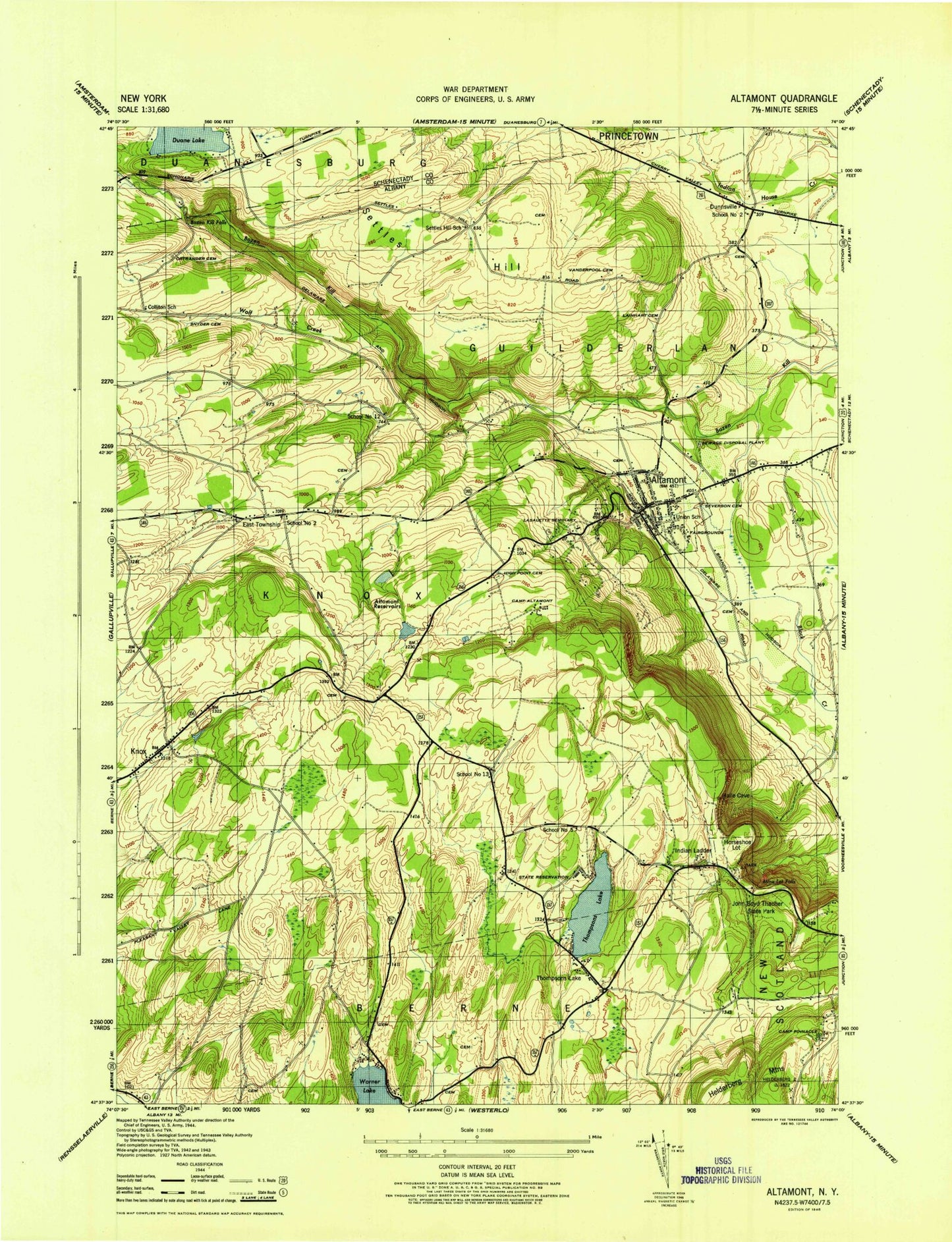
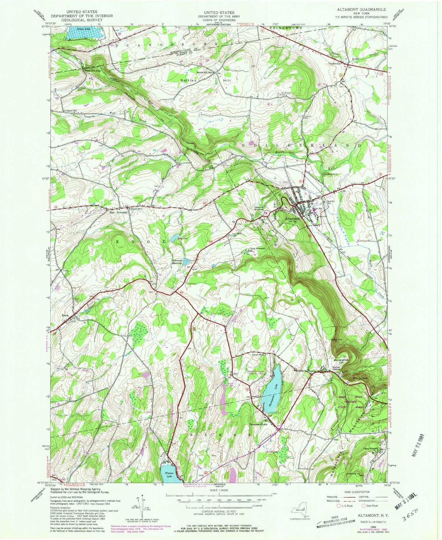
MyTopo
Classic USGS Altamont New York 7.5'x7.5' Topo Map
Couldn't load pickup availability
Historical USGS topographic quad map of Altamont in the state of New York. Typical map scale is 1:24,000, but may vary for certain years, if available. Print size: 24" x 27"
This quadrangle is in the following counties: Albany, Schenectady.
The map contains contour lines, roads, rivers, towns, and lakes. Printed on high-quality waterproof paper with UV fade-resistant inks, and shipped rolled.
Contains the following named places: Altamont, Altamont Reservoir, Bozen Kill Falls, Camp Altamont, Camp Pinnacle, Colliton School (historical), Duane Lake, Dunnsville, East Township, High Point Cemetery, Horseshoe Lot, Indian Ladder, Knox, Lainhart Cemetery, Lasalette Seminary, Mine Lot Falls, Ostrander Cemetery, Settles Hill, Settles Hill School (historical), Severson Cemetery, Snyder Cemetery, Thacher State Park, Thompsons Lake, Thompsons Lake, Altamont Elementary School, Vanderpool Cemetery, Warners Lake, Wolf Creek, School Number 12 (historical), School Number 13 (historical), School Number 2 (historical), School Number 5 (historical), WPYX-FM (Albany), WVCR-FM (Loudonville), WSHZ-FM (Rotterdam), WMHT-FM (Schenectady), WMHX-TV (Schenectady), WMHT-TV (Schenectady), Town of Knox, School Number 2 (historical), Village of Altamont, Cobb Memorial School, Noch Fiernan Farm, Altamont Orchards, Rolling Acres, Altamont Rescue Squad, Knox Fire District 16 Station 2, Altamont Fire Department, Altamont Rescue Squad, Knox Fire District 16 Station 1, Altamont Post Office