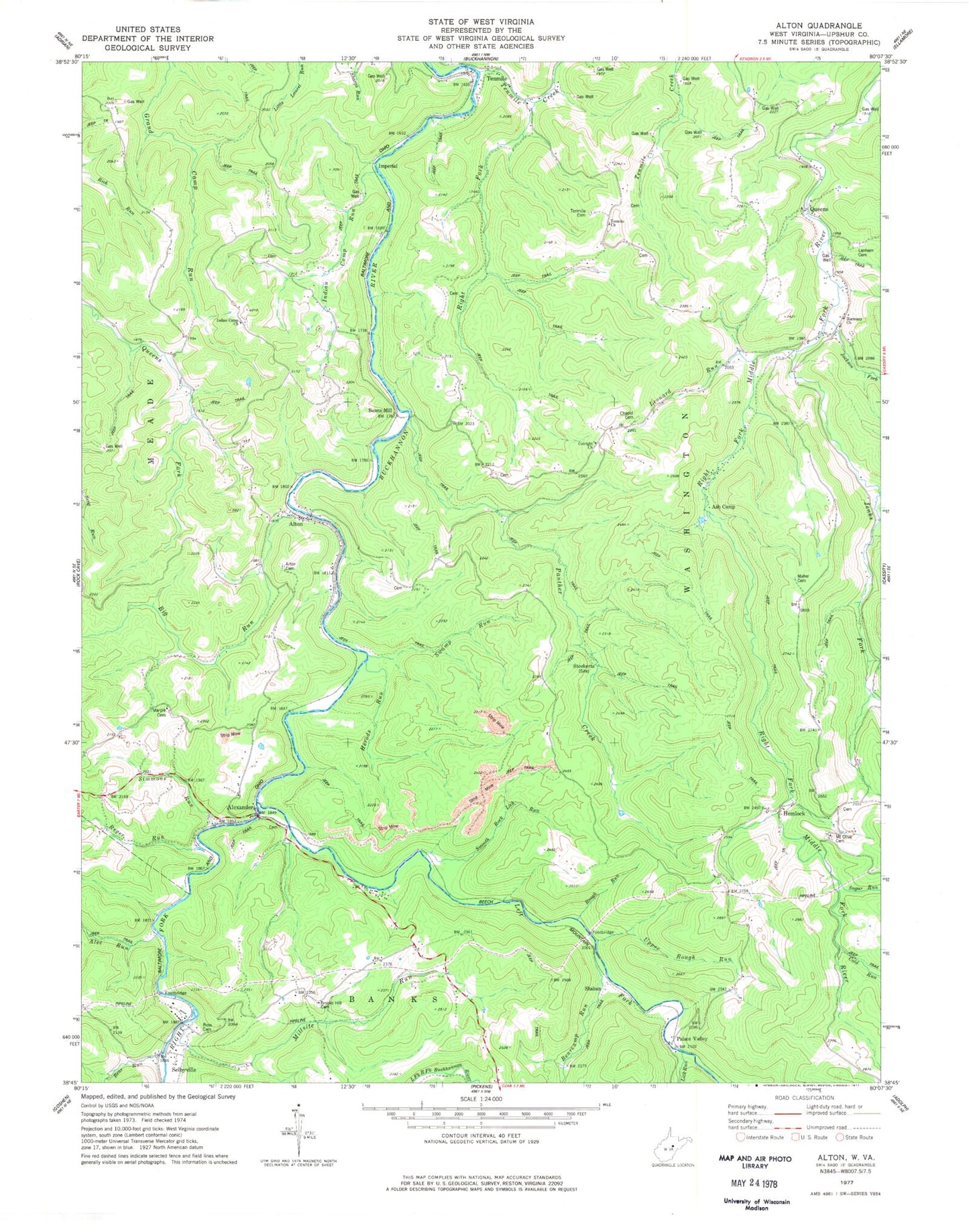
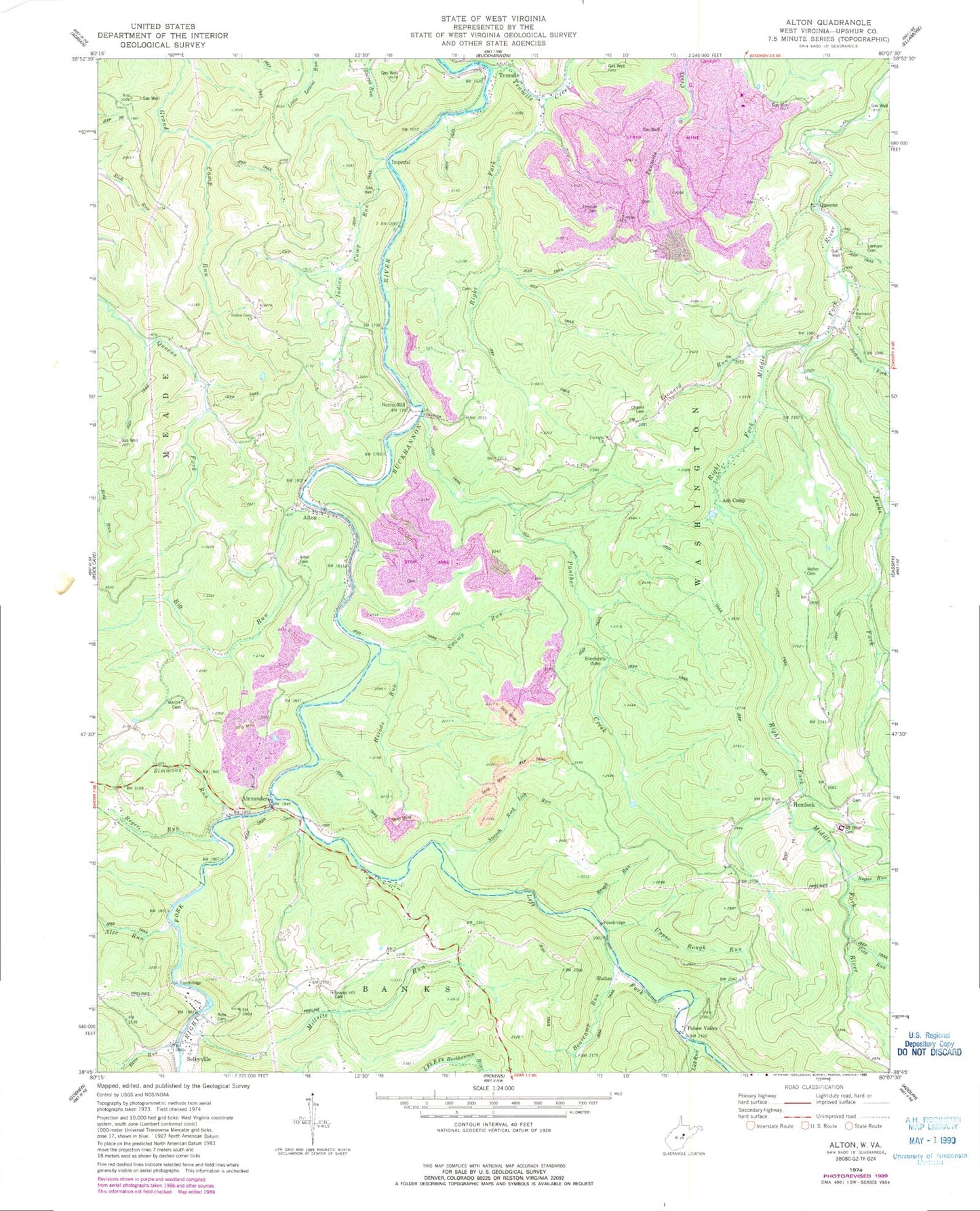
MyTopo
Classic USGS Alton West Virginia 7.5'x7.5' Topo Map
Couldn't load pickup availability
Historical USGS topographic quad map of Alton in the state of West Virginia. Typical map scale is 1:24,000, but may vary for certain years, if available. Print size: 24" x 27"
This quadrangle is in the following counties: Upshur.
The map contains contour lines, roads, rivers, towns, and lakes. Printed on high-quality waterproof paper with UV fade-resistant inks, and shipped rolled.
Contains the following named places: Alec Run, Alton Cemetery, Ash Camp, Bearcamp Run, Bens Run, Big Run, Brooks Hill Cemetery, Chapel Cemetery, Cutright Church, Harmany Church, Herods Run, Indian Camp Church, Indian Camp Run, Jackson Fork, Jenks Fork, Lanham Cemetery, Lick Run, Marple Chapel Cemetery, Millsite Run, Mount Olive Cemetery, Panther Creek, Reger Run, Right Fork Tenmile Creek, Ross Cemetery, Rough Run, Selbyville, Simmons Run, Smooth Rock Lick Run, Stockerts, Sugar Run, Swamp Run, Tenmile, Tenmile Cemetery, Tenmile Church, Upper Rough Run, Left Fork Right Fork Buckhannon River, Leonard Run, Alexander, Beans Mill, Palace Valley, Cold Run, Left Fork Buckhannon River, Right Fork Buckhannon River, Alton, Hemlock, Imperial, Queens, Shahan, Maher Cemetery, Leonard Run School Spring, Alton United Brethren Church, Bear Camp School (historical), Brooks School (historical), Burr School (historical), Carpenter School (historical), Chemical (historical), Church Knob, Cutright School (historical), Indian Camp School (historical), Jenks Fork School (historical), Marple School (historical), Mount Olive Methodist Episcopal Church, Upper Tenmile School (historical), Washington District (historical), Selbyville Volunteer Fire Department Station 7, James Curry Public Library