
MyTopo
Classic USGS Altona Nebraska 7.5'x7.5' Topo Map
Couldn't load pickup availability
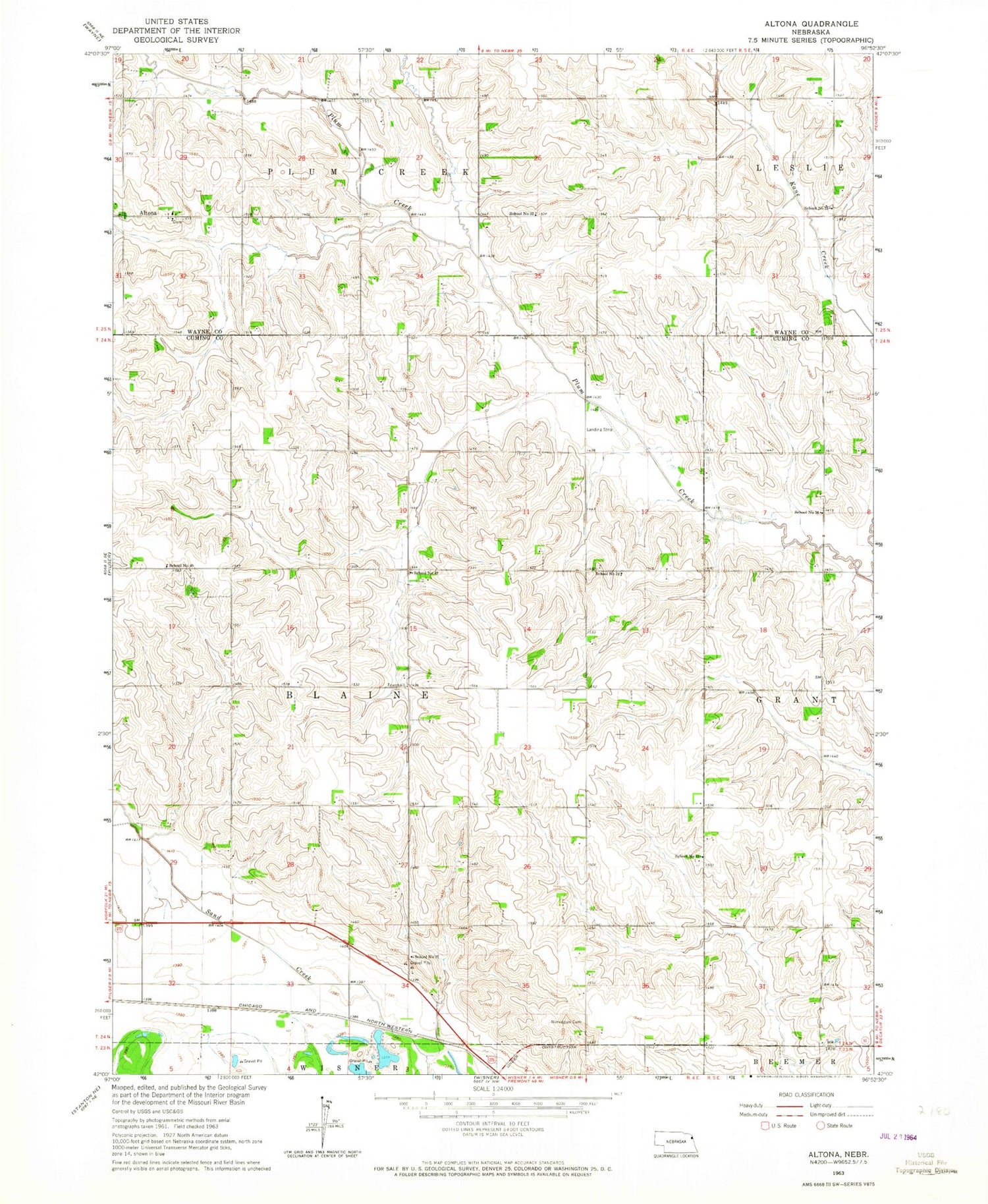
Historical USGS topographic quad map of Altona in the state of Nebraska. Map scale may vary for some years, but is generally around 1:24,000. Print size is approximately 24" x 27"
This quadrangle is in the following counties: Cuming, Wayne.
The map contains contour lines, roads, rivers, towns, and lakes. Printed on high-quality waterproof paper with UV fade-resistant inks, and shipped rolled.
Contains the following named places: Altona, Altona Post Office, First Trinity Lutheran Church, First Trinity Lutheran School, Kane Creek, Norwegian Cemetery, School Number 16, School Number 17, School Number 24, School Number 25, School Number 32, School Number 40, School Number 43, School Number 49, Township of Blaine


