MyTopo
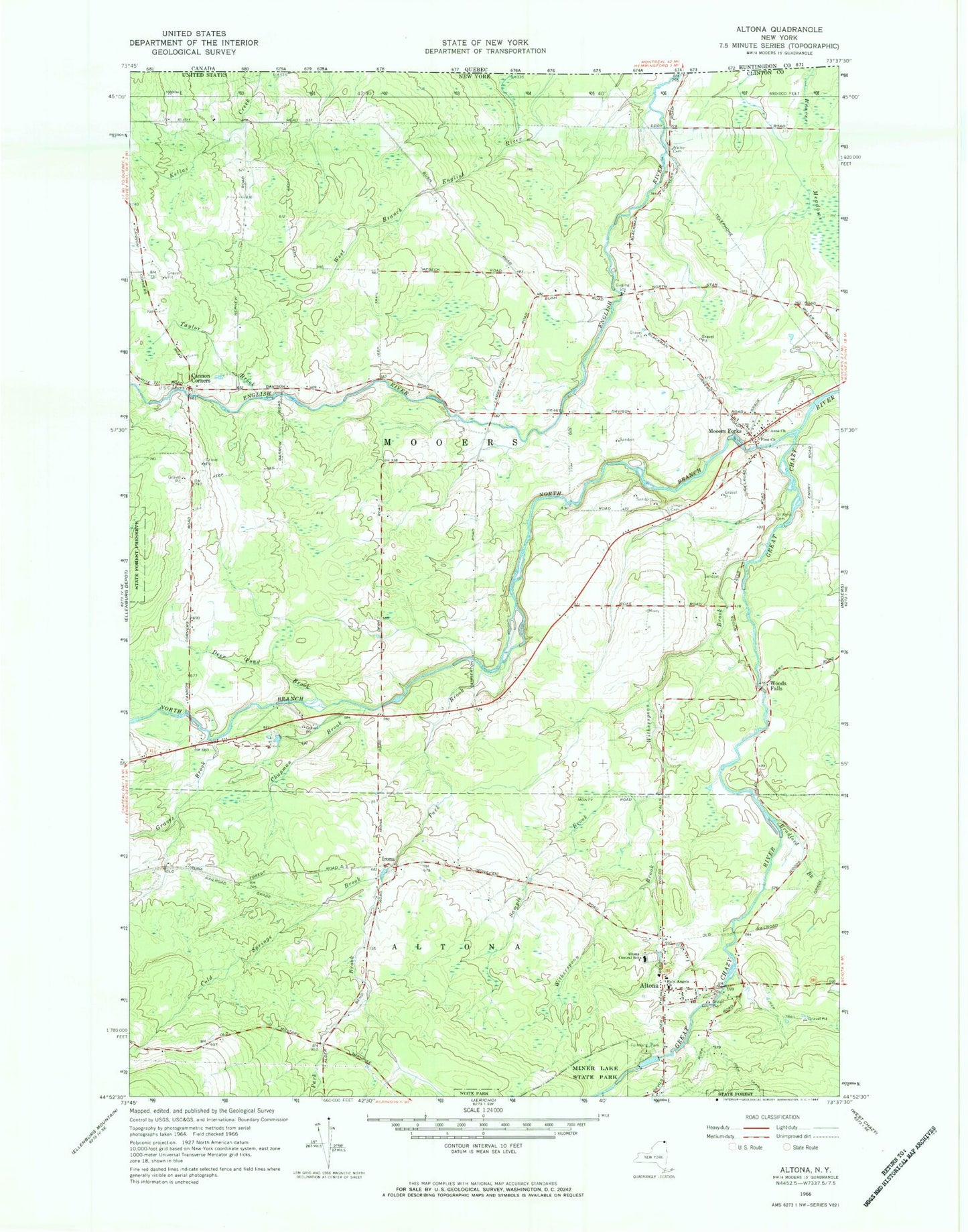
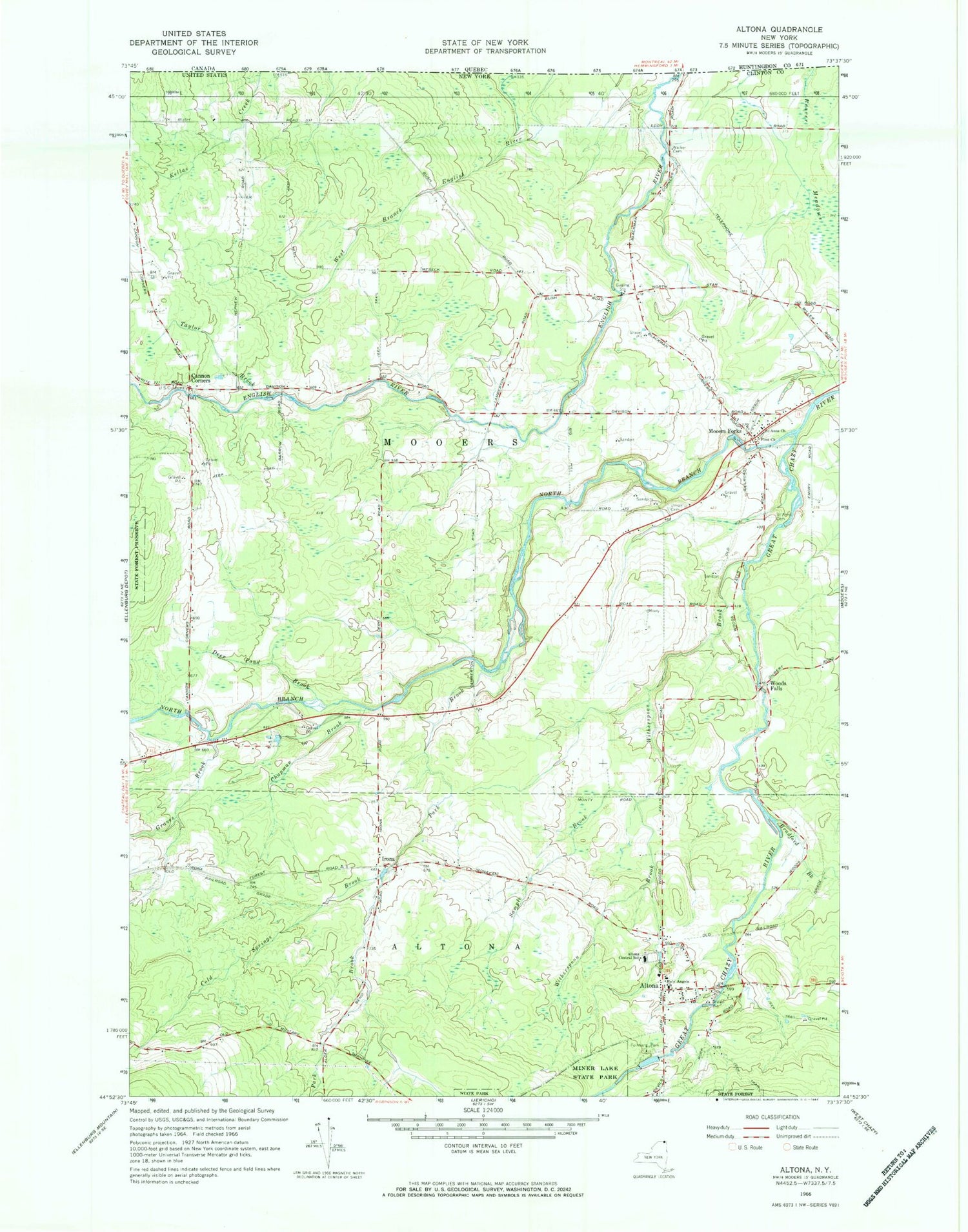
Classic USGS Altona New York 7.5'x7.5' Topo Map
Couldn't load pickup availability
Historical USGS topographic quad map of Altona in the state of New York. Map scale may vary for some years, but is generally around 1:24,000. Print size is approximately 24" x 27"
This quadrangle is in the following counties: Clinton.
The map contains contour lines, roads, rivers, towns, and lakes. Printed on high-quality waterproof paper with UV fade-resistant inks, and shipped rolled.
Contains the following named places: Altona, Altona Census Designated Place, Altona Central School, Altona Correctional Facility, Altona Post Office, Beaver Meadows, Bradford Brook, Cannon Corners, Chapman Brook, Cold Springs Brook, Deer Pond, Deer Pond Brook, Emerson School, Feinburg Park, First Church, Gero Road Bridge, Graves Brook, Holy Angels Church, Irona, Mooers Forks, Mooers Forks Post Office, North Branch Great Chazy River, Park Brook, Saint Anns Cemetery, Saint Anns Church, Sample Brook, Taylor Brook, Town of Mooers, Union Cemetery, Walker Cemetery, White School, Witherspoon Brook, Woods Falls, ZIP Code: 12959