
MyTopo
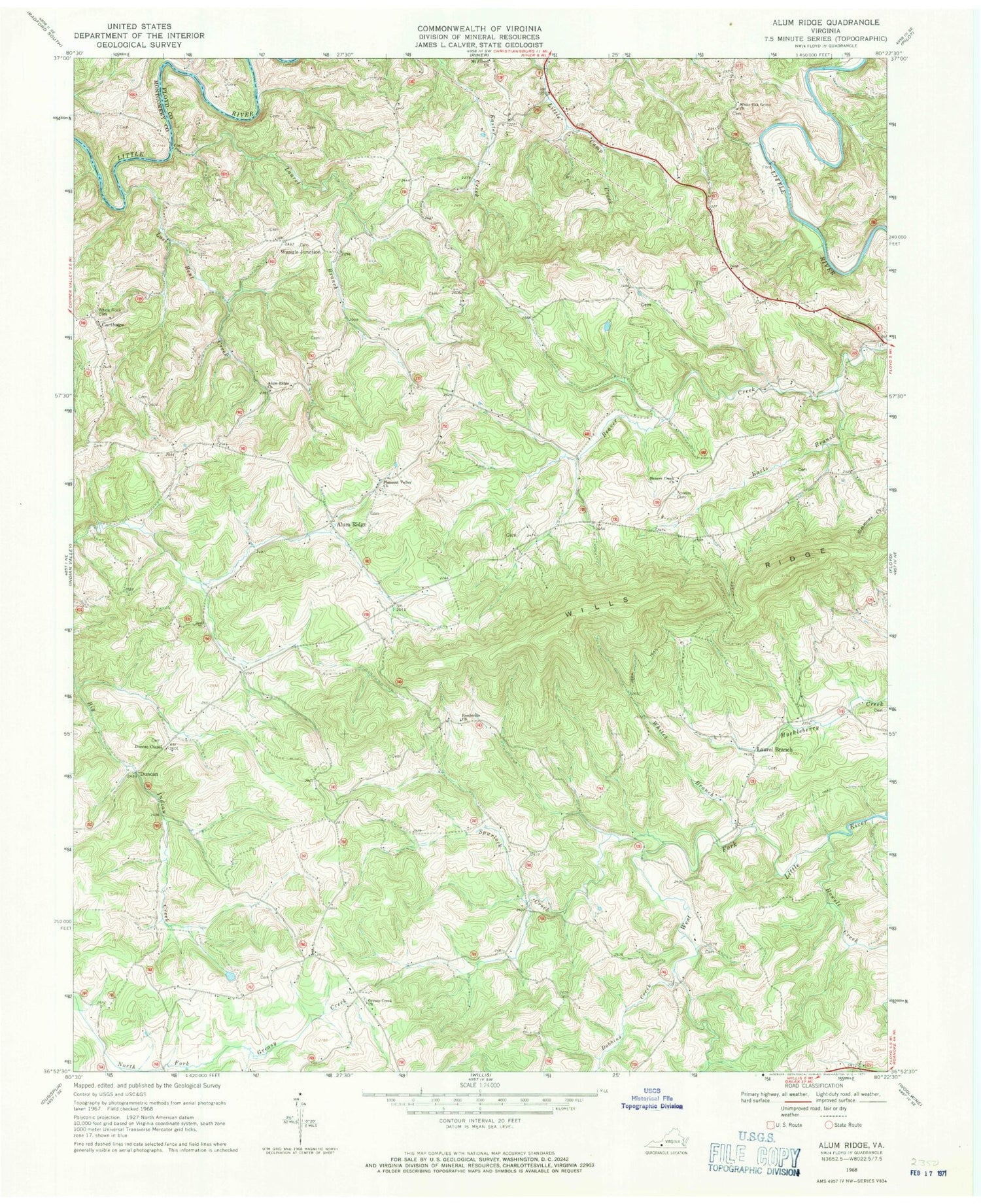
Classic USGS Alum Ridge Virginia 7.5'x7.5' Topo Map
Couldn't load pickup availability
Historical USGS topographic quad map of Alum Ridge in the state of Virginia. Typical map scale is 1:24,000, but may vary for certain years, if available. Print size: 24" x 27"
This quadrangle is in the following counties: Floyd, Montgomery.
The map contains contour lines, roads, rivers, towns, and lakes. Printed on high-quality waterproof paper with UV fade-resistant inks, and shipped rolled.
Contains the following named places: Alum Ridge, Alum Ridge Church, Beaver Creek Church, Dobbins Creek, Duncan Chapel Church, Earls Branch, Greasy Creek Church, Howell Creek, Laurel Branch, Lost Bent Creek, Pleasant Valley Church, Reedsville Church, Sidney Creek, Sowers Cemetery, Spurlock Creek, White Oak Grove Baptist Church, White Rock Cemetery, Wills Ridge, Duncan, Wangle Junction, Carthage, Laurel Branch, Alum Ridge School (historical), Duncan Cemetery, Laurel Branch Church, Mannon Cemetery, West Fork Church (historical), Alum Ridge Airport, Deer Run Airport, Duncan Farm


