MyTopo
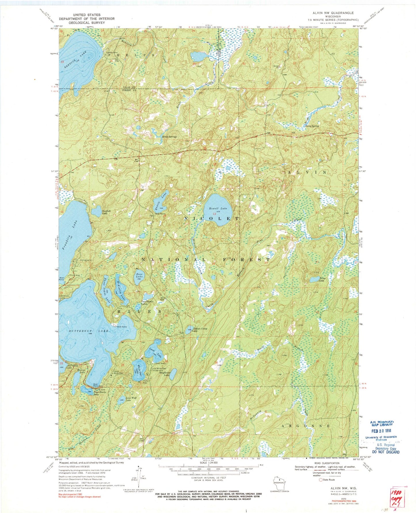
Classic USGS Alvin NW Wisconsin 7.5'x7.5' Topo Map
Couldn't load pickup availability
Historical USGS topographic quad map of Alvin NW in the state of Wisconsin. Typical map scale is 1:24,000, but may vary for certain years, if available. Print size: 24" x 27"
This quadrangle is in the following counties: Forest, Vilas.
The map contains contour lines, roads, rivers, towns, and lakes. Printed on high-quality waterproof paper with UV fade-resistant inks, and shipped rolled.
Contains the following named places: Bose Lake, Briss Lake, Brule Springs, Butternut Lake, Camp White Deer, Four Ducks Lake, Harmony Lake, Harriet Lake, Howell Creek, Howell Lake, Indian Camp Lake, Kentuck Creek, Kentuck Lake, Lone Wolf Lake, Luna Lake, Luna-White Deer Campground, Mayflower Lake, McKinley Lake, North Branch McDonald Creek, Perry Spring, Quartz Lake, Sunfish Lake, Three Johns Lake, Two Sisters Lakes, White Deer Lake, Franklin Lake Campground, Kentuck Lake Campground, Reservoir Lake, Forks Dam, Camp 14 (historical), Griswolds Camp, Rosen Dam, Bose Lake Hemlock-Hardwoods State Natural Area, Two Dutchmen Lake