
MyTopo
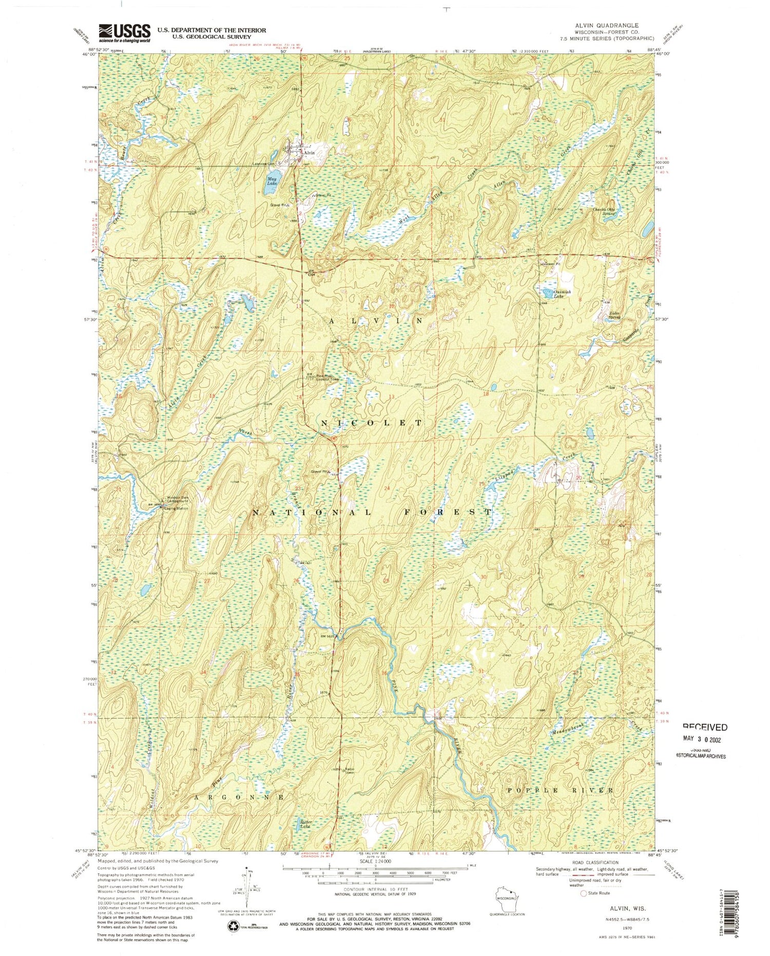
Classic USGS Alvin Wisconsin 7.5'x7.5' Topo Map
Couldn't load pickup availability
Historical USGS topographic quad map of Alvin in the state of Wisconsin. Typical map scale is 1:24,000, but may vary for certain years, if available. Print size: 24" x 27"
This quadrangle is in the following counties: Forest.
The map contains contour lines, roads, rivers, towns, and lakes. Printed on high-quality waterproof paper with UV fade-resistant inks, and shipped rolled.
Contains the following named places: Alvin, Alvin Creek, Charlie Otto Spring, Lakeview Cemetery, May Lake, North Branch Pine River, Ritter Lake, West Allen Creek, Wildcat Creek, Windsor Dam Campground, Zieler Spring, Alvin Creek Impoundment, Killborn Lake, Cold Spring, Pine River Lookout Tower, Onimish Lake, Town of Alvin, Alvin Volunteer Fire and Rescue


