
MyTopo
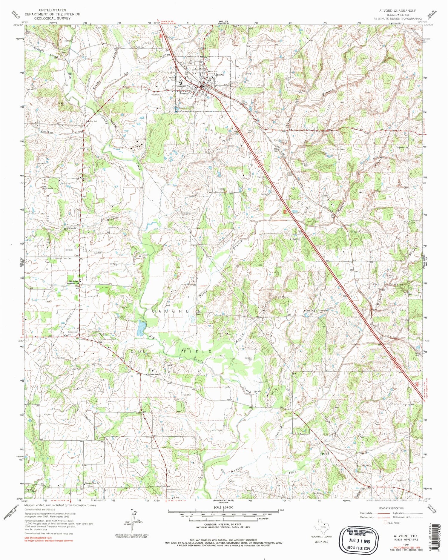
Classic USGS Alvord Texas 7.5'x7.5' Topo Map
Couldn't load pickup availability
Historical USGS topographic quad map of Alvord in the state of Texas. Map scale may vary for some years, but is generally around 1:24,000. Print size is approximately 24" x 27"
This quadrangle is in the following counties: Wise.
The map contains contour lines, roads, rivers, towns, and lakes. Printed on high-quality waterproof paper with UV fade-resistant inks, and shipped rolled.
Contains the following named places: Alvord, Alvord Post Office, Alvord Southeast Bryson Oil Field, Alvord Volunteer Fire Department, Boonsville Oil Field, Briar Branch, Briar Branch Cemetery, Brushy Creek, Caughlin Oil Field, Chicken Creek, Church of Christ, Dry Hollow, First Baptist Church, Hopewell Cemetery, Hopewell Church, Jonestown Cemetery, Lone Star Church, Lyndon B Johnson National Grassland, Lyndon B Johnson National Grasslands Trail, Mount Zion Church, Mudhole Branch, Pleasant Grove Cemetery, Pleasant View Church, Pringle Creek, Sandy Creek, Spectre Field, Thomas Cemetery, Town of Alvord, Twin Pond Creek, Vance Field, Walker Branch, Zion Valley Cumberland Church, ZIP Code: 76225


