
MyTopo
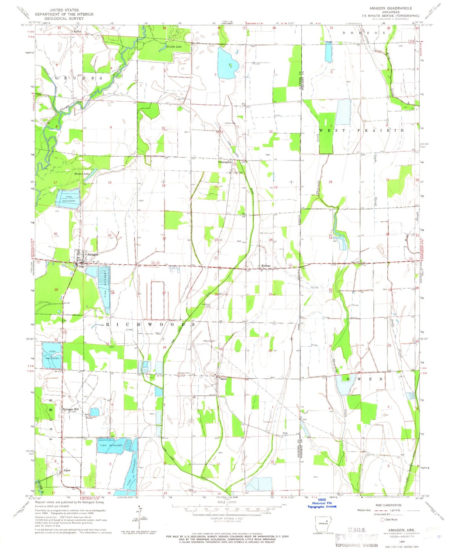
Classic USGS Amagon Arkansas 7.5'x7.5' Topo Map
Couldn't load pickup availability
Historical USGS topographic quad map of Amagon in the state of Arkansas. Map scale may vary for some years, but is generally around 1:24,000. Print size is approximately 24" x 27"
This quadrangle is in the following counties: Jackson, Poinsett.
The map contains contour lines, roads, rivers, towns, and lakes. Printed on high-quality waterproof paper with UV fade-resistant inks, and shipped rolled.
Contains the following named places: Algoa, Amagon, Amagon Baptist Church, Amagon Post Office, Balch, Brewer Lake, Carter Cemetery, Estico, Ford Cemetery, Grindle Lake, Jackson Cemetery, Jackson County Landfill, Johnson Cemetery, Martin Cemetery, Midway, Pennington, Richwood Volunteer Fire Station, Snake Slough, Stringers Mill, Taps Church, Town of Amagon, Township of Richwoods, Wilkinsville, ZIP Code: 72005


