
MyTopo
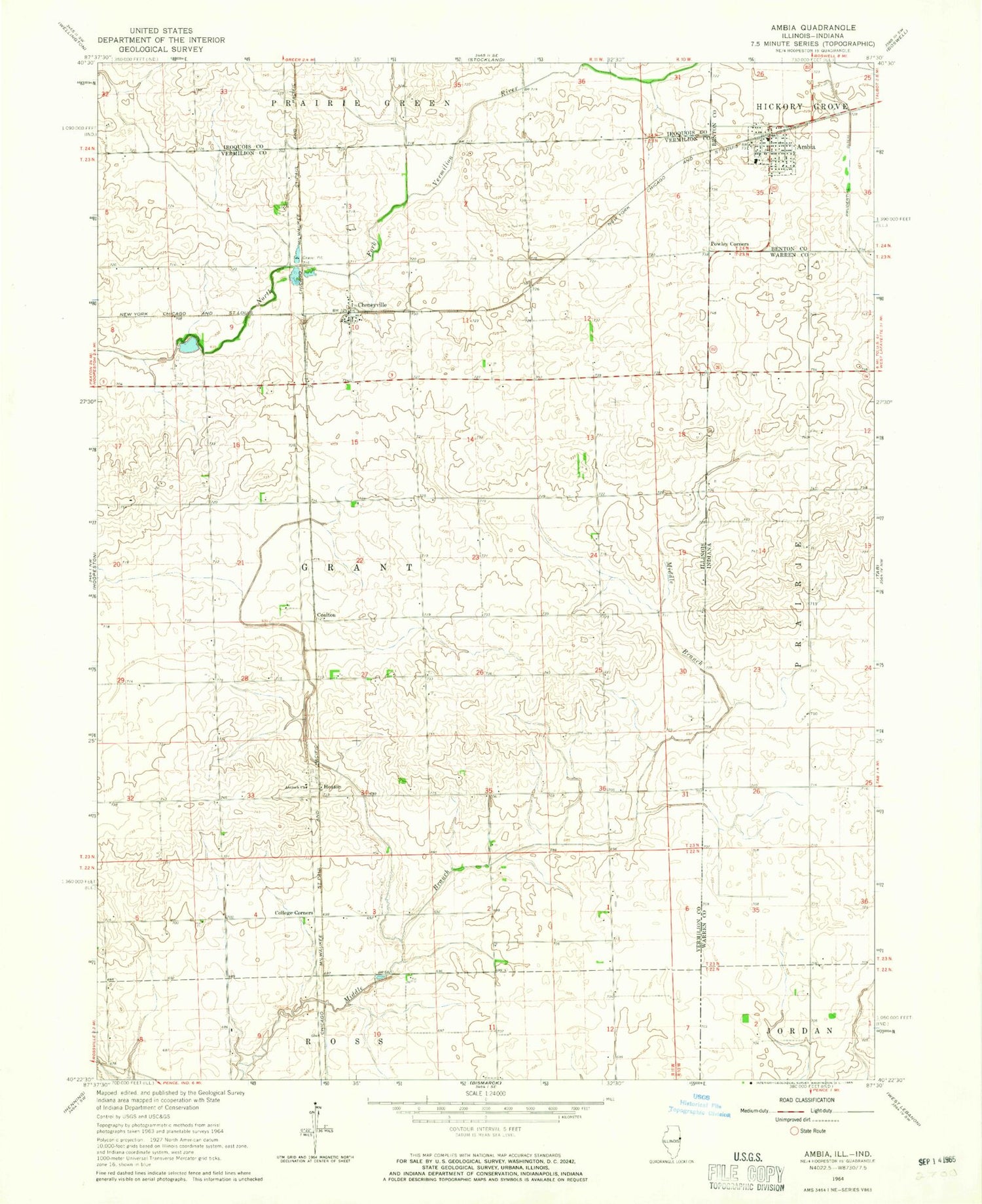
Classic USGS Ambia Indiana 7.5'x7.5' Topo Map
Couldn't load pickup availability
Historical USGS topographic quad map of Ambia in the states of Indiana, Illinois. Map scale may vary for some years, but is generally around 1:24,000. Print size is approximately 24" x 27"
This quadrangle is in the following counties: Benton, Iroquois, Vermilion, Warren.
The map contains contour lines, roads, rivers, towns, and lakes. Printed on high-quality waterproof paper with UV fade-resistant inks, and shipped rolled.
Contains the following named places: Ambia, Ambia Post Office, Antioch Church, Bridgeman School, Cheneyville, Coalton, College Corners, College Corners School, Fairview School, Goldsbery School, Heaton, Hickory Grove Township Fire Department, Norton School, Pond School, Powley Corners, Prudential Ditch, Town of Ambia


