MyTopo
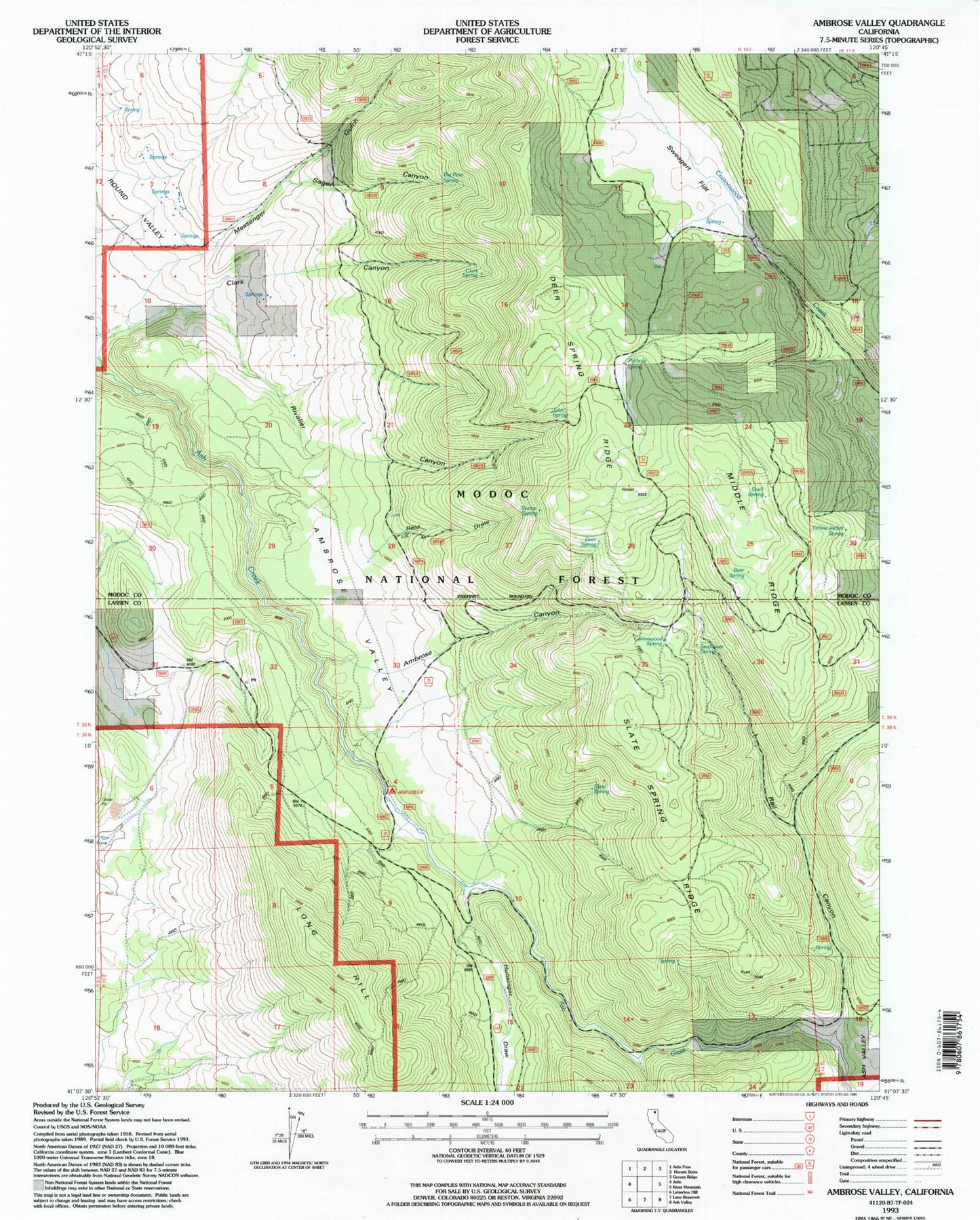
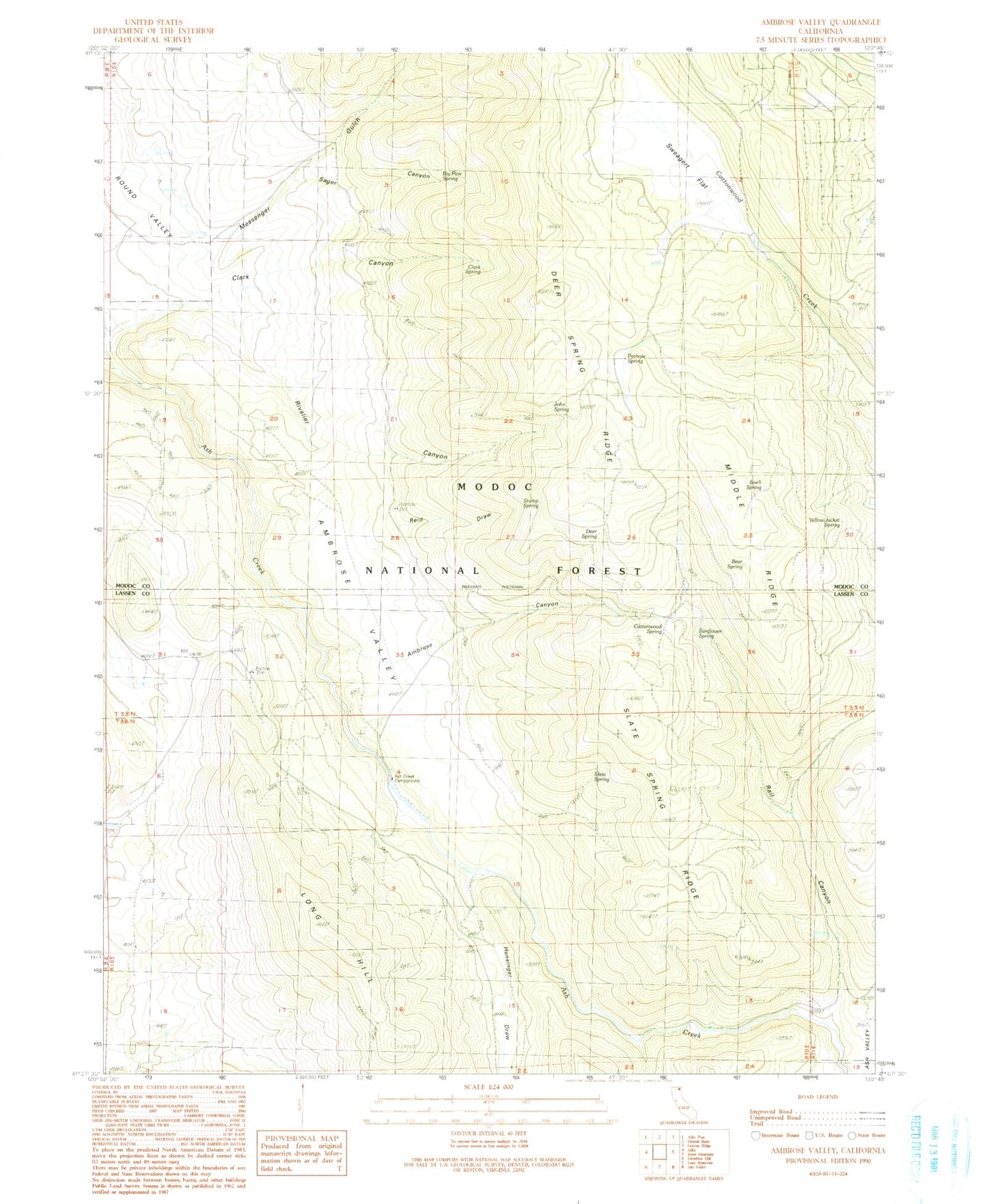
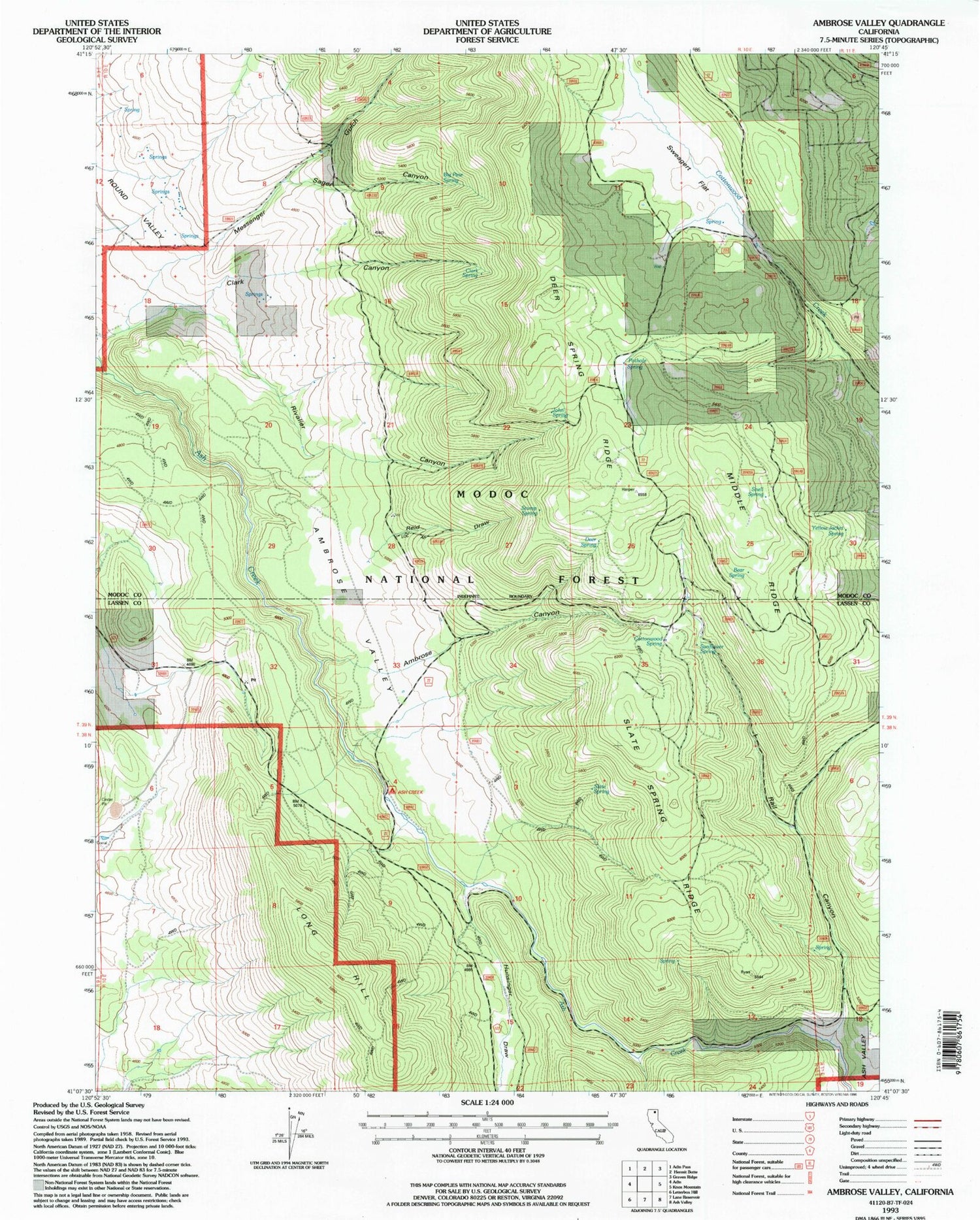
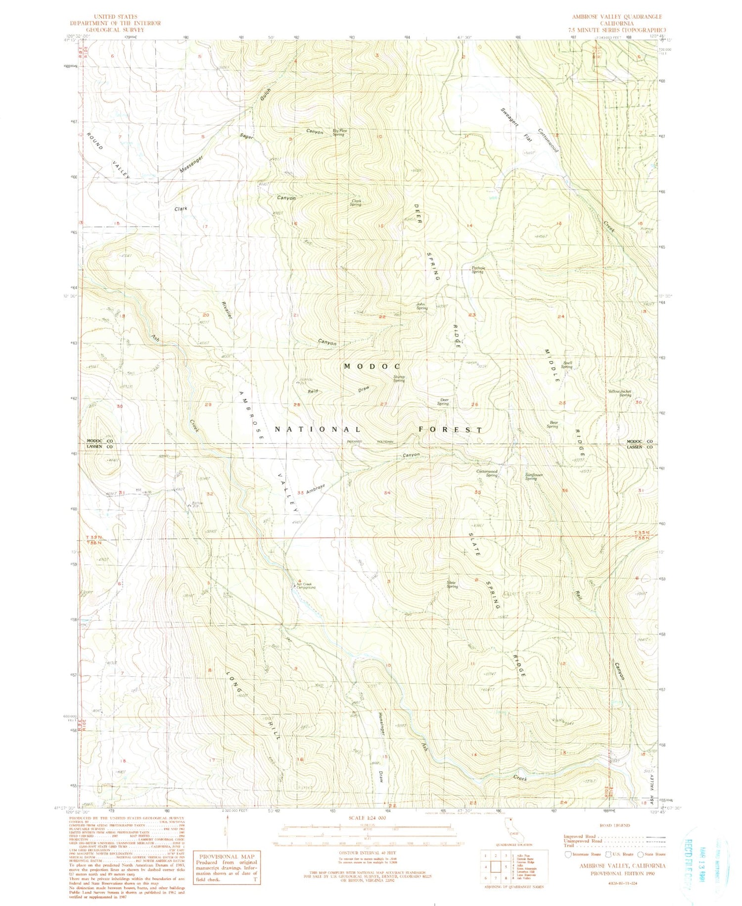
Classic USGS Ambrose Valley California 7.5'x7.5' Topo Map
Couldn't load pickup availability
Historical USGS topographic quad map of Ambrose Valley in the state of California. Map scale may vary for some years, but is generally around 1:24,000. Print size is approximately 24" x 27"
This quadrangle is in the following counties: Lassen, Modoc.
The map contains contour lines, roads, rivers, towns, and lakes. Printed on high-quality waterproof paper with UV fade-resistant inks, and shipped rolled.
Contains the following named places: Ambrose Canyon, Ambrose Valley, Ash Creek Campground, Ash Valley, Bear Spring, Big Pine Spring, Clark Canyon, Clark Spring, Cottonwood Spring, Dan Ryan Place, Deer Spring, Deer Spring Ridge, Hunsinger Draw, John Spring, Long Hill, Messenger Gulch, Middle Ridge, Pothole Spring, Rail Canyon, Reid Draw, Rivalier Canyon, Sager Canyon, Slate Spring, Slate Spring Ridge, Snell Spring, Stump Spring, Sunflower Spring, Sweagert Flat, Yellow Jacket Spring, ZIP Code: 96006


