MyTopo
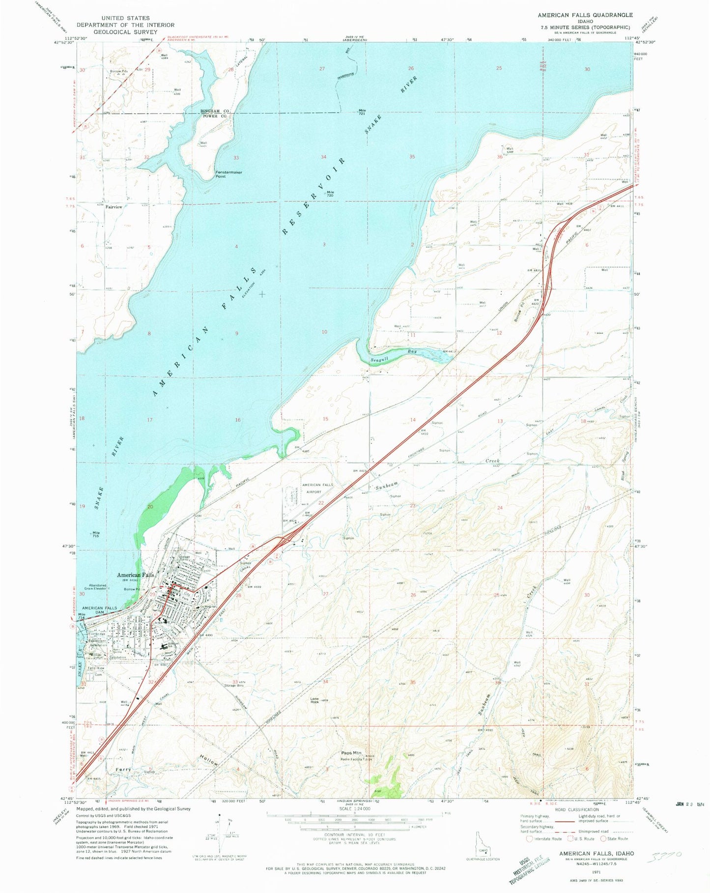
Classic USGS American Falls Idaho 7.5'x7.5' Topo Map
Couldn't load pickup availability
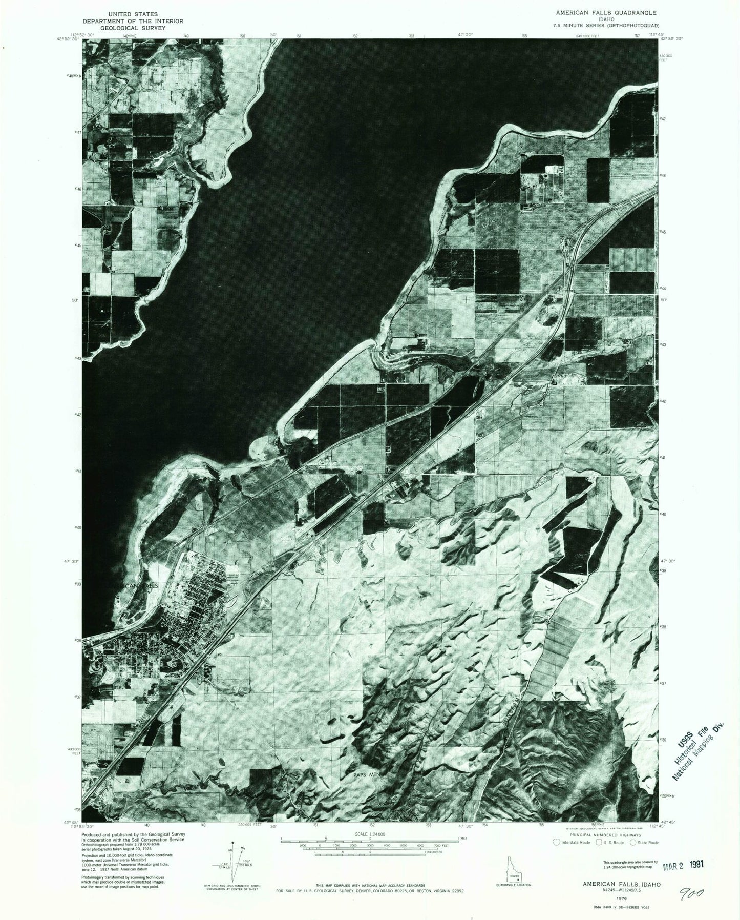
Historical USGS topographic quad map of American Falls in the state of Idaho. Map scale may vary for some years, but is generally around 1:24,000. Print size is approximately 24" x 27"
This quadrangle is in the following counties: Bingham, Power.
The map contains contour lines, roads, rivers, towns, and lakes. Printed on high-quality waterproof paper with UV fade-resistant inks, and shipped rolled.
Contains the following named places: American Falls, American Falls Airport, American Falls Fire Department, American Falls High School, American Falls Police Department, American Falls Post Office, American Falls Rural Fire Department, Blind Spring Creek, City of American Falls, E 3.0 Lateral, E 4.6 Lateral, E 7.1 Lateral, East Canal, Fairview, Falls View Cemetery, Fenstermaker Point, Hillcrest Elementary School, Lateral Q Spill, Lateral Q1, Lone Rock, Main East Canal, Paps Mountain, Park View Shopping Center, Power County Emergency Medical Services American Falls, Power County Fairgrounds, Power County Hospital, Power County Sheriff's Office, Seagull Bay, Spill Q, Spill Q1, Sunbeam Creek, W 1.7 Lateral, William Thomas Middle School