
MyTopo
Classic USGS Americus Missouri 7.5'x7.5' Topo Map
Couldn't load pickup availability
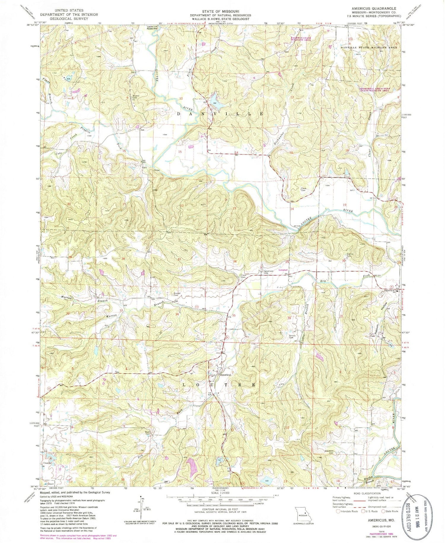
Historical USGS topographic quad map of Americus in the state of Missouri. Map scale may vary for some years, but is generally around 1:24,000. Print size is approximately 24" x 27"
This quadrangle is in the following counties: Montgomery.
The map contains contour lines, roads, rivers, towns, and lakes. Printed on high-quality waterproof paper with UV fade-resistant inks, and shipped rolled.
Contains the following named places: Allgeyer Lake, Allgeyer Lake Dam, Americus, Big Spring Fire Protection District Station 2, Big Spring R-1 School, Bridge School, Bryant Cemetery, Bush Cemetery, Clark Cemetery, Clear Creek, Cole Creek, Danville State Wildlife Area, Delgman Lake, Delgman Lake Dam, Dishwater Creek, Fairview School, Fonso Branch, Freedom School, Gentry Cemetery, Hart School, Henry Lake Dam, Hunter Cemetery, Kendrick Cemetery, Kendrick School, Kenny Lake Dam, Lichte Branch, Loutre, Loutre Lick Access Area, Loutre Post Office, Loutre Valley Dam, Loutre Valley Lake, Loutre Valley School, Milzark Dam, Milzark Lake, Morrow Branch, Munzlinger Lake Dam, Number 224 Reservoir, Pinch Creek, Possum Hollow, Prairie Fork, Prairie Fork School, Senethem Cemetery, Simpson Branch, Thornhill and Schulz State Wildlife Area, Township of Loutre, Warden Branch, Warren Branch, Whiteside School, ZIP Code: 65069


