MyTopo
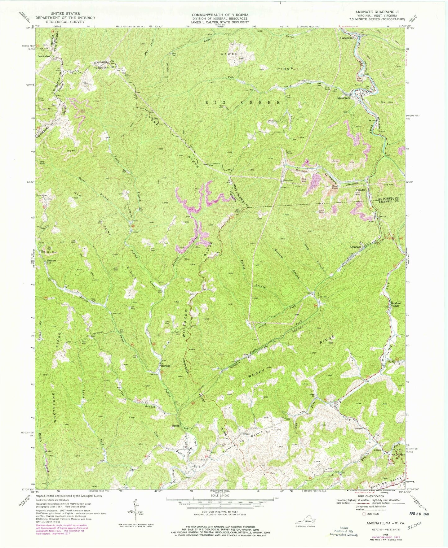
Classic USGS Amonate Virginia 7.5'x7.5' Topo Map
Couldn't load pickup availability
Historical USGS topographic quad map of Amonate in the states of Virginia, West Virginia. Map scale may vary for some years, but is generally around 1:24,000. Print size is approximately 24" x 27"
This quadrangle is in the following counties: Buchanan, McDowell, Tazewell.
The map contains contour lines, roads, rivers, towns, and lakes. Printed on high-quality waterproof paper with UV fade-resistant inks, and shipped rolled.
Contains the following named places: Amonate, Amonate Census Designated Place, Amonate Post Office, Bandy, Bandy Assembly of God Church, Bandy Post Office, Bandy Volunteer Fire Department, Bearwallow, Bearwallow School, Beech Fork, Beech Fork School, Bevers Store, Big Fork Ridge, Bills Branch, Camp Tazewell, Canebrake, Coal Branch, Dry Fork Slurry Impoundment Dam, Dunford Village, Faraday, Gap Store, Greasy Creek, Harman, Hartwell - Berwind Cemetery, Hix, Indian Creek School, Jackson Fork, Johny Branch, Kewee Ridge, Lamberts Store, Lewis Fork, Lick Branch, Lick Branch School, Long Branch, North Branch Indian Creek, Panther Branch, Pleasant Hill, Ray Fork, Reedy School, Rivermont School, Rocky Ridge, Salem Church, Sinking Waters, Sinking Waters School, South Branch Indian Creek, Stone Steps, The Jumps, Thirtyone Camp, Thirtyone Hollow, Vall Creek, Vallscreek, Vallscreek Post Office, Vallscreek Slurry Pond, Whetstone Ridge, Whitaker Ridge, William Branch, ZIP Codes: 24601, 24602, 24815