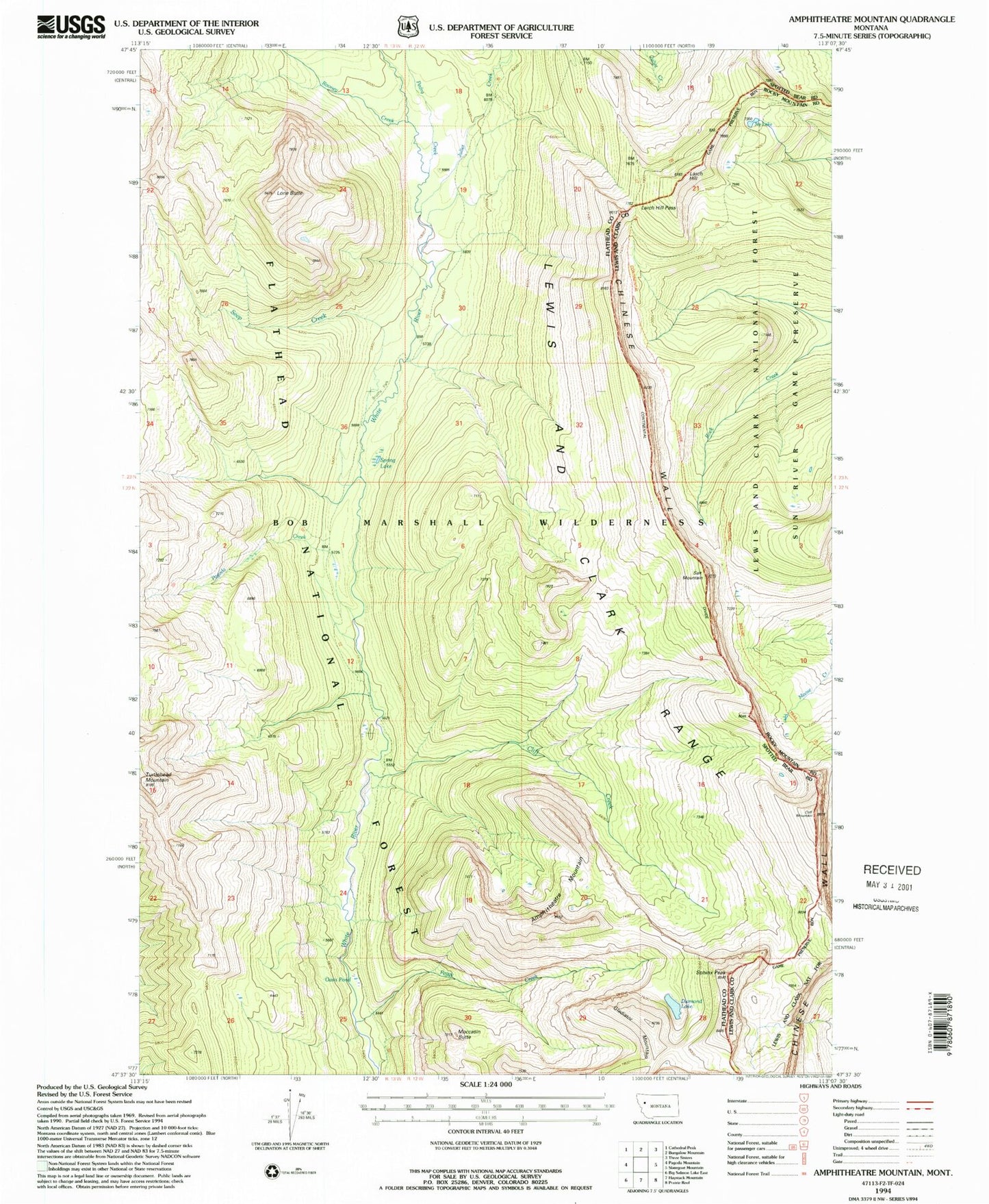
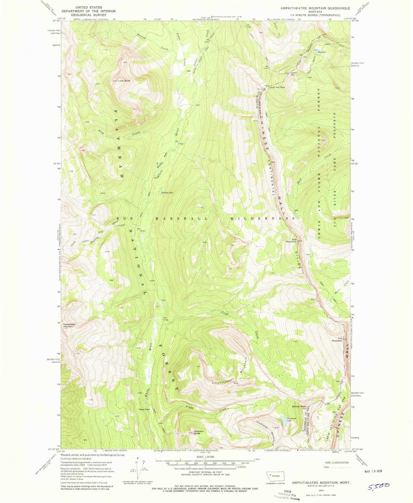
MyTopo
Classic USGS Amphitheatre Mountain Montana 7.5'x7.5' Topo Map
Couldn't load pickup availability
Historical USGS topographic quad map of Amphitheatre Mountain in the state of Montana. Typical map scale is 1:24,000, but may vary for certain years, if available. Print size: 24" x 27"
This quadrangle is in the following counties: Flathead, Lewis and Clark.
The map contains contour lines, roads, rivers, towns, and lakes. Printed on high-quality waterproof paper with UV fade-resistant inks, and shipped rolled.
Contains the following named places: Amphitheatre Mountain, Brushy Park, Cliff Creek, Diamond Lake, Gladiator Mountain, Helen Creek Trail, Larch Hill Trail, Lone Butte, Moccasin Butte, Oasis Pond, Pagoda Creek, Pedro Creek, Peggy Creek, Rooney Creek, Seep Creek, Spring Lake, White River Trail, Chinese Wall, Cliff Mountain, Juliet Creek, Larch Hill, Larch Hill Pass, My Lake, Salt Mountain, Sphinx Peak, Bob Marshall Wilderness