MyTopo
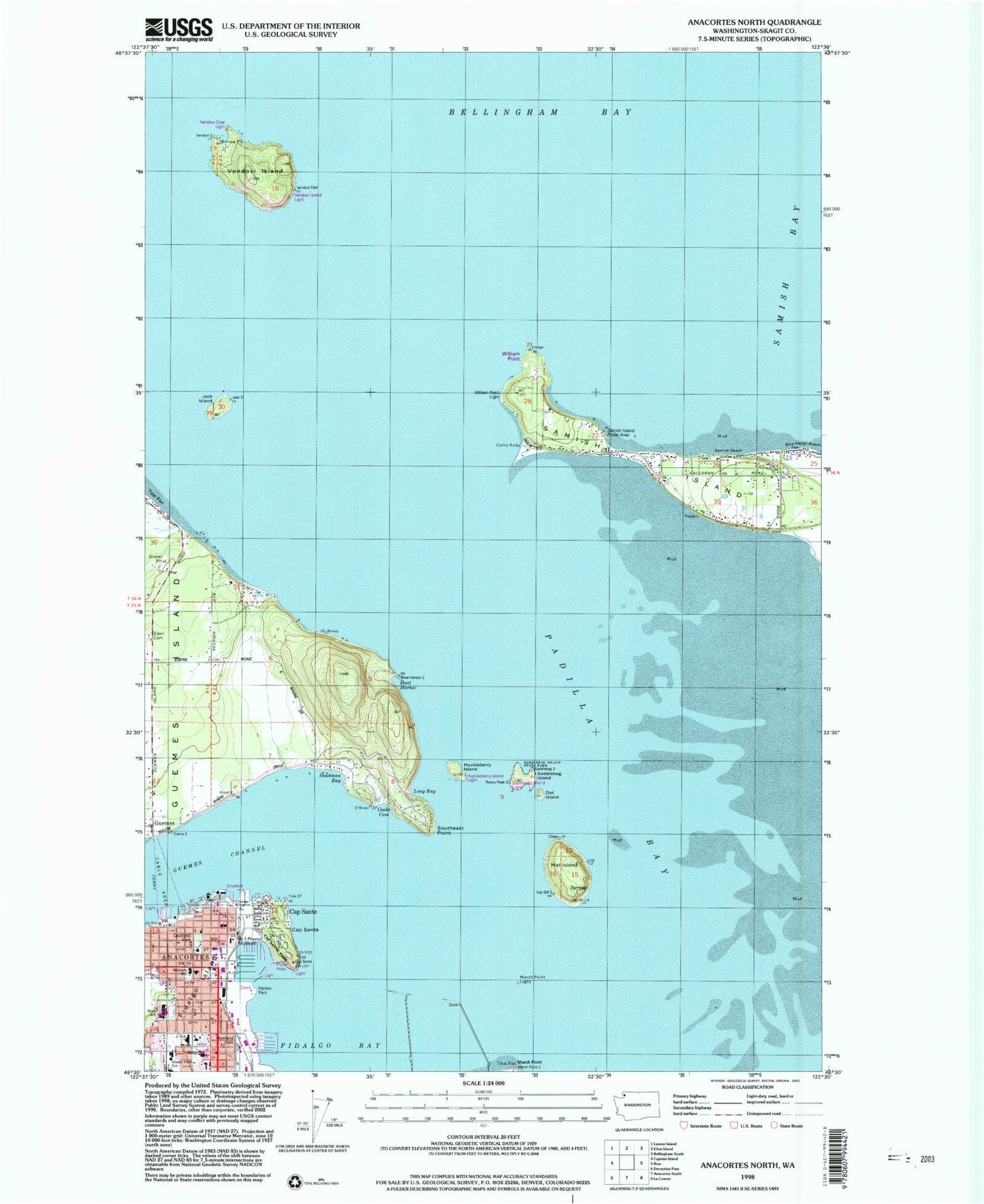
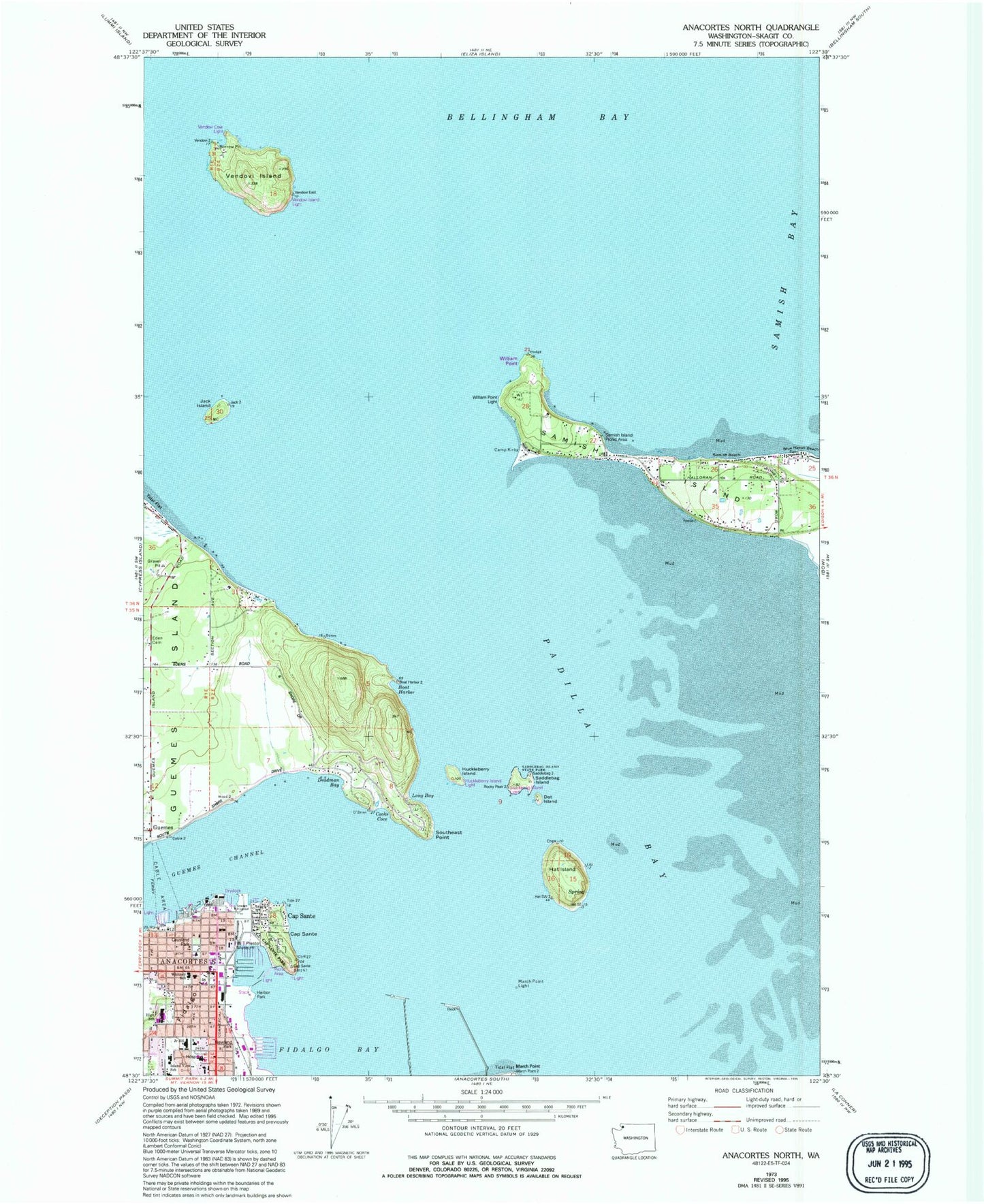
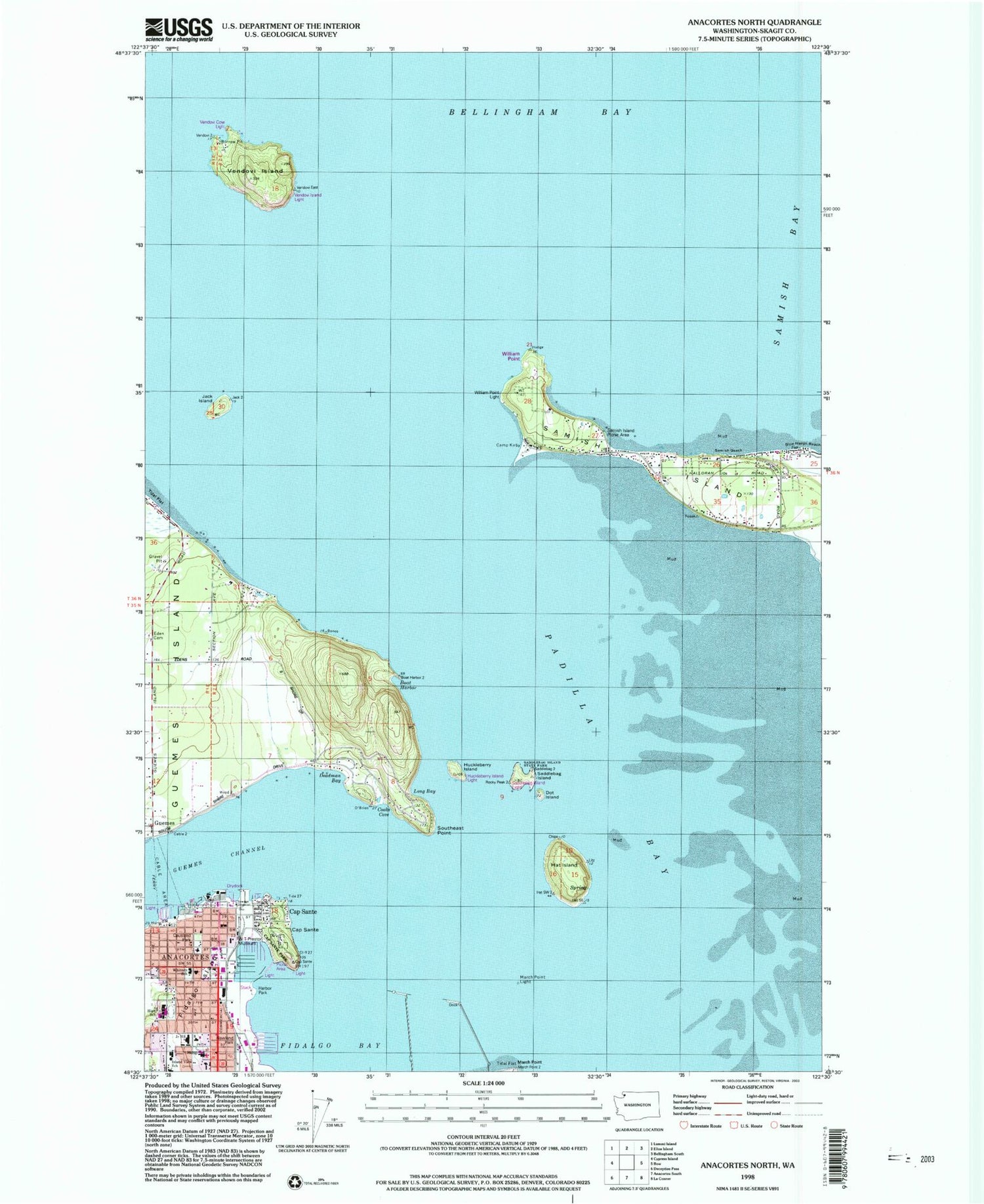
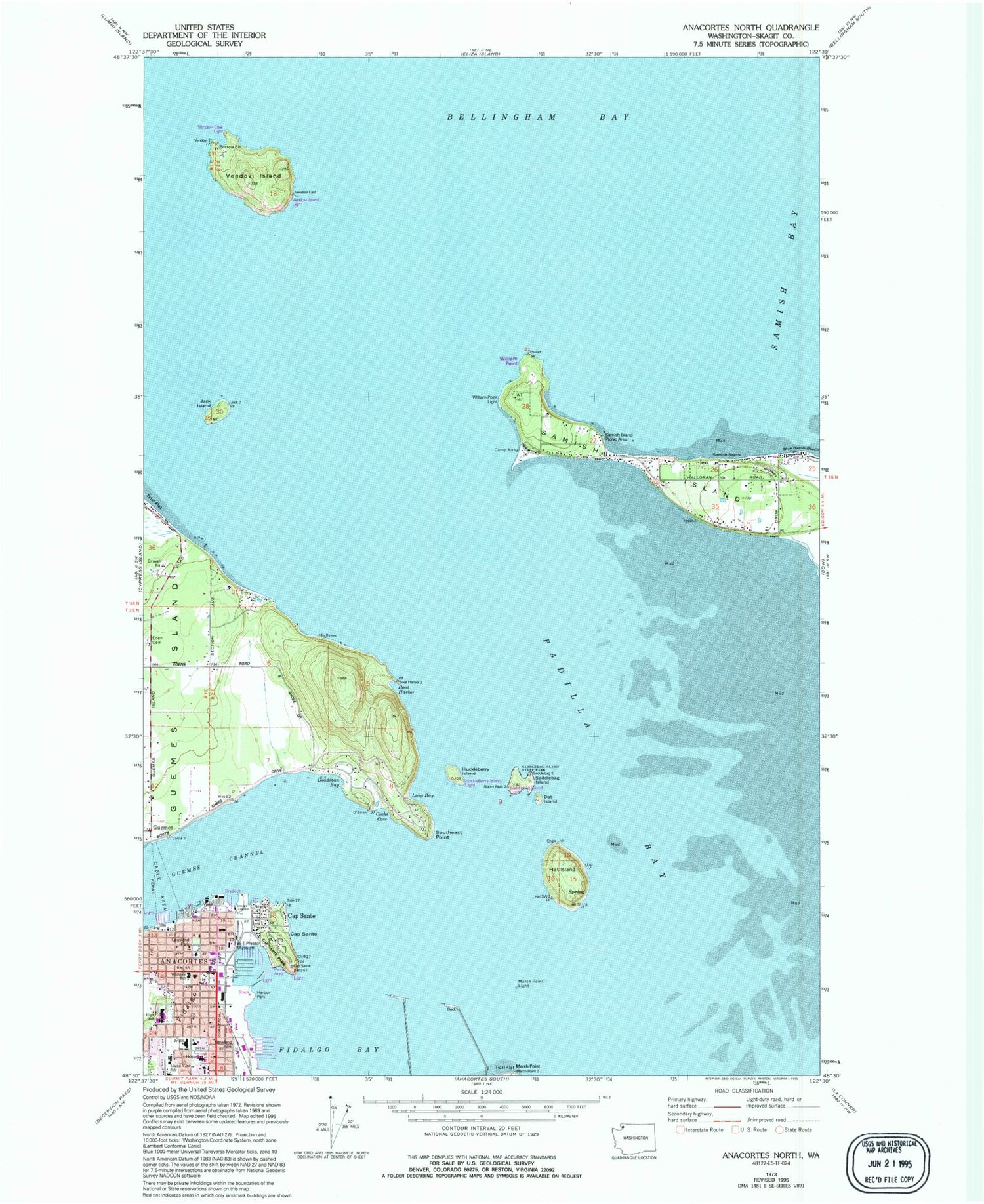
Classic USGS Anacortes North Washington 7.5'x7.5' Topo Map
Couldn't load pickup availability
Historical USGS topographic quad map of Anacortes North in the state of Washington. Map scale may vary for some years, but is generally around 1:24,000. Print size is approximately 24" x 27"
This quadrangle is in the following counties: Skagit.
The map contains contour lines, roads, rivers, towns, and lakes. Printed on high-quality waterproof paper with UV fade-resistant inks, and shipped rolled.
Contains the following named places: Anacortes, Anacortes Christian Church, Anacortes Christian Reformed Church, Anacortes City Hall, Anacortes Ferry Landing, Anacortes Fire Department, Anacortes High School, Anacortes History Museum, Anacortes Lutheran Church, Anacortes Marina, Anacortes Middle School, Anacortes Police Department, Anacortes Post Office, Anacortes Public Library, Anacortes School District Office, Anacortes Wastewater Treatment Plant, Anacortes Yacht Club, Anchor Cove Marina, Atlanta, Blue Heron Beach, Boat Harbor, Camp Kirby, Cap Sante, Cap Sante Marine, Cap Sante Park, Cap Sante Waterway, Casperson Point, Causland Park, Chandler's Square Retirement Community, Christ Episcopal Church, Cooks Cove, Deadman Bay, Dot Island, Fidalgo Care Center, Fidalgo Pool, Fidalgo Yacht Club, Guemes, Guemes Island Community Church, Guemes Island Ferry Landing, Hat Island, Huckleberry Island, Island Hospital, Island Hospital Emergency Services, Island View Elementary School, Jack Island, Levant Passage, Long Bay, March Point Light, Padilla Bay, Penguin Harbor, Port of Anacortes, Port of Anacortes Marina, Rosario Assisted Living Facility, Saddlebag Island, Saddlebag Island State Park, Samish Beach, Samish Island, San Juan Rehabilitation and Care Center, Secret Harbor School, Skagit County Fire District 5 Samish Island, The Fidalgo Center, The Island Hospital Heliport, Thriftmart Shopping Center, United Methodist Church of Anacortes, Vendovi Island, W T Preston Snagboat Heritage Center, Westminster Presbyterian Church, Whitney Elementary School, William Point


