MyTopo
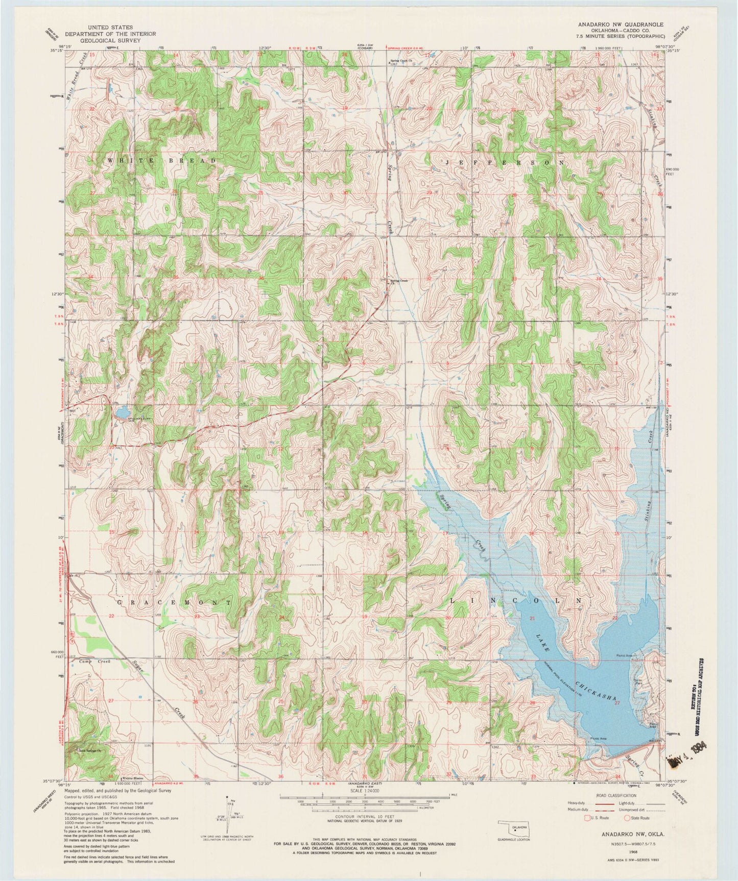
Classic USGS Anadarko NW Oklahoma 7.5'x7.5' Topo Map
Couldn't load pickup availability
Historical USGS topographic quad map of Anadarko NW in the state of Oklahoma. Map scale may vary for some years, but is generally around 1:24,000. Print size is approximately 24" x 27"
This quadrangle is in the following counties: Caddo.
The map contains contour lines, roads, rivers, towns, and lakes. Printed on high-quality waterproof paper with UV fade-resistant inks, and shipped rolled.
Contains the following named places: Anadarko Division, Camp Creek, Lake Chickasha, Lake Chickasha Dam, Oknoname 015017 Dam, Oknoname 015017 Reservoir, Rock Springs Cemetery, Rock Springs Church, Spring Creek Church, Stinking Creek, Sugar Creek Site 33 Dam, Sugar Creek Site 33 Reservoir, Sugar Creek Site 36 Dam, Sugar Creek Site 36 Reservoir, Sugar Creek Site 40 Dam, Sugar Creek Site 40 Reservoir, Township of Jefferson, Township of Lincoln, Wichita Mission, ZIP Code: 73042