MyTopo
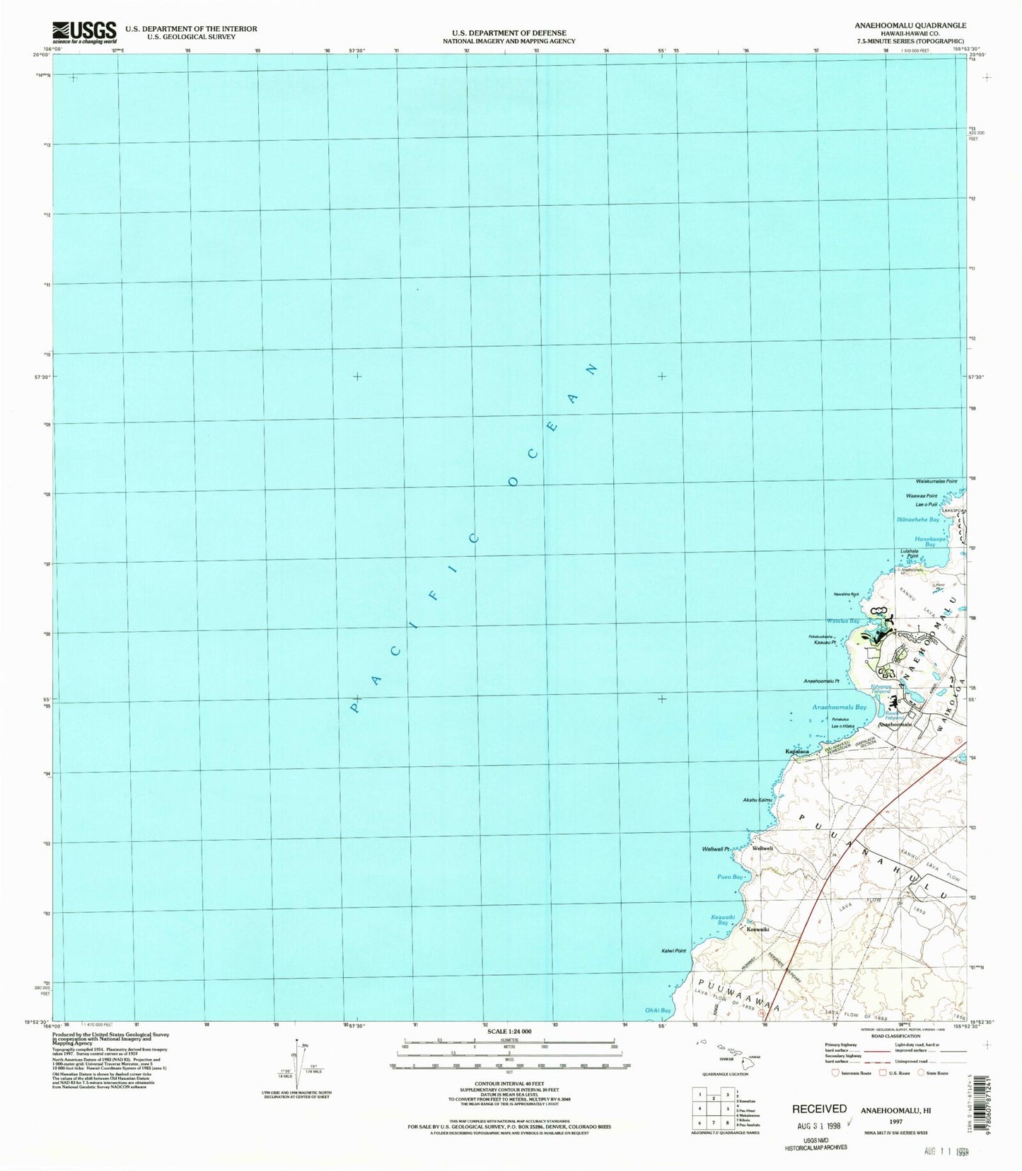
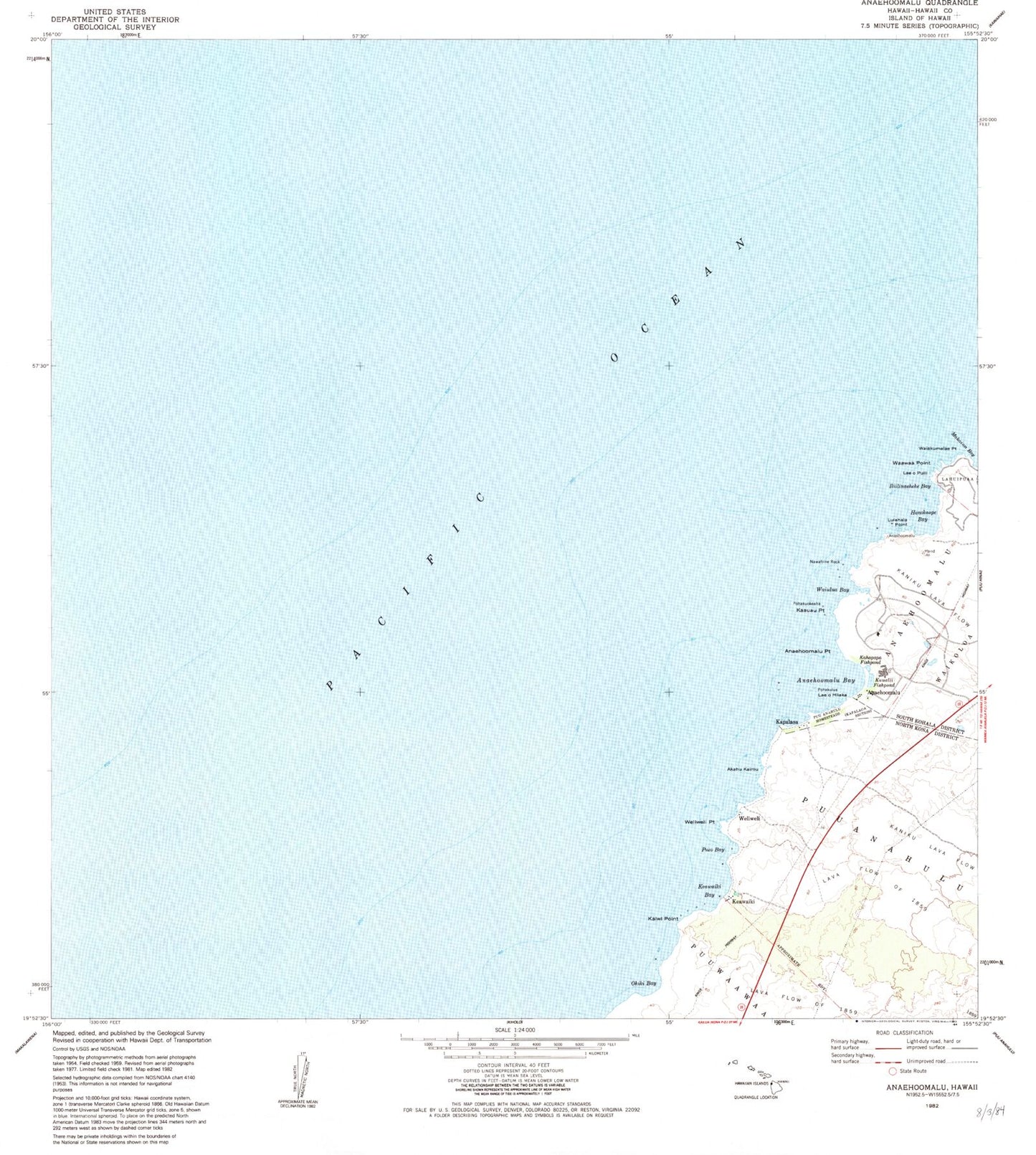
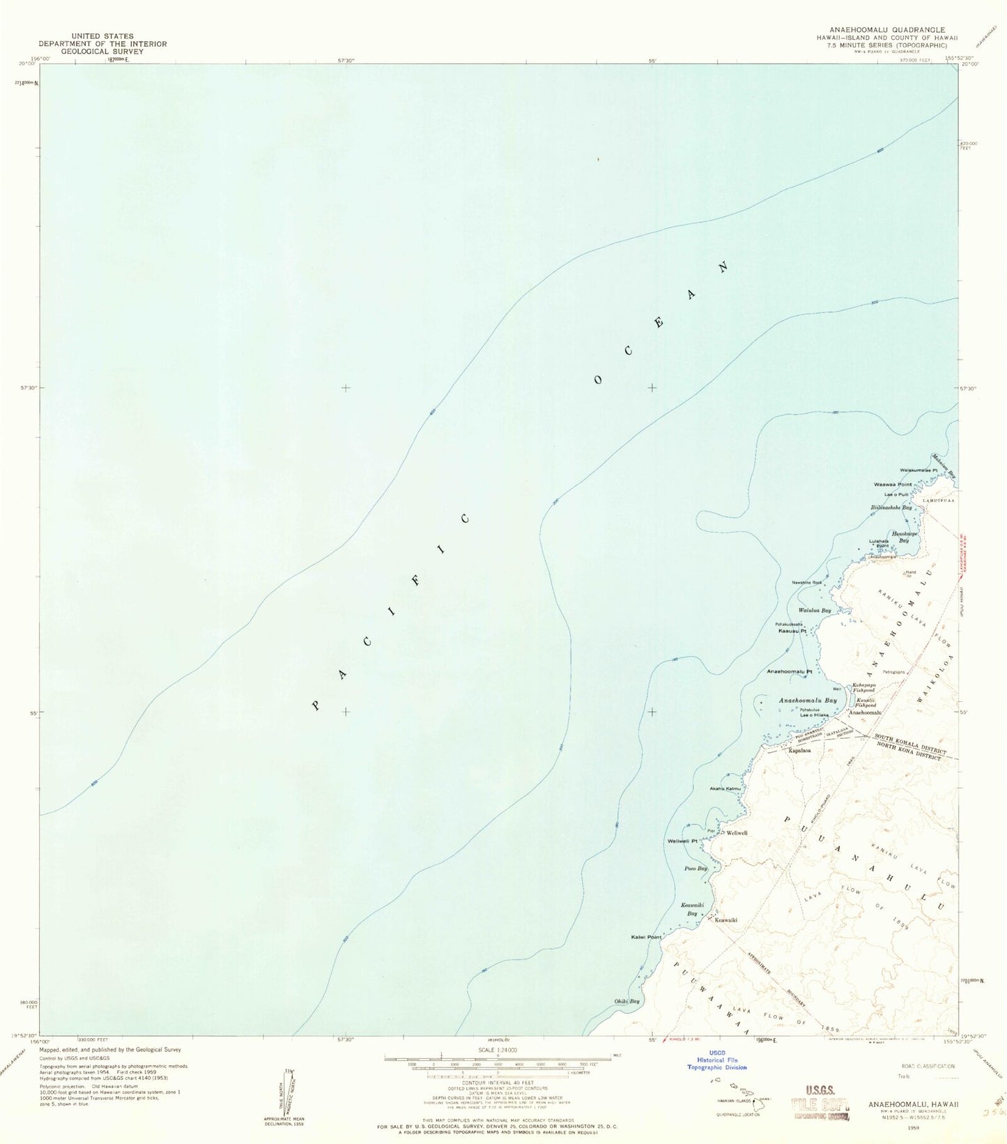
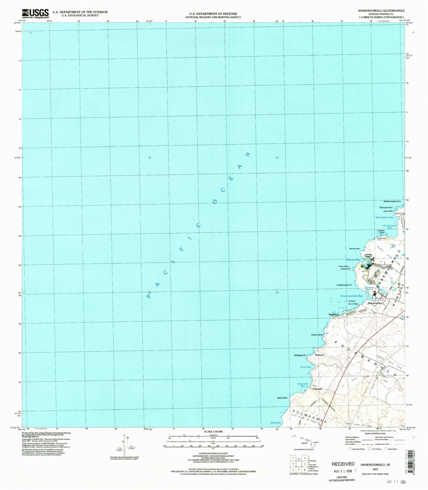
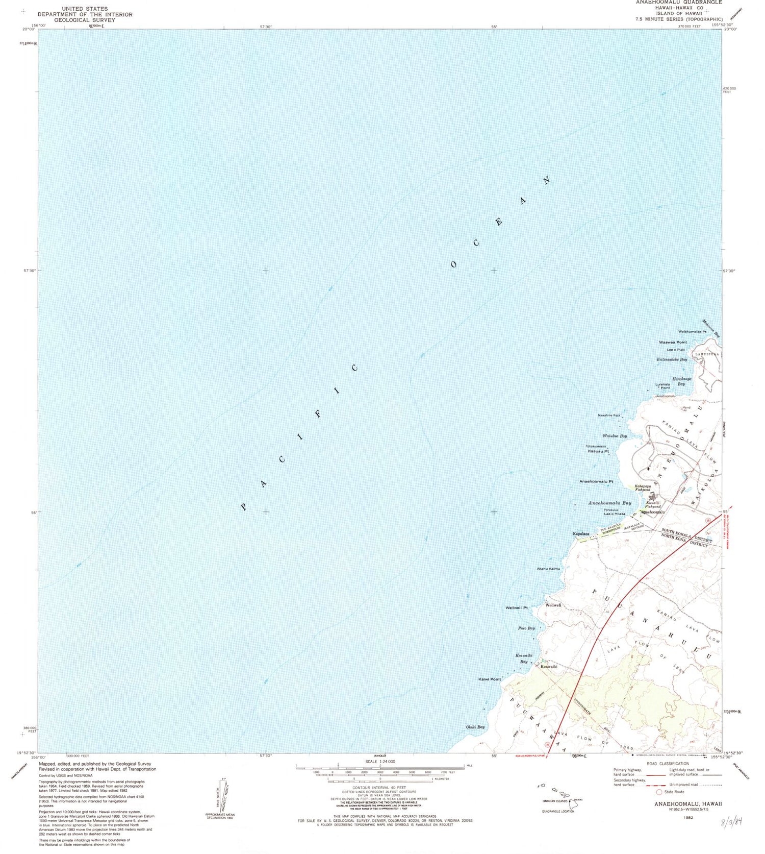
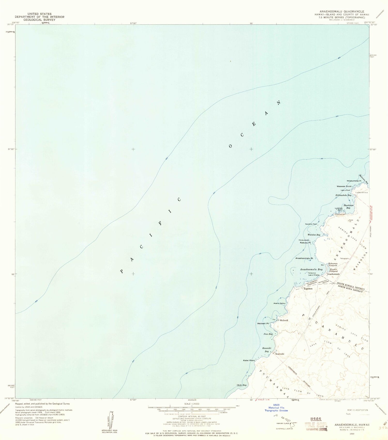
Classic USGS Anaehoomalu Hawaii 7.5'x7.5' Topo Map
Couldn't load pickup availability
Historical USGS topographic quad map of Anaehoomalu in the state of Hawaii. Map scale may vary for some years, but is generally around 1:24,000. Print size is approximately 24" x 27"
This quadrangle is in the following counties: Hawaii.
The map contains contour lines, roads, rivers, towns, and lakes. Printed on high-quality waterproof paper with UV fade-resistant inks, and shipped rolled.
Contains the following named places: Akahu Kaimu, 'Anaeho'omalu, 'Anaeho'omalu Bay, 'Anaeho'omalu Point, Honoka'ope Bay, Iliilinaehehe Bay, Kaauau Point, Kahapapa Fishpond, Kaiwi Point, Kapalaoa, Keawaiki, Keawaiki Bay, Kiholo-Puako Trail, Ku'uali'i Fishpond, Laeohi'iaka, Laeopuili, Lulahala Point, Nawahine Rock, 'Ohiki Bay, Pohakulua, Pohakuokeaha, Pueo Bay, Pu'uanahulu Homesteads, Waawaa Point, Waikoloa Beach Resort, Waikoloa Beach Resort Census Designated Place, Waiulua Bay, Weliweli, Weliweli Point
