MyTopo
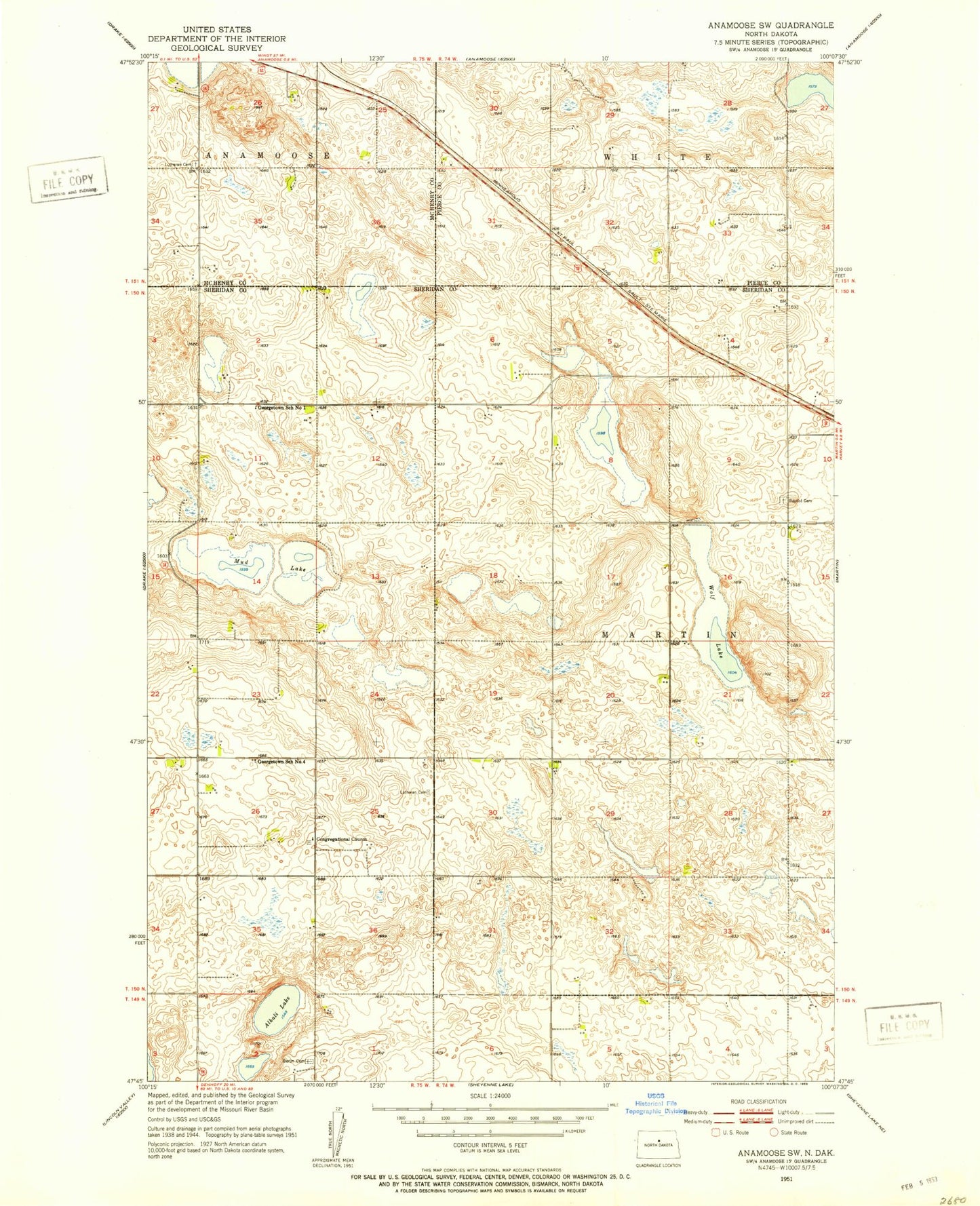
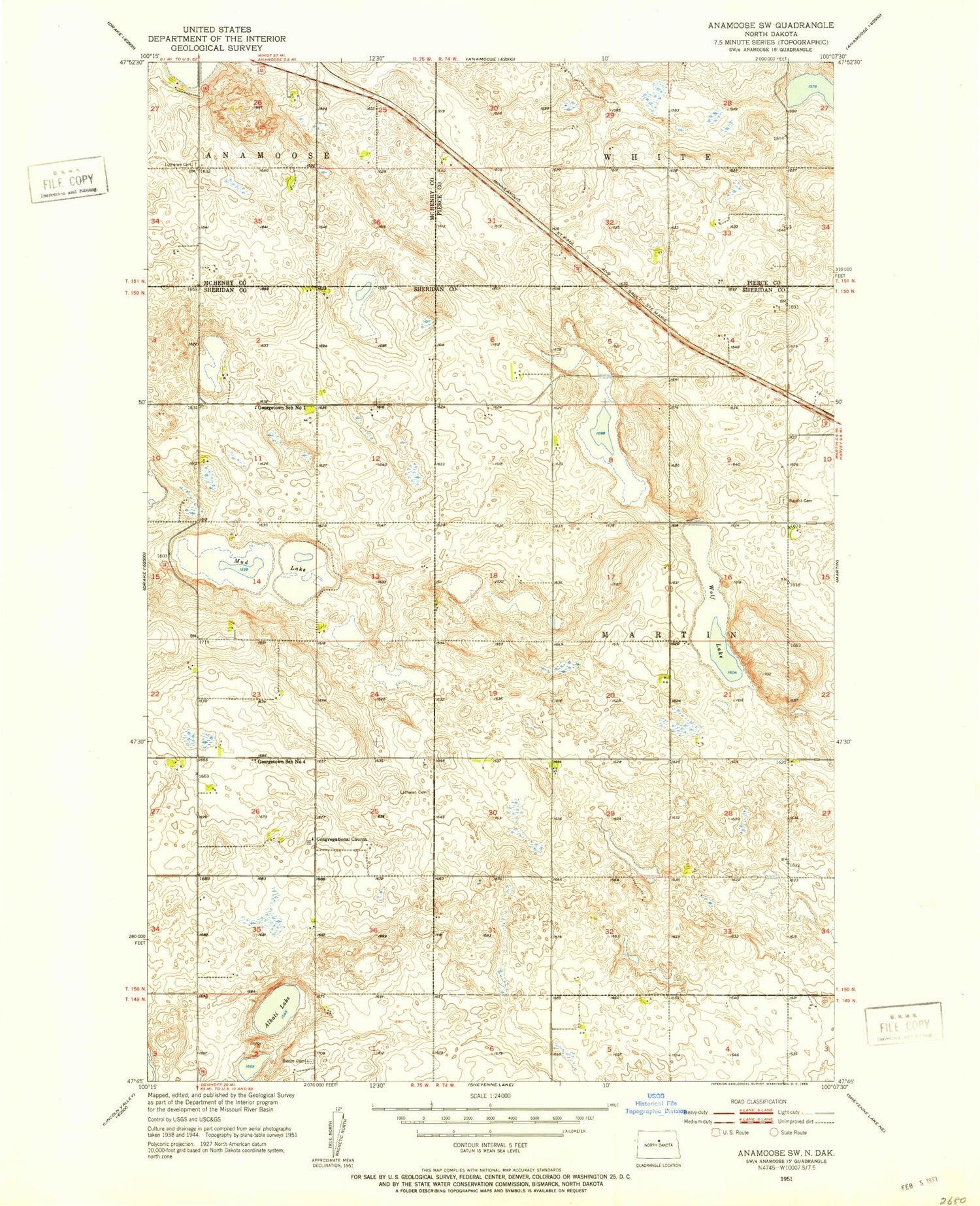
Classic USGS Anamoose SW North Dakota 7.5'x7.5' Topo Map
Couldn't load pickup availability
Historical USGS topographic quad map of Anamoose SW in the state of North Dakota. Map scale may vary for some years, but is generally around 1:24,000. Print size is approximately 24" x 27"
This quadrangle is in the following counties: McHenry, Pierce, Sheridan.
The map contains contour lines, roads, rivers, towns, and lakes. Printed on high-quality waterproof paper with UV fade-resistant inks, and shipped rolled.
Contains the following named places: Alkali Lake, Berlin Cemetery, Ebenezer Congregational Church Cemetery, Georgetown School Number 1, Georgetown School Number 4, Martin Baptist Cemetery, Mud Lake, Rudnick Pond, Saint Martin Lutheran Cemetery, Steele Lake, Township of Martin, Wolf Lake, ZIP Code: 58710