MyTopo
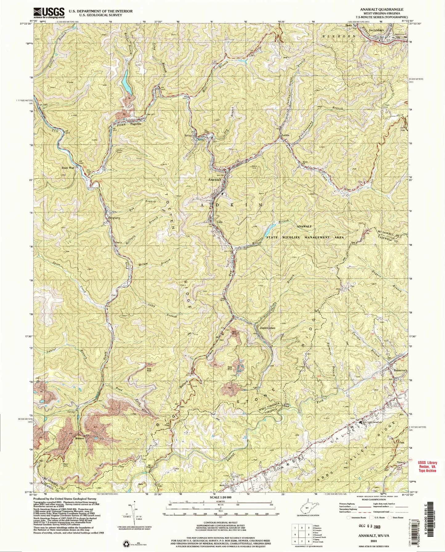
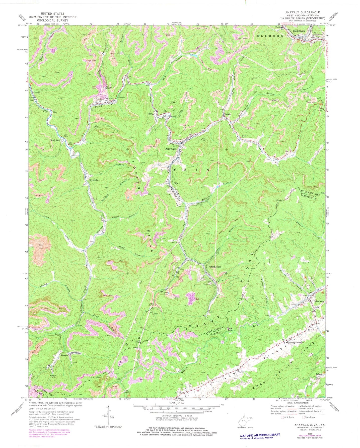
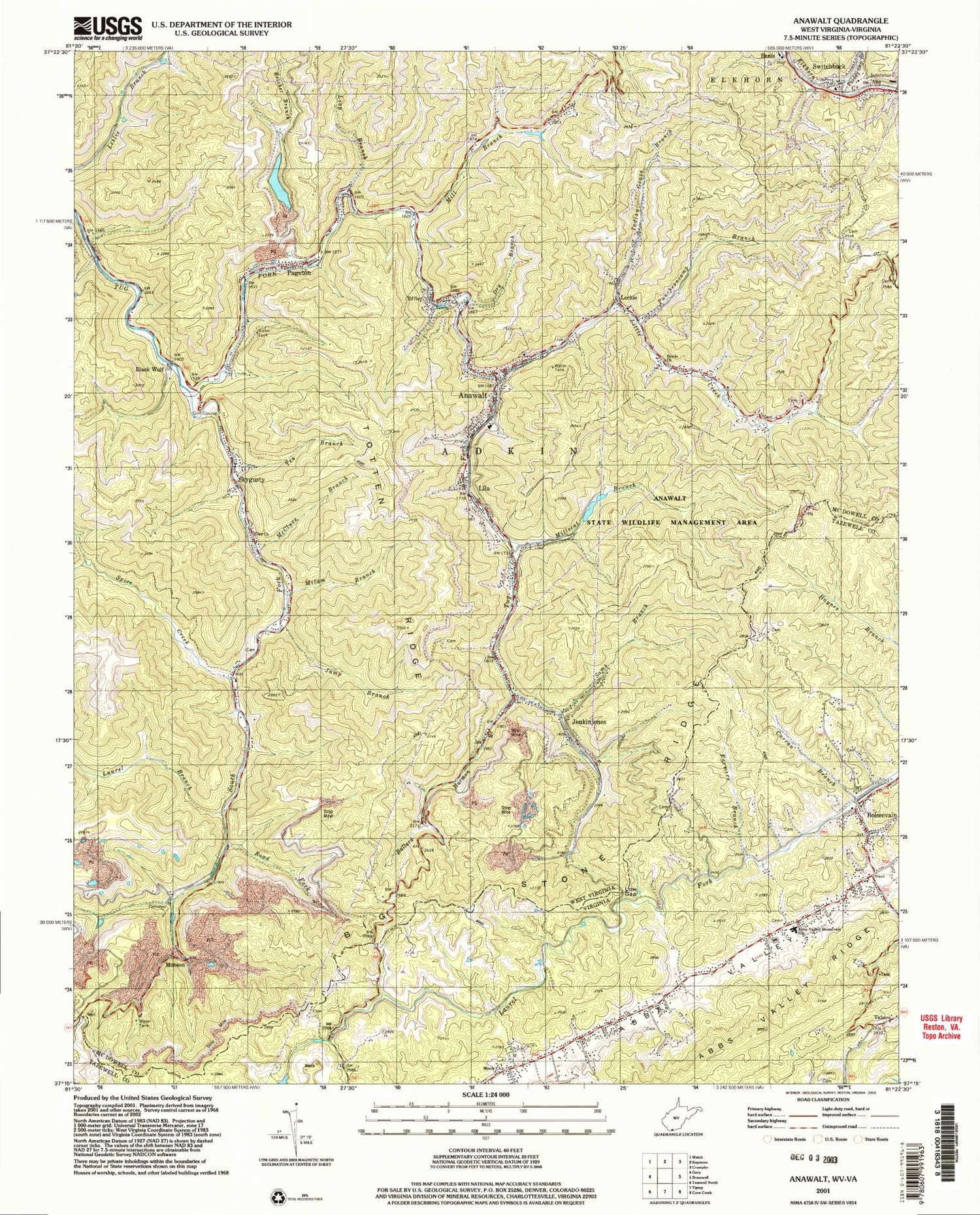
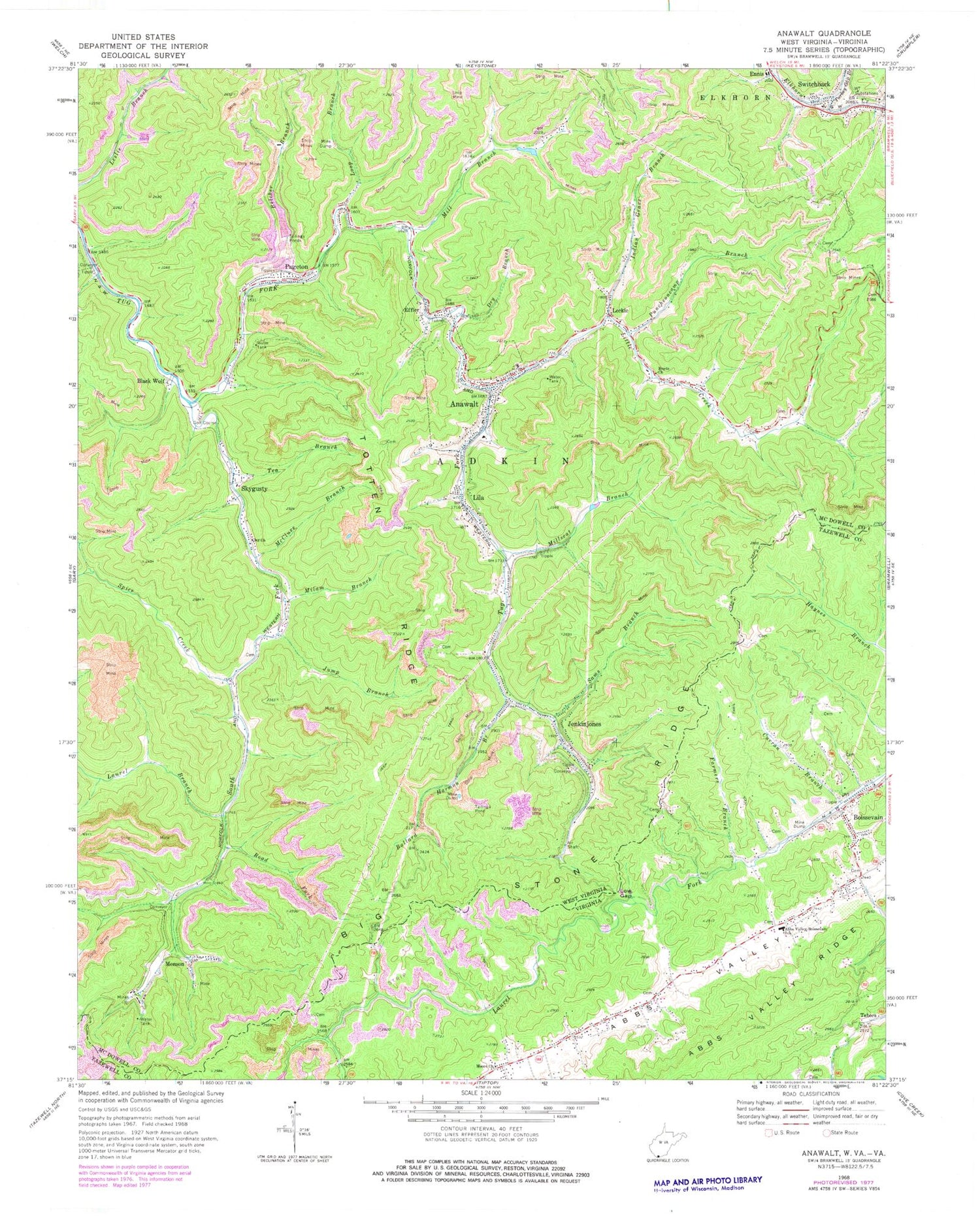
Classic USGS Anawalt West Virginia 7.5'x7.5' Topo Map
Couldn't load pickup availability
Historical USGS topographic quad map of Anawalt in the states of West Virginia, Virginia. Map scale may vary for some years, but is generally around 1:24,000. Print size is approximately 24" x 27"
This quadrangle is in the following counties: McDowell, Tazewell.
The map contains contour lines, roads, rivers, towns, and lakes. Printed on high-quality waterproof paper with UV fade-resistant inks, and shipped rolled.
Contains the following named places: Abbs Valley - Boissevain Elementary School, Abbs Valley - Boissevain Volunteer Fire Department, Abbs Valley Ridge, Anawalt, Anawalt Elementary School, Anawalt Lake Dam, Anawalt Lake Wildlife Management Area, Anawalt Police Department, Anawalt Post Office, Anawalt Volunteer Fire Department, Ballard Harmon Branch, Belcher Branch, Belcher Branch Coal Refuse Disposal Dam, Big Stone Ridge, Black Wolf, Black Wolf Links Golf Course, Boissevain, Boissevain Census Designated Place, Boissevain Post Office, Boyds Church, Brush Creek Structure Number 12 Dam, Clay Church, Curran Branch, Dry Branch, Effler, Epperson Cemetery, Farmers Branch, Indian Grave Branch, Jenkinjones, Jenkinjones Impoundment, Jenkinjones Post Office, Jump Branch, Laurel Branch, Leckie, Leckie Post Office, Lila, Little Creek, Little Creek School, Loop Branch, Low Gap, McClure Branch, Milam Branch, Mill Branch, Mill Branch - Pageton Dam, Millseat Branch, Monson, Moore Church, North Elkin District, Pageton, Pageton Census Designated Place, Pageton Post Office, Pageton Refuse Impoundment, Puncheoncamp Branch, Road Fork, Sams Branch, Shady Grove School, Skygusty, Skygusty Post Office, South Fork Tug Fork, Spice Creek, Switchback, Switchback Elementary School, Switchback Post Office, Tabors, Tea Branch, Totten Ridge, Town of Anawalt, Tug Fork Impoundment Dam, Turkey Gap Branch, Wexler-Tabor School, ZIP Codes: 24606, 24808, 24848, 24871, 24887


