MyTopo
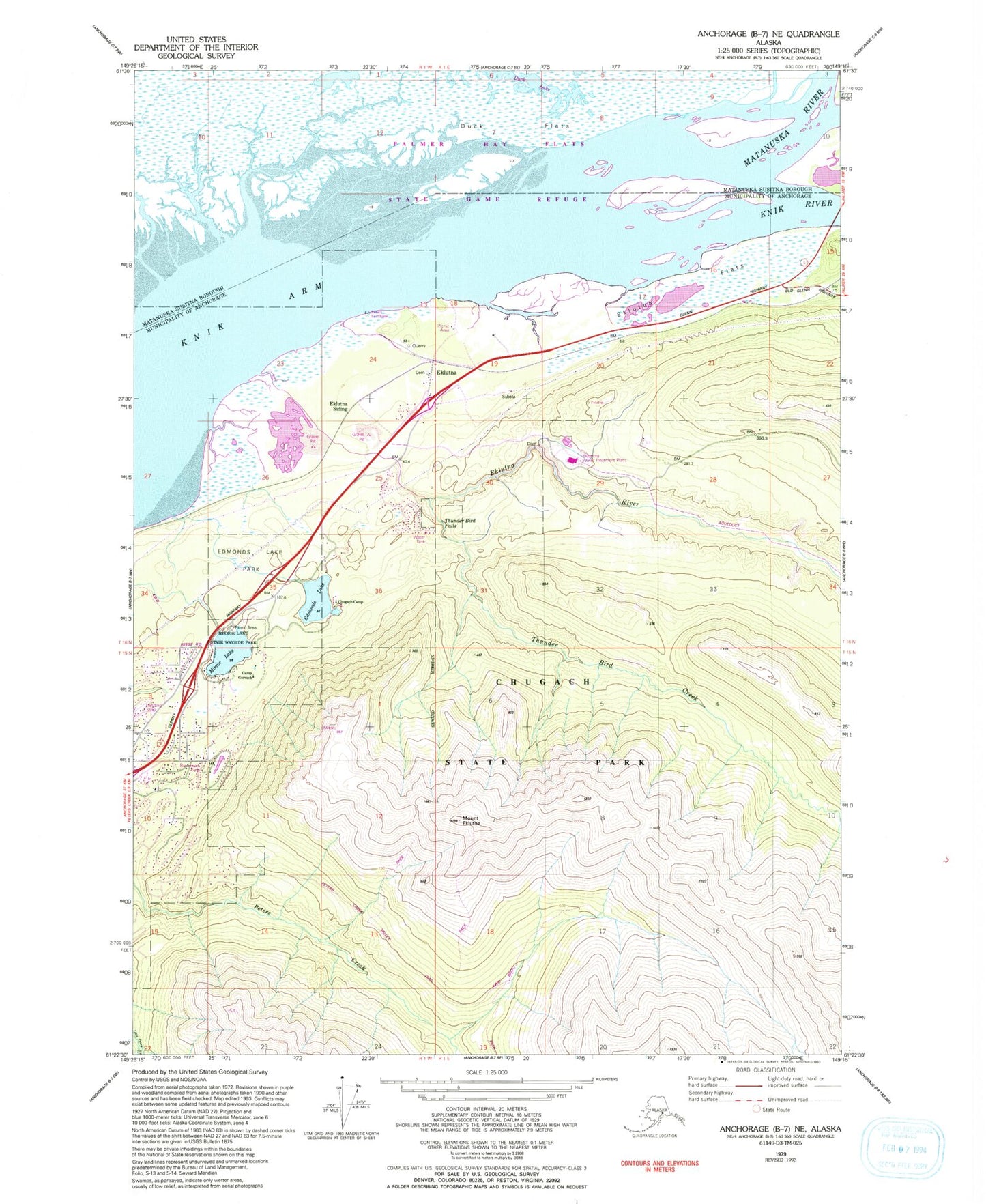
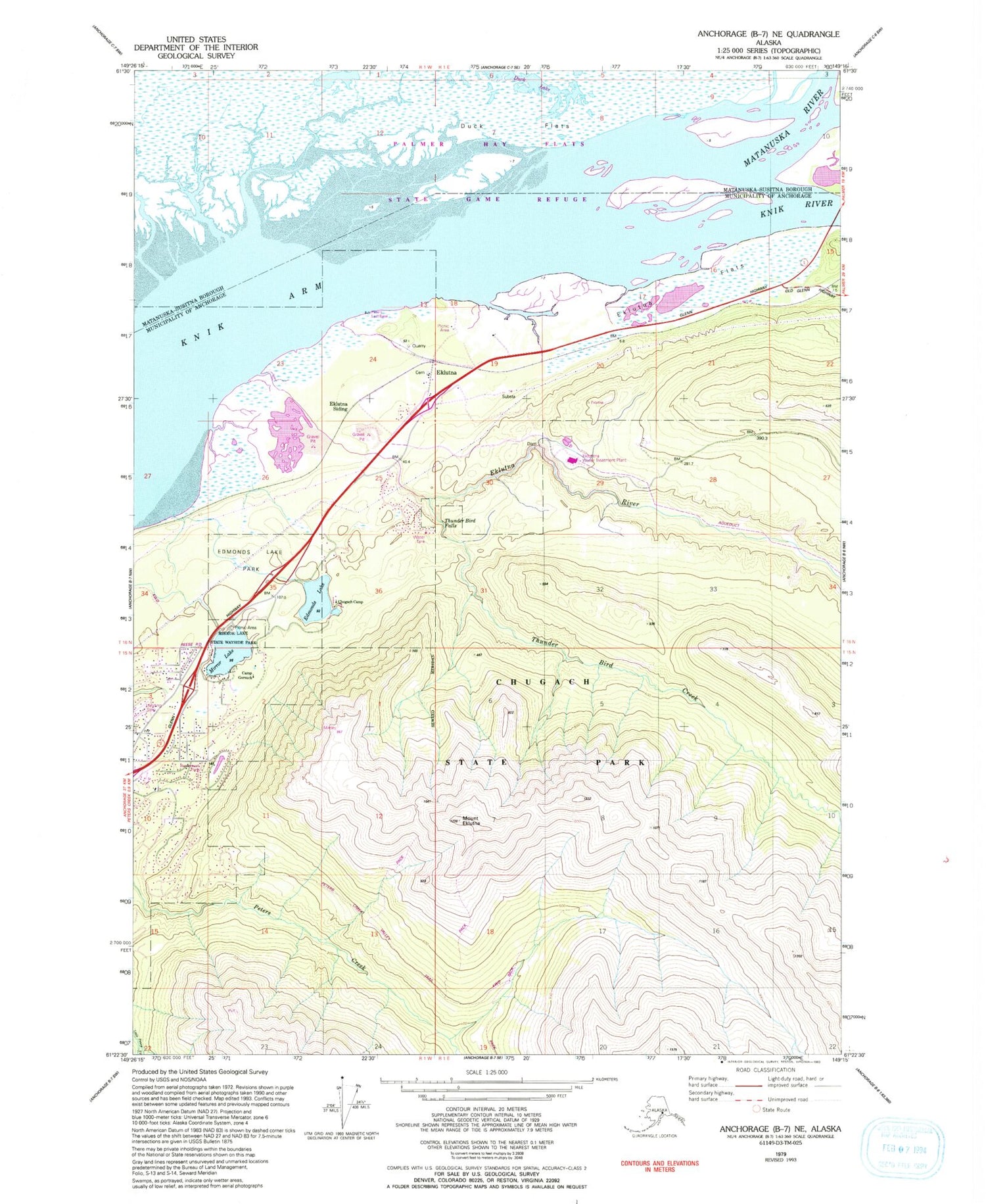
Classic USGS Anchorage B-7 NE Alaska 7.5'x7.5' Topo Map
Couldn't load pickup availability
Historical USGS topographic quad map of Anchorage B-7 NE in the state of Alaska. Map scale may vary for some years, but is generally around 1:24,000. Print size is approximately 24" x 27"
This quadrangle is in the following counties: Anchorage, Matanuska-Susitna.
The map contains contour lines, roads, rivers, towns, and lakes. Printed on high-quality waterproof paper with UV fade-resistant inks, and shipped rolled.
Contains the following named places: Camp Gorsuch, Ch'atan Kaq', Chugach Camp, Chugiak Volunteer Fire Department Station 33, Edmonds Lake, Edmonds Lake Park, Eklutna, Eklutna Alaska Native Village Statistical Area, Eklutna Flats, Eklutna Indian Reservation, Eklutna River, Eklutna Siding, Knik River, Lower Eklutna Dam, Matanuska River, Matanuska Valley, Mirror Lake, Mirror Lake State Wayside Park, Mount Eklutna, Reflections Lake, Saint Nicholas Orthodox Church Cemetery, Southcentral Foundation Eklutna Village Clinic, Thunder Bird Creek, Thunder Bird Falls, Thunder Bird Falls Campground


