
MyTopo
Classic USGS Anchorage B-8 NE Alaska 7.5'x7.5' Topo Map
Couldn't load pickup availability
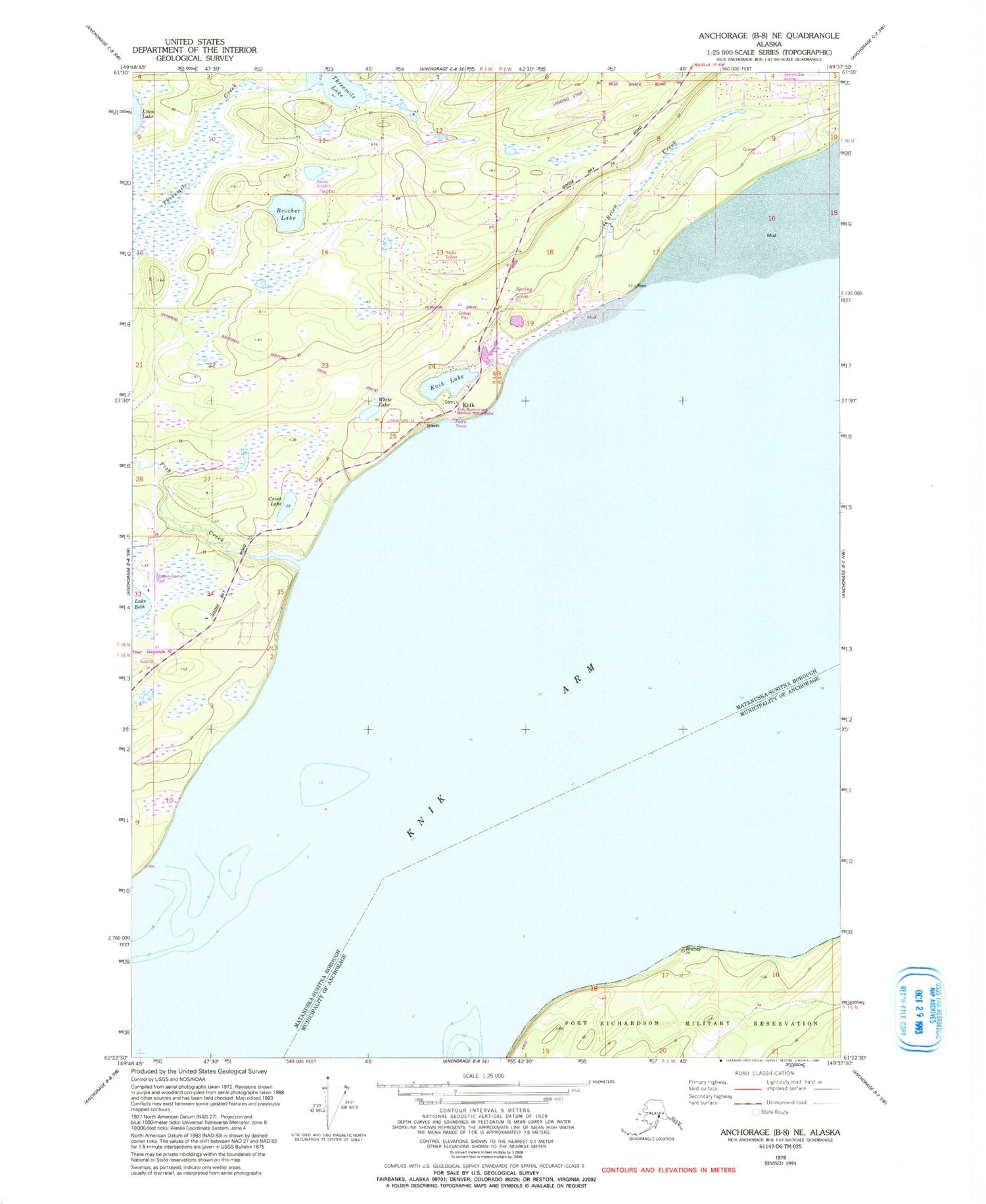
Historical USGS topographic quad map of Anchorage B-8 NE in the state of Alaska. Map scale may vary for some years, but is generally around 1:24,000. Print size is approximately 24" x 27"
This quadrangle is in the following counties: Anchorage, Matanuska-Susitna.
The map contains contour lines, roads, rivers, towns, and lakes. Printed on high-quality waterproof paper with UV fade-resistant inks, and shipped rolled.
Contains the following named places: Birchwater Airport, Brocker Lake, Brocker Lake Seaplane Base, Caves Lake, Central Matanuska - Susitna Fire Department Station 63, Ch'ak'nileght, Ch'ak'nileghtnu, Fish Creek, Grand Home Airport, Huttunen Strip, Iditarod Trail, KCFA-AM (Eagle River), K'enakatnu Kaq', K'eyghashtnu, Knik, Knik Lake, K'qiydulghakt, Lawrence Airstrip, O'Brien Creek, Soldier Creek, Threemile Lake, White Lake


