MyTopo
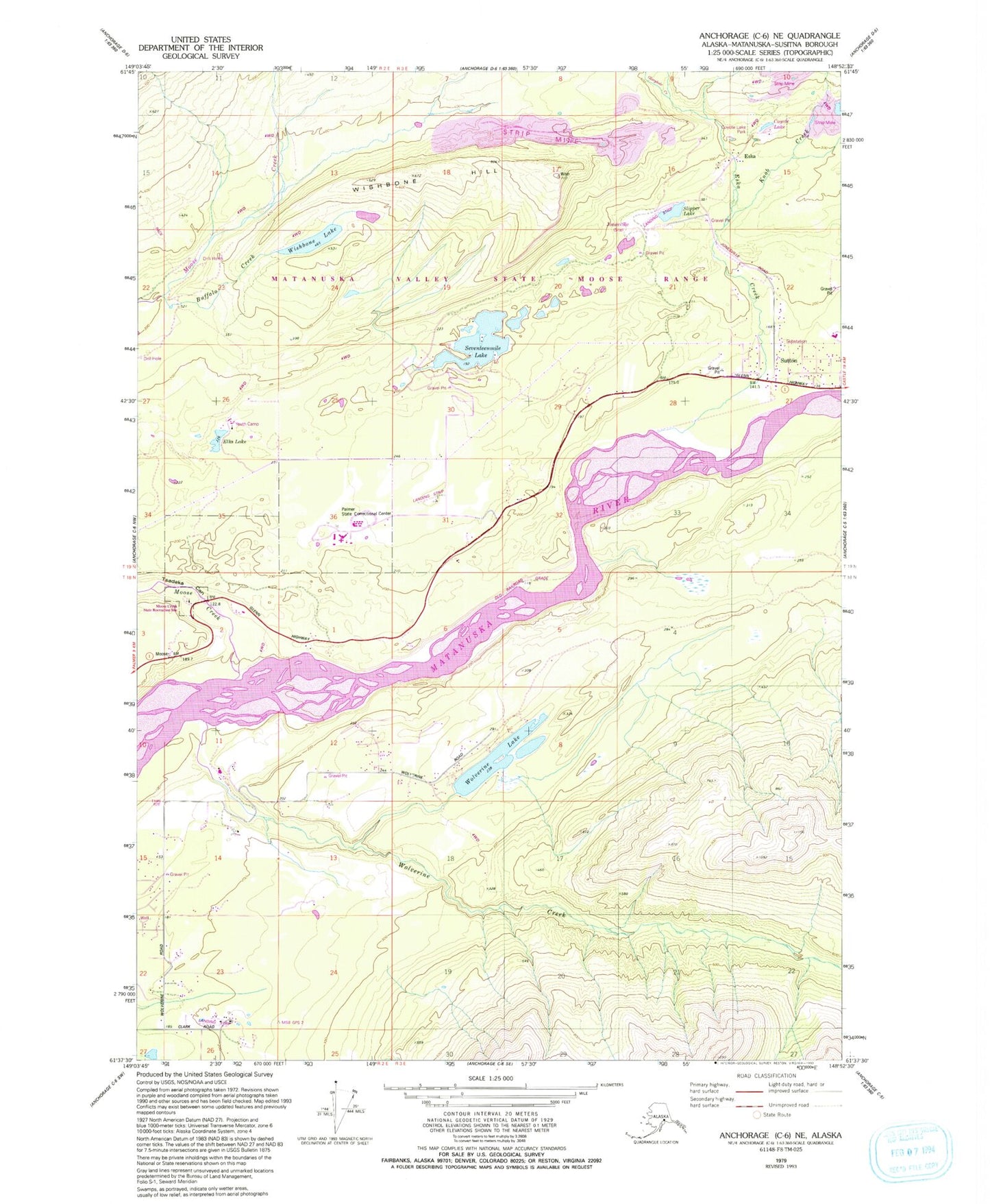
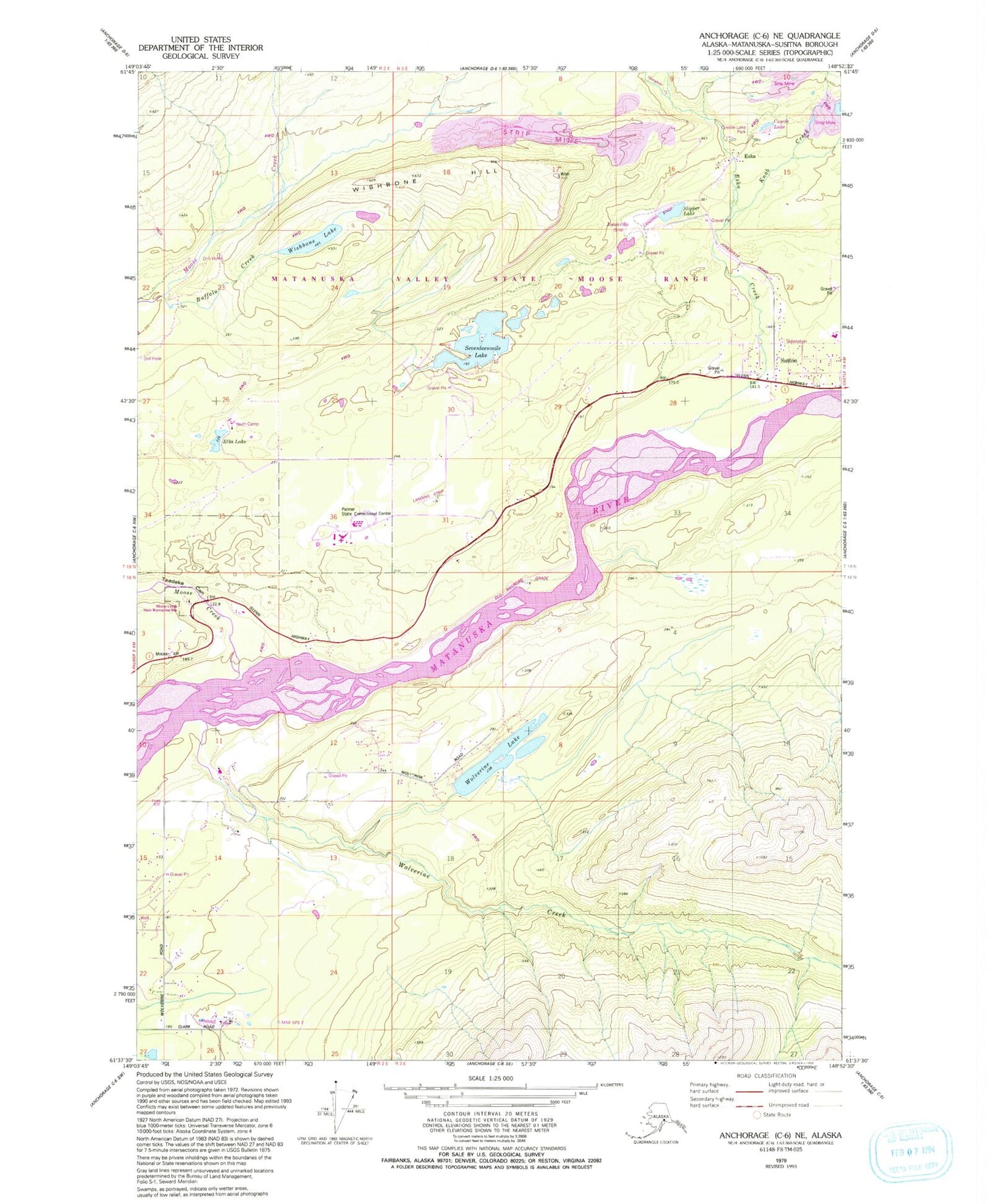
Classic USGS Anchorage C-6 NE Alaska 7.5'x7.5' Topo Map
Couldn't load pickup availability
Historical USGS topographic quad map of Anchorage C-6 NE in the state of Alaska. Typical map scale is 1:24,000, but may vary for certain years, if available. Print size: 24" x 27"
This quadrangle is in the following counties: Matanuska-Susitna.
The map contains contour lines, roads, rivers, towns, and lakes. Printed on high-quality waterproof paper with UV fade-resistant inks, and shipped rolled.
Contains the following named places: Buffalo Mine, Eska, Eska Mine, Evan Jones Mine, Gloryhole Creek, Jonesville, Moose Creek, Moose Creek, New Black Diamond Mine, Seventeenmile Lake, Slipper Lake, Sutton, Tsadaka Canyon, Wishbone Hill, Wishbone Lake, Wolverine Creek, Wolverine Lake, Eska Creek, Knob Creek, Kleinsmith Lake, Moose Creek Campground, Palmer Correctional Center, Elks Lake, Elks Campground, Matanuska Sinner Mine, Jonesville Mine Airport (historical), Lazy Mountain, Lazy Mountain Census Designated Place, Sutton Volunteer Fire Department, Palmer Fire Department Station 33, Coyote Lake, Coyote Lake Park, Moose Creek State Recreation Area, Abi Airport, Vinduska Airport, Martin Airport, Crag Mountain Airport, Sutton Ambulance Service, Sutton Post Office


