MyTopo
Classic USGS Anchorage C-6 NW Alaska 7.5'x7.5' Topo Map
Couldn't load pickup availability
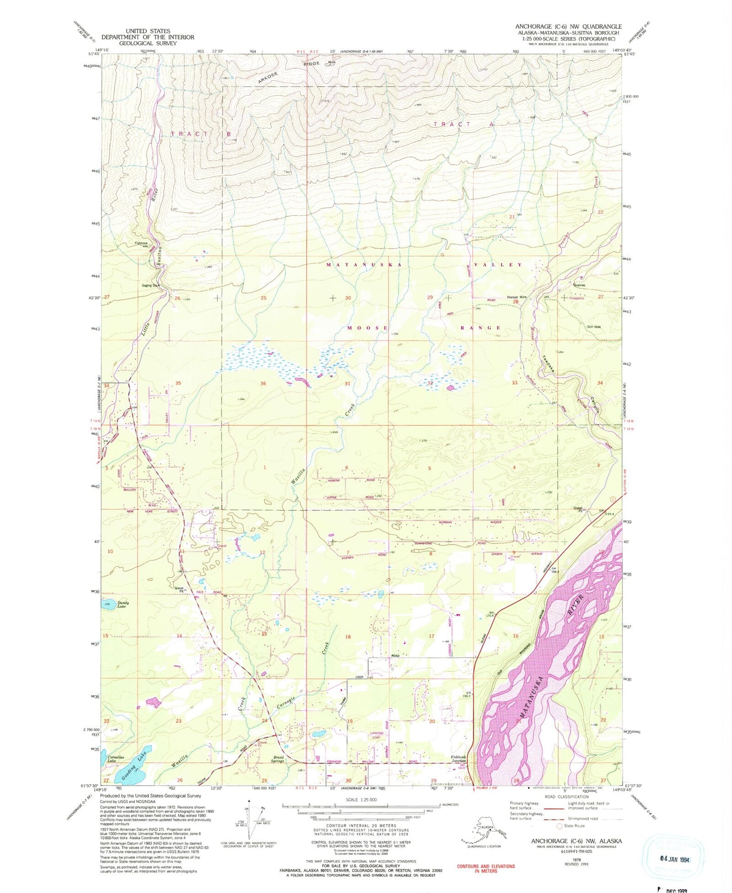
Historical USGS topographic quad map of Anchorage C-6 NW in the state of Alaska. Map scale may vary for some years, but is generally around 1:24,000. Print size is approximately 24" x 27"
This quadrangle is in the following counties: Matanuska-Susitna.
The map contains contour lines, roads, rivers, towns, and lakes. Printed on high-quality waterproof paper with UV fade-resistant inks, and shipped rolled.
Contains the following named places: Baxter Mine, Brasil Springs, Buffalo Creek, Buffalo Soapstone Census Designated Place, Carnegie Creek, Dandy Lake, Farm Loop Census Designated Place, Gooding Lake, Gooding Lake Seaplane Base, Palmer Fire Department Station 32, Palmer Fire Department Station 35, Premier Creek, Premier Mine, Stormy Hill Seaplane Base, Wasilla Creek Airpark