MyTopo
Classic USGS Anchorage C-6 SE Alaska 7.5'x7.5' Topo Map
Couldn't load pickup availability
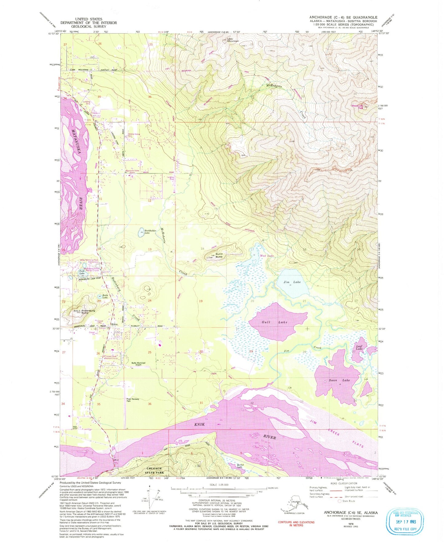
Historical USGS topographic quad map of Anchorage C-6 SE in the state of Alaska. Typical map scale is 1:24,000, but may vary for certain years, if available. Print size: 24" x 27"
This quadrangle is in the following counties: Matanuska-Susitna.
The map contains contour lines, roads, rivers, towns, and lakes. Printed on high-quality waterproof paper with UV fade-resistant inks, and shipped rolled.
Contains the following named places: Bodenburg Butte, Falks Lake, Jim Creek, Jim Lake, Lazy Mountain, Swan Lake, Matanuska Peak, Bodenburg Creek, Gull Lake, Leaf Lake, Polar Raceway Park, Barbel Lake, Butte, Butte Lake, Valley Memory Garden, Burkholder Lake, Burnt Butte, McRoberts Creek, Sherwood Estates Dam, Butte Municipal Airport, Palmer Creek, Butte Census Designated Place, Butte Fire and Emergency Services - Station 21, Eagle Nest Airport, Maud Road Strip, Butte Ambulance Service