MyTopo
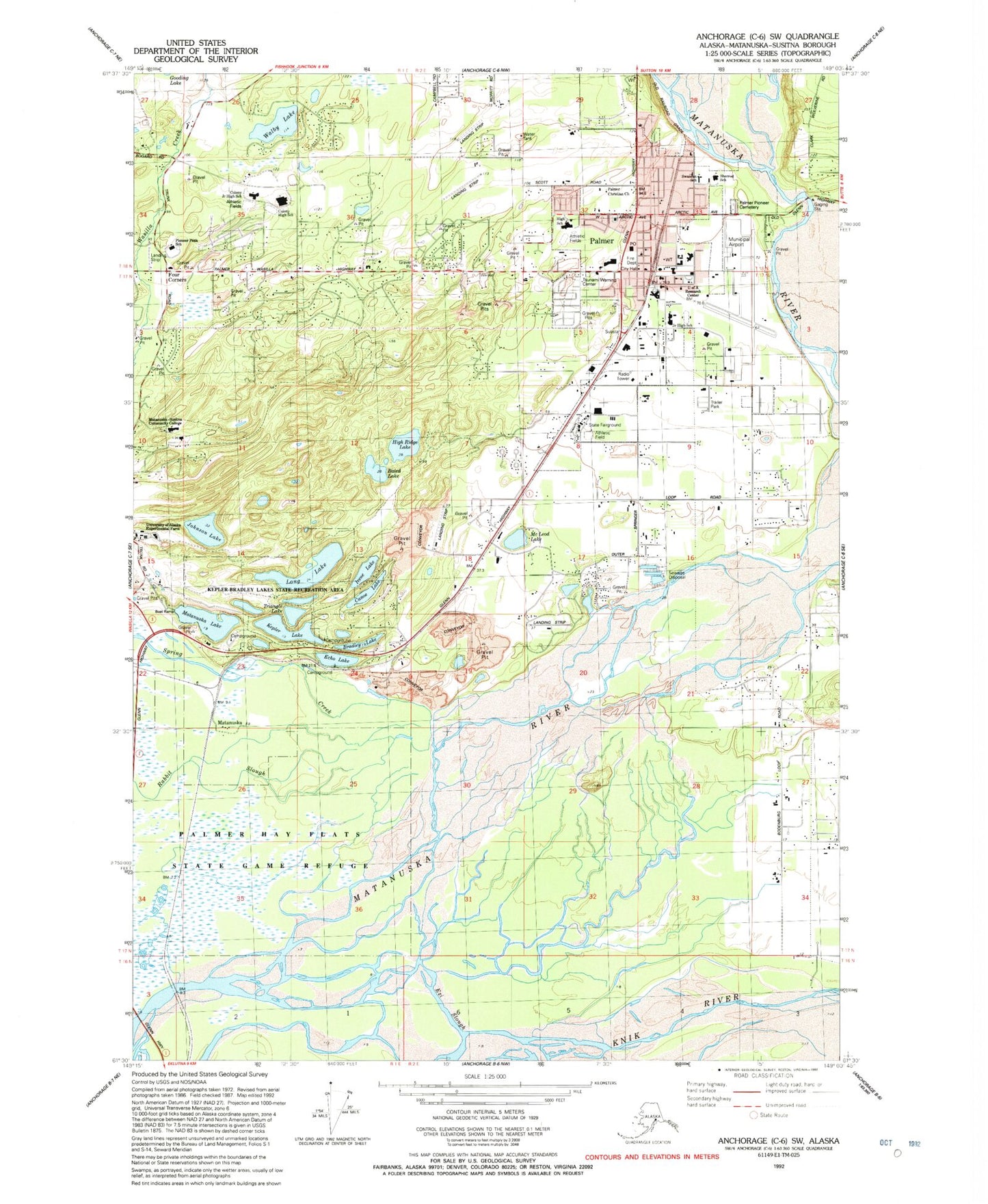
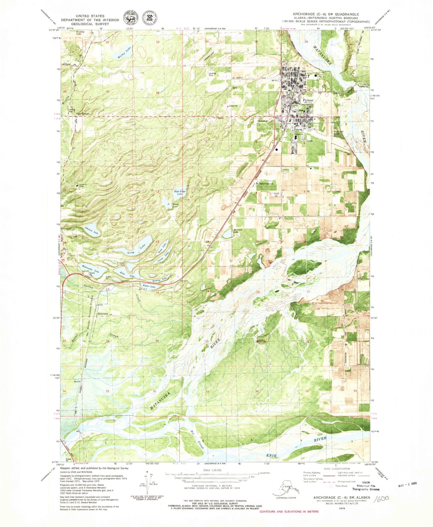
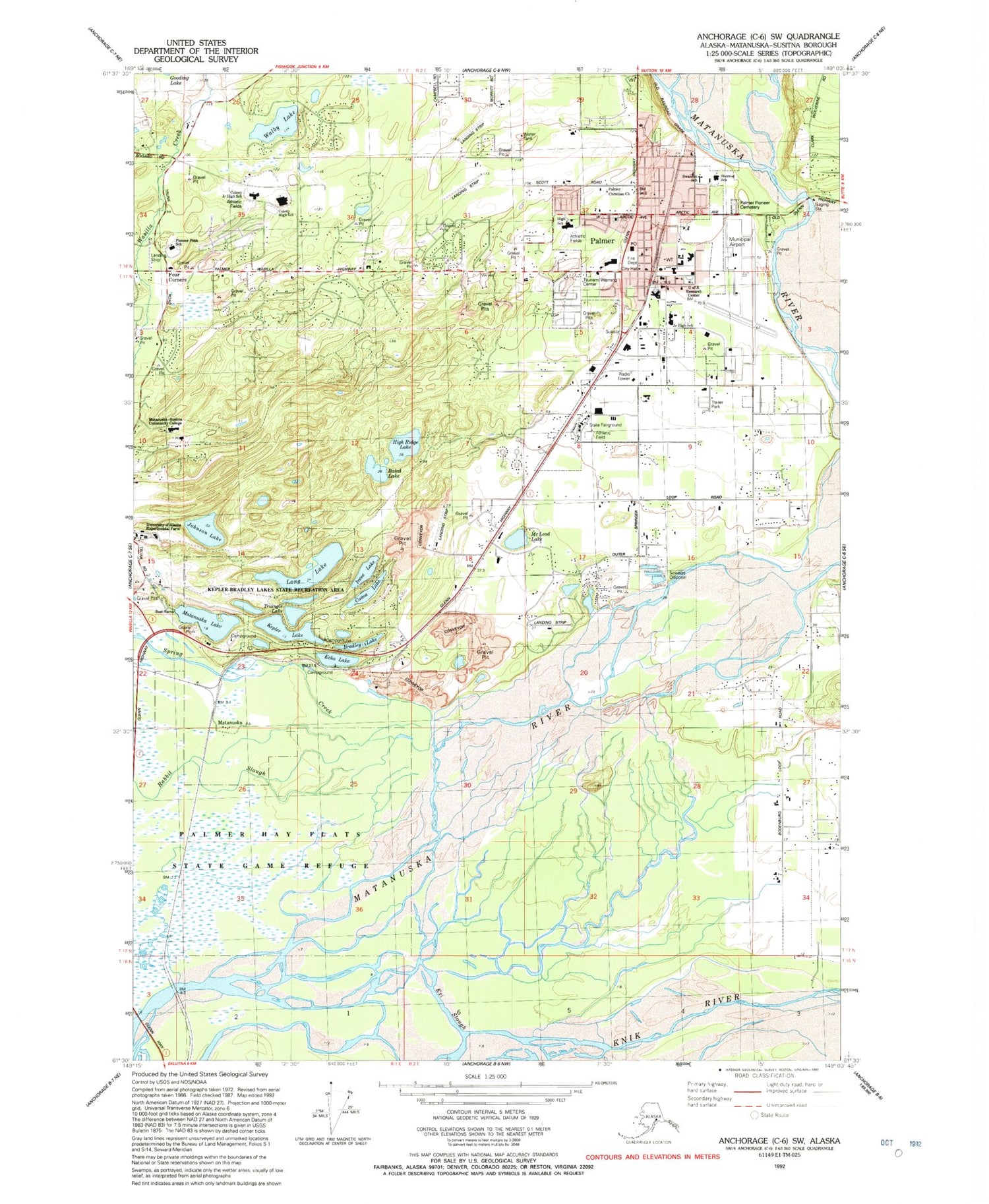
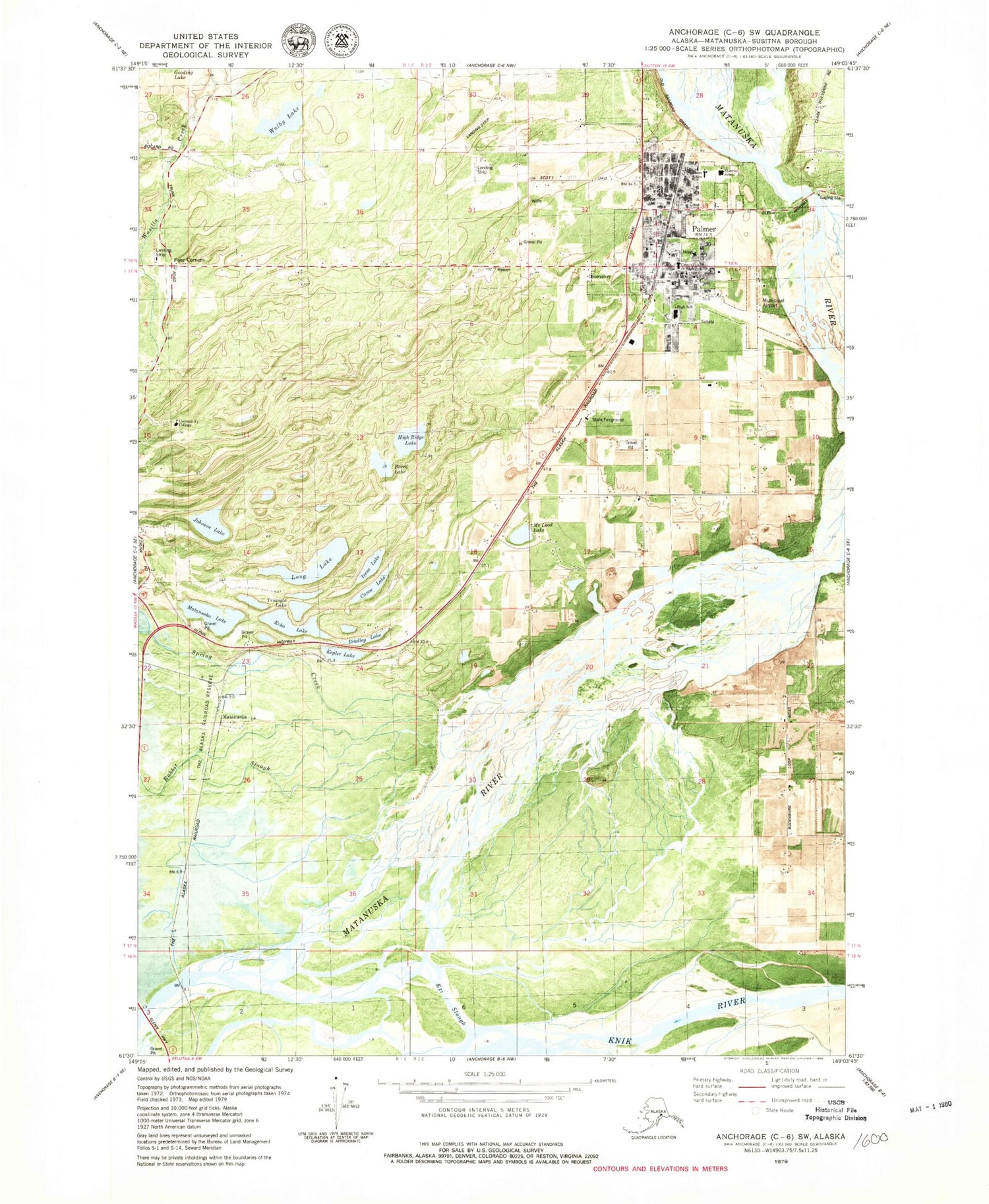
Classic USGS Anchorage C-6 SW Alaska 7.5'x7.5' Topo Map
Couldn't load pickup availability
Historical USGS topographic quad map of Anchorage C-6 SW in the state of Alaska. Map scale may vary for some years, but is generally around 1:24,000. Print size is approximately 24" x 27"
This quadrangle is in the following counties: Matanuska-Susitna.
The map contains contour lines, roads, rivers, towns, and lakes. Printed on high-quality waterproof paper with UV fade-resistant inks, and shipped rolled.
Contains the following named places: Alaska State Troopers Palmer, Baird Lake, Bradley Lake, Canoe Lake, Central Junior High School, Central Matanuska - Susitna Fire Department Station 51, City of Palmer, Conrock North Pit, Echo Lake, Ezi Slough, Four Corners, Four Corners Airport, Gateway, Gateway Census Designated Place, Gilmore Strip, Grandview Subdivision Airport, Guardian Flight Palmer, High Ridge Lake, Irene Lake, Jim's Landing Airport, Johnson Lake, Kepler Lake, Kepler-Bradley Lakes State Recreation Area, Klaire Lake, Long Lake, Mat - Su Pretrial Facility, Mat - Su Youth Facility, Matanuska, Matanuska Lake, Matanuska-Susitna Community College, McLeod Lake, Palmer, Palmer Ambulance Service, Palmer Fire Department Station 31, Palmer Fire Department Station 34, Palmer Fire Department Station 36 Training Center, Palmer High School, Palmer Junior Middle School, Palmer Pioneer Cemetery, Palmer Police Department, Palmer Post Office, Pat-Mar Strip, Pioneer Peak Elementary School, Rabbit Slough, Shelby Strip, Sherrod Elementary School, Sherrod School, Sky Ranch Airport at Pioneer Peak, Spring Creek, Swanson Elementary School, Swanson School, Triangle Lake, Tsunami Warning Center, University of Alaska Research Center, Valley Hospital Rehabilitation Services, Walby Lake, Walby Lake Seaplane Base, Warren "Bud" Woods Palmer Municipal Airport


