MyTopo
Classic USGS Anchorage C-7 NW Alaska 7.5'x7.5' Topo Map
Couldn't load pickup availability
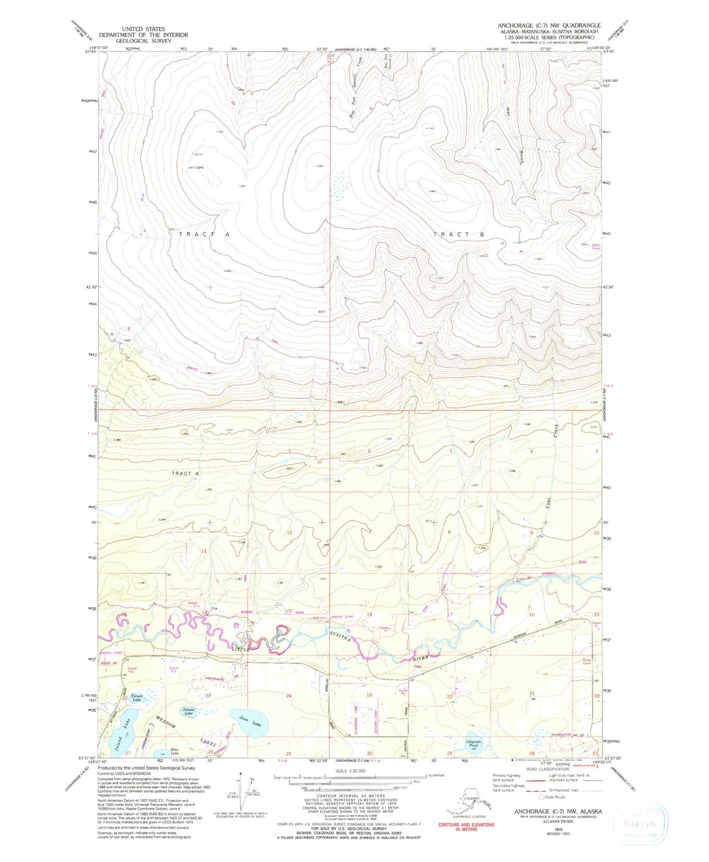
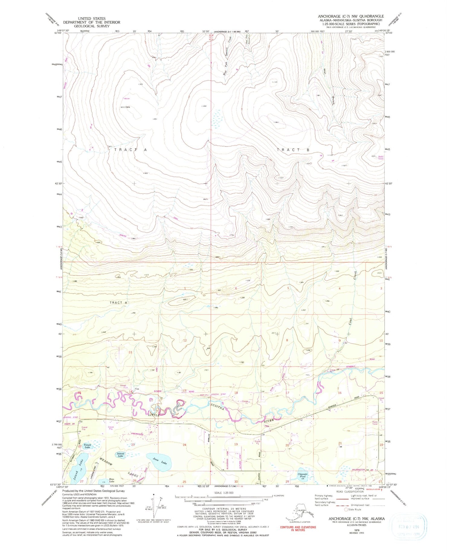
Historical USGS topographic quad map of Anchorage C-7 NW in the state of Alaska. Map scale may vary for some years, but is generally around 1:24,000. Print size is approximately 24" x 27"
This quadrangle is in the following counties: Matanuska-Susitna.
The map contains contour lines, roads, rivers, towns, and lakes. Printed on high-quality waterproof paper with UV fade-resistant inks, and shipped rolled.
Contains the following named places: Chignaki Pond, Coal Creek, Gannon's Landing, Island Lake, Island Lake Seaplane Base, Jaland Lake, June Lake, June Lake Airpark, June Lake Seaplane Base, KMBQ-FM (Wasilla), Meadow Lakes Census Designated Place, Moon Princess Creek, Todds Strip, Totuck Lake, West Lakes Fire Department Station 72