MyTopo
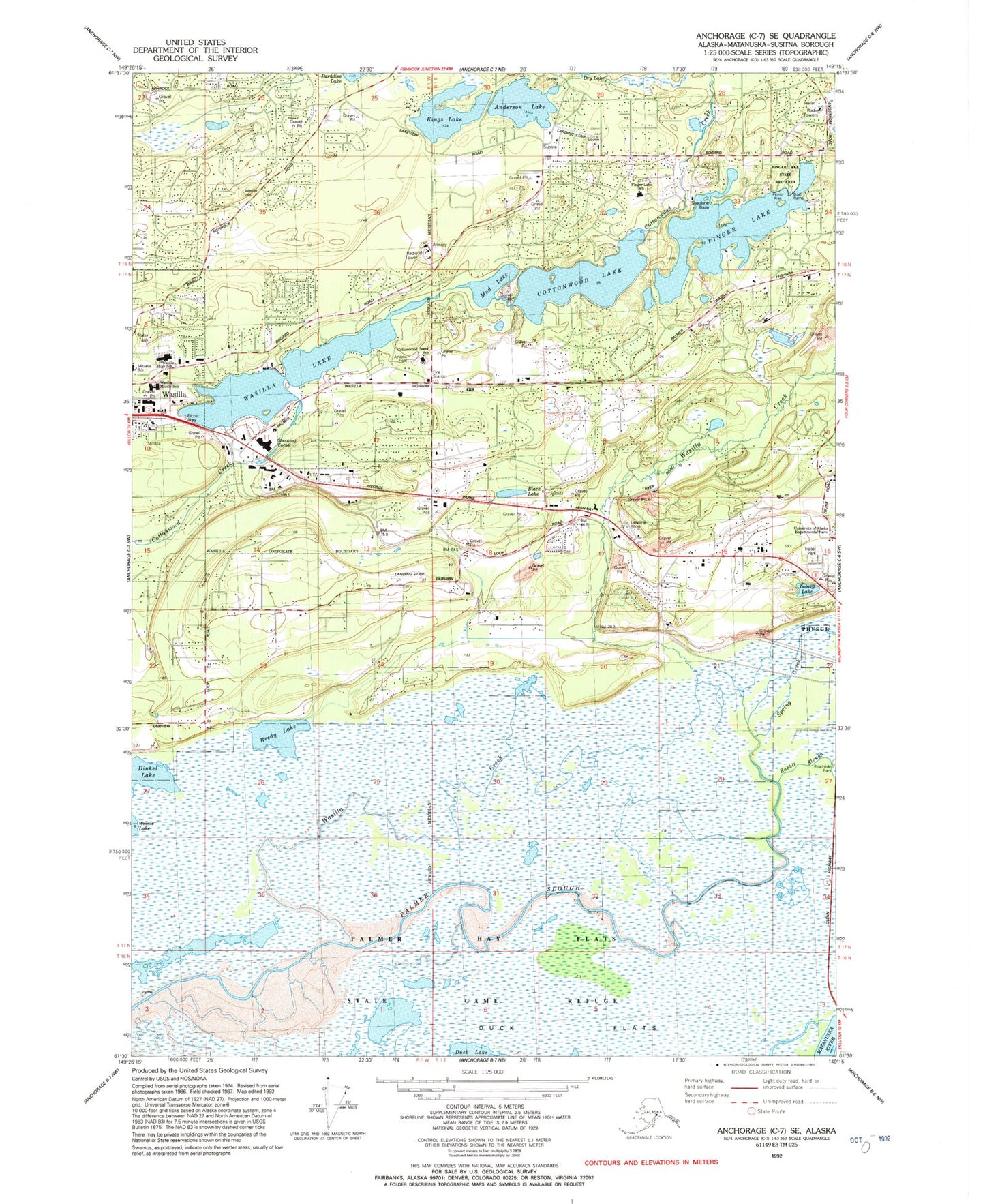
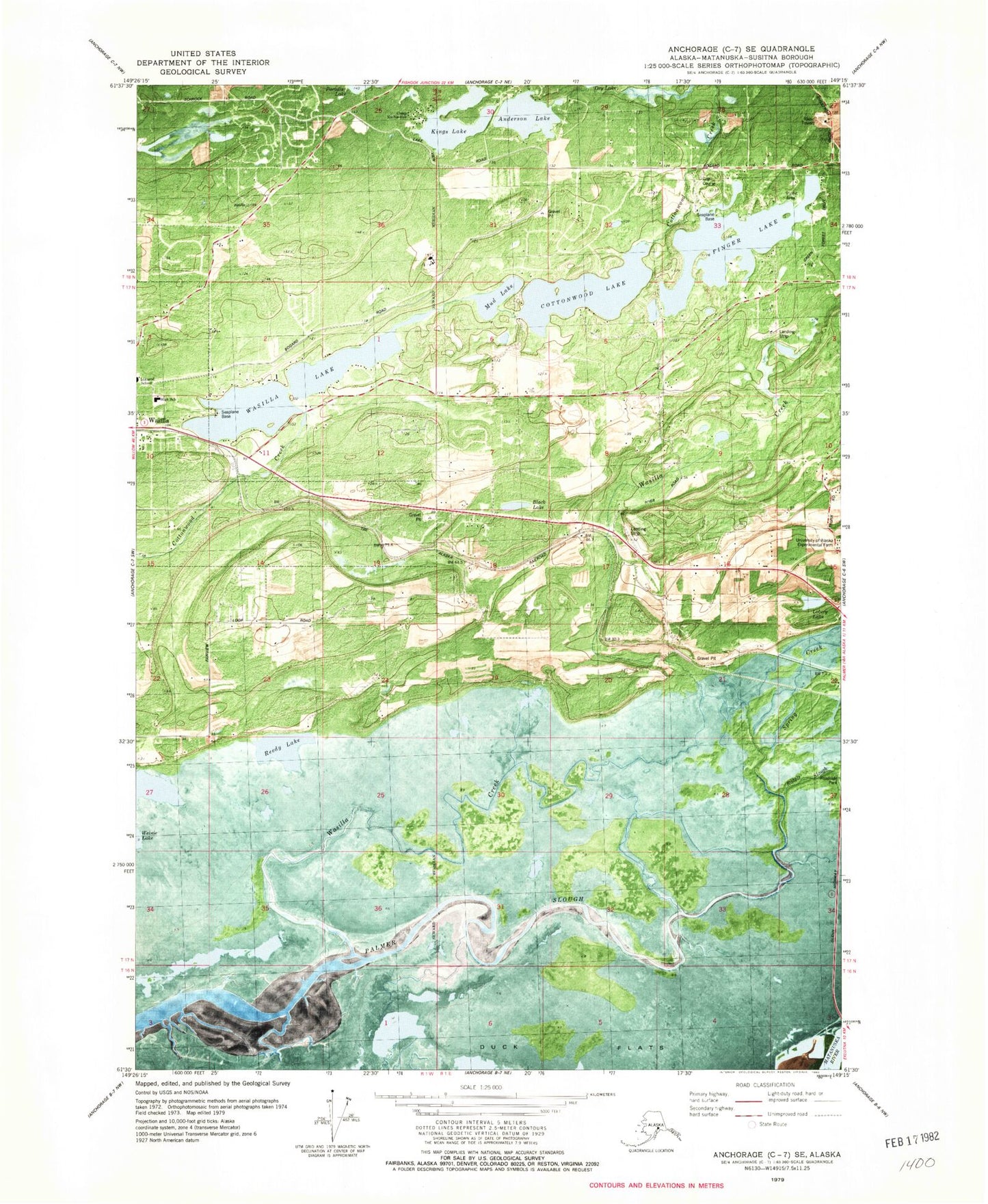
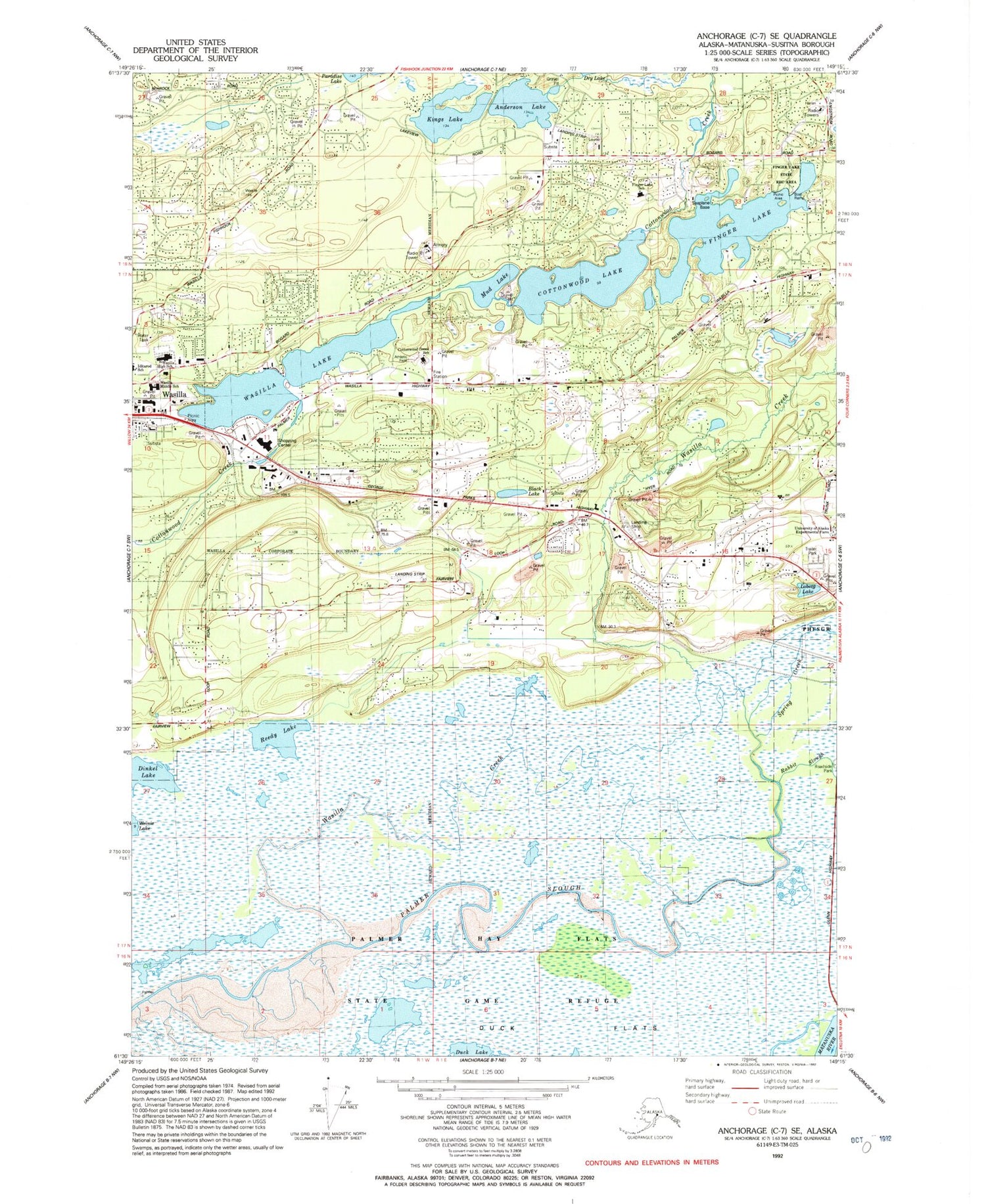
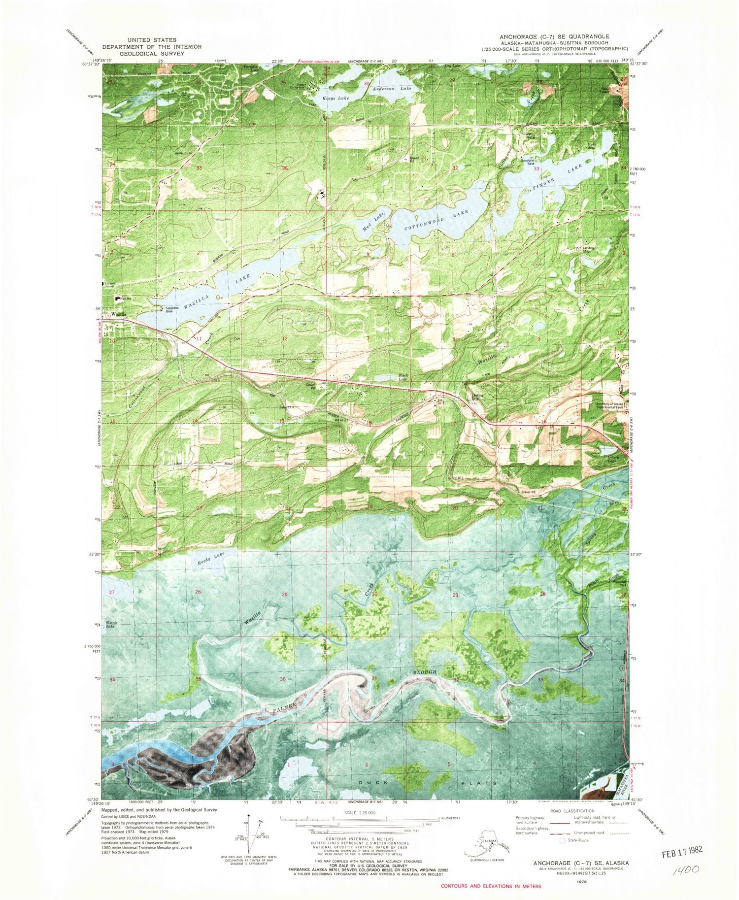
Classic USGS Anchorage C-7 SE Alaska 7.5'x7.5' Topo Map
Couldn't load pickup availability
Historical USGS topographic quad map of Anchorage C-7 SE in the state of Alaska. Map scale may vary for some years, but is generally around 1:24,000. Print size is approximately 24" x 27"
This quadrangle is in the following counties: Matanuska-Susitna.
The map contains contour lines, roads, rivers, towns, and lakes. Printed on high-quality waterproof paper with UV fade-resistant inks, and shipped rolled.
Contains the following named places: Anderson Lake, Anderson Lake Airport, B & B Boys Ranch Airport, Black Lake, Brentwood Post Office, Cardwell Strip, Carol's Heliport, Central Matanuska - Susitna Fire Department Station 52, Central Matanuska - Susitna Fire Department Station 65, Central Matanuska - Susitna Fire Department Station 66, Chuqilin Kaq', Colberg Airport, Cottonwood Creek, Cottonwood Lake, Cottonwood Lake Seaplane Base, Department of Veterans Affairs Mat - Su Community Based Outpatient Clinic, Dinkel Lake, Duck Flats, Fairview East Airport, Fairview Landing Airport, Finger Lake, Finger Lake Elementary School, Finger Lake Seaplane Base, Finger Lake State Recreation Site, Gattis Strip, Green's Strip, Iditarod School, Kings Lake, Lakes Census Designated Place, Loberg Lake, Mat - Su Public Health Center South Central Region, Mat - Su Regional Medical Center, Mat-Su Regional Medical Center Heliport, Memory Lake Estates Dam Number 1, Mud Lake, North Lakes Census Designated Place, Palmer Slough, Paradise Lake, Philos Airport, Providence Matanuska Health Care, Reedy Lake, South Lakes Census Designated Place, Southcentral Foundation Valley Native Primary Care Center, Spring Creek, St John Homestead Airport, Stro's Airport, University of Alaska Experimental Farm, Upper Wasilla Lake Seaplane Base, Valley Hospital Wasilla Heliport, Wasilla Annex Post Office, Wasilla Creek, Wasilla High School, Wasilla Lake, Wasilla Lake Seaplane Base, Wasilla Middle School, Wasilla Police Department, Weinie Lake, Yuknis Airport


