MyTopo
Classic USGS Anchorage C-7 SW Alaska 7.5'x7.5' Topo Map
Couldn't load pickup availability
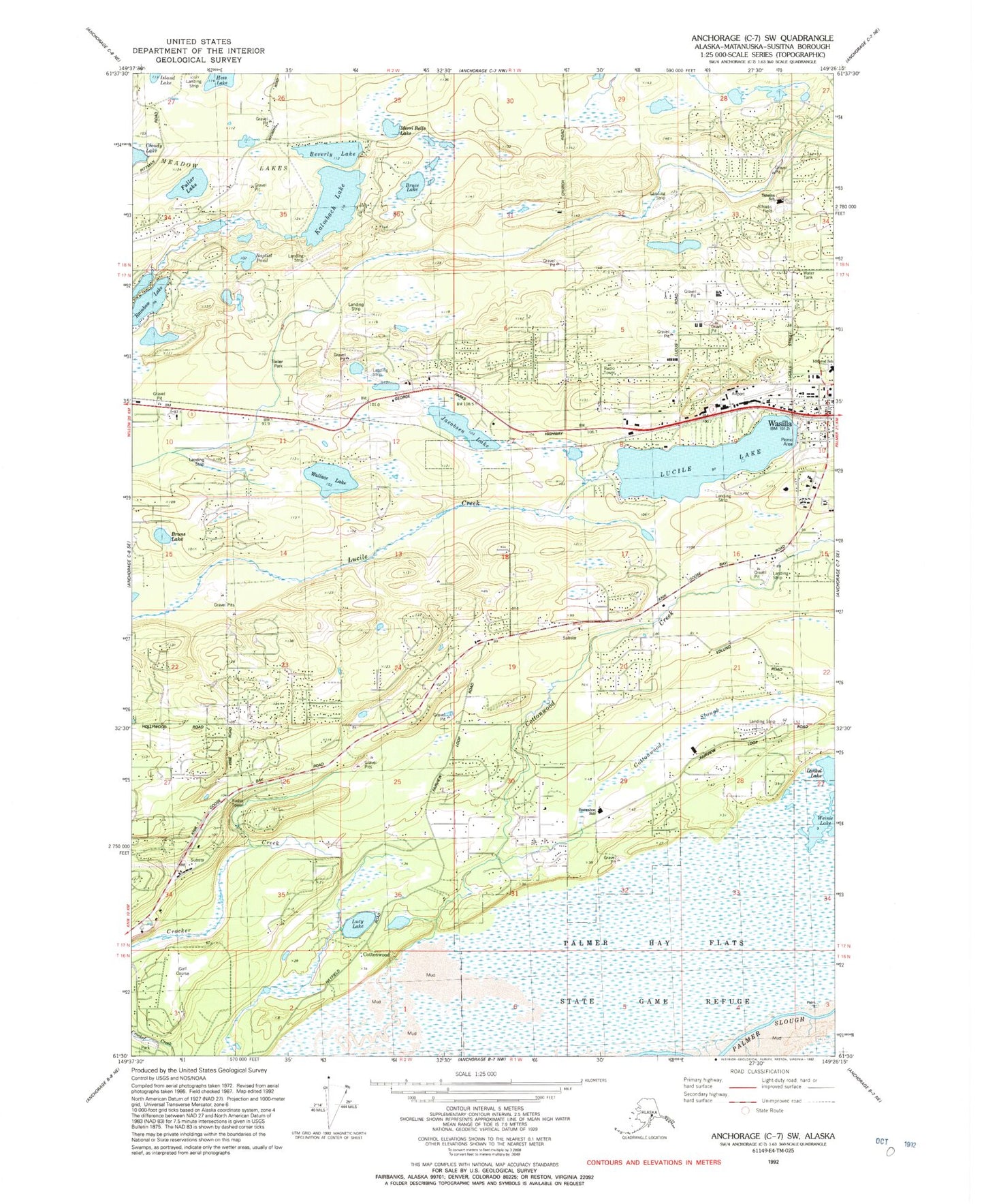
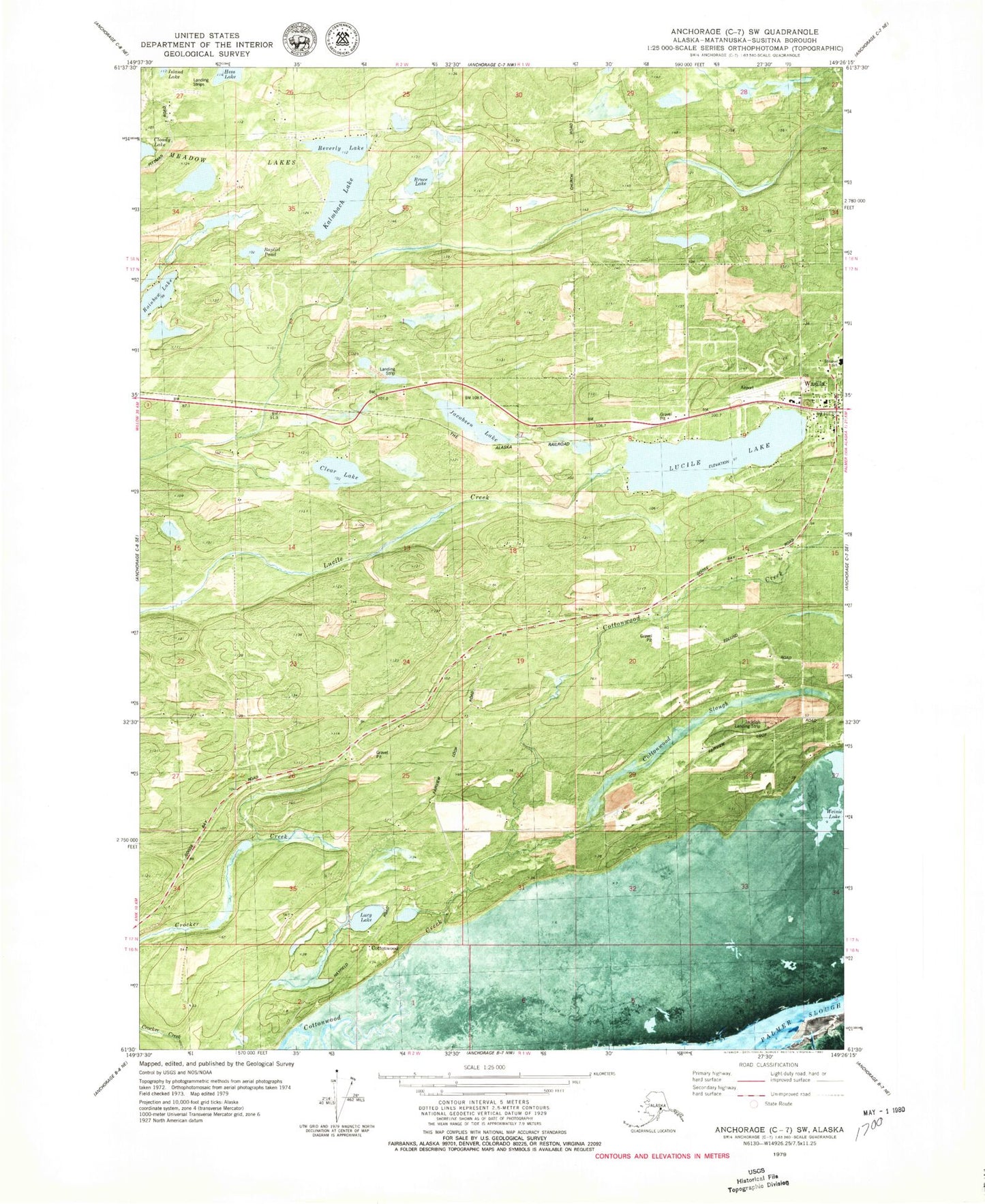
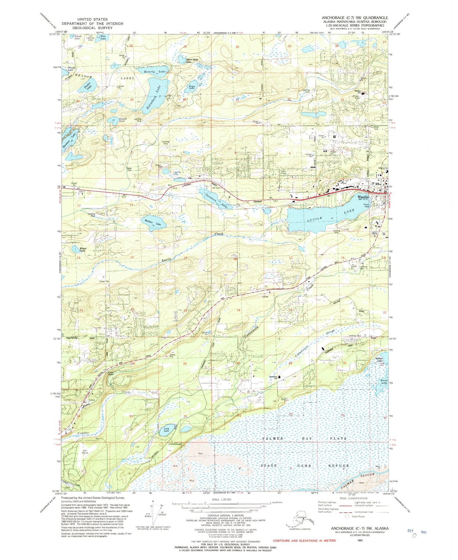
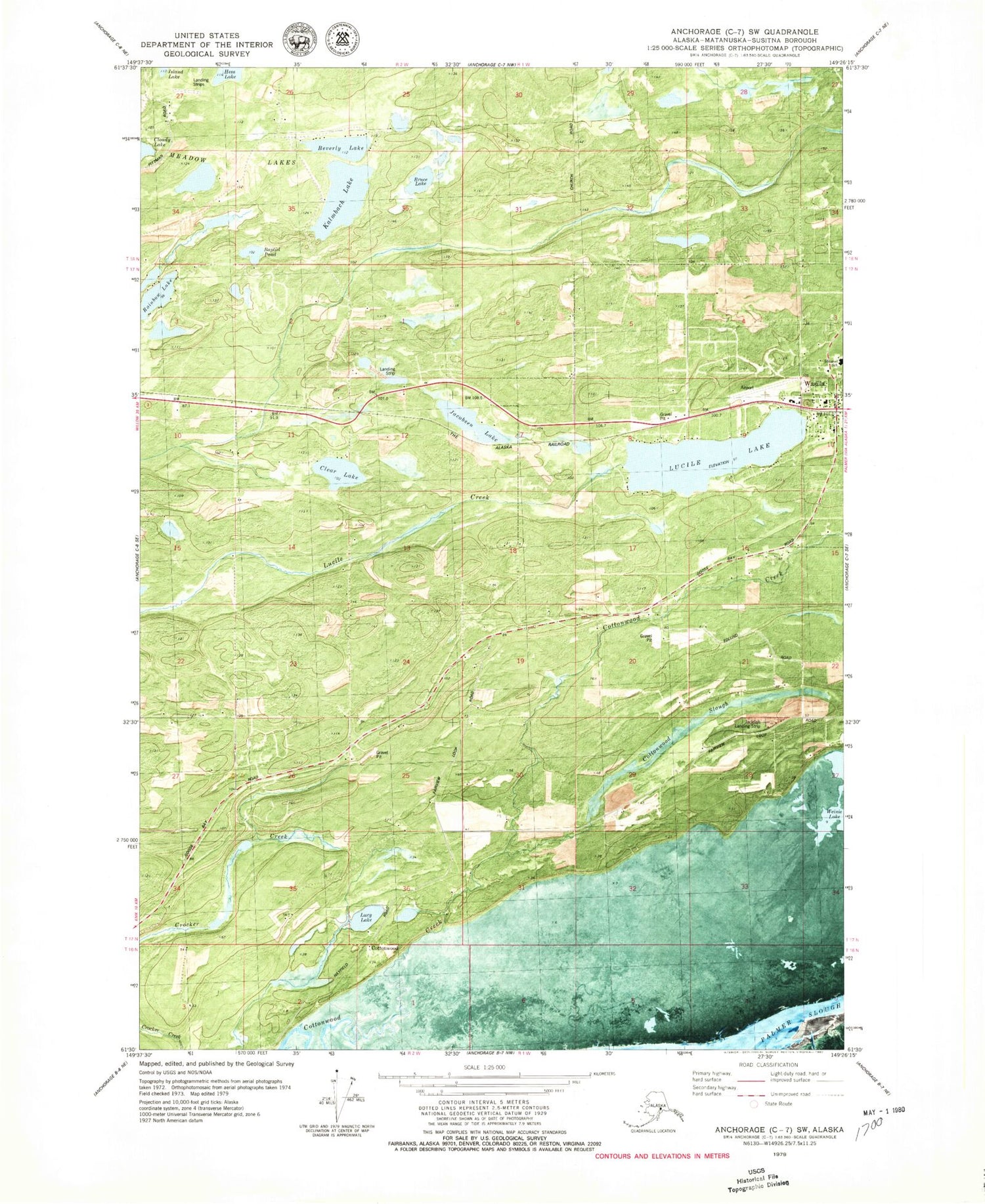
Historical USGS topographic quad map of Anchorage C-7 SW in the state of Alaska. Typical map scale is 1:24,000, but may vary for certain years, if available. Print size: 24" x 27"
This quadrangle is in the following counties: Matanuska-Susitna.
The map contains contour lines, roads, rivers, towns, and lakes. Printed on high-quality waterproof paper with UV fade-resistant inks, and shipped rolled.
Contains the following named places: Bruns Lake, Fuller Lake, Cottonwood, Cottonwood Slough, Jacobsen Lake, Kalmbach Lake, Lucile Lake, Lucy Lake, Railroad Lake, Wallace Lake, Wasilla, Bruce Lake, Hess Lake, Merri Belle Lake, Mud Lake, Iditarod Elementary School, Beverly Lake, Baptist Pond, Rainbow Lake, Upper Rainbow Lake, Wasilla Airport, Hess Airport, Jack Fish Landing, Wicker Airport (historical), Kalmbach Airport, Wasilla Airport, Tanaina Elementary School, Snowshoe Elementary School, Meadow Lakes, Kanatak Tribal Designated Statistical Area (historical), City of Wasilla, Wasilla - Lakes Fire Service, Central Matanuska - Susitna Fire Department Station 62, Central Matanuska - Susitna Fire Department Station 61, Kalmbach Lake Seaplane Base, Jacobsen Lake Seaplane Base, Wallis Lake Seaplane Base, Lake Lucille Seaplane Base, Jolly Field, Tidewater Airport, Piper Landing, Fairview West Airport (historical), Bluff Park Farm Airport, Shawn Field, Nik'udatl'ech'a Bena, Mat - Su Health Services, Knik Post Office, Wasilla Post Office, Emerald Lake, Sacred Heart Catholic Cemetery, Wasilla Aurora Cemetery, KGB Post Office


