MyTopo
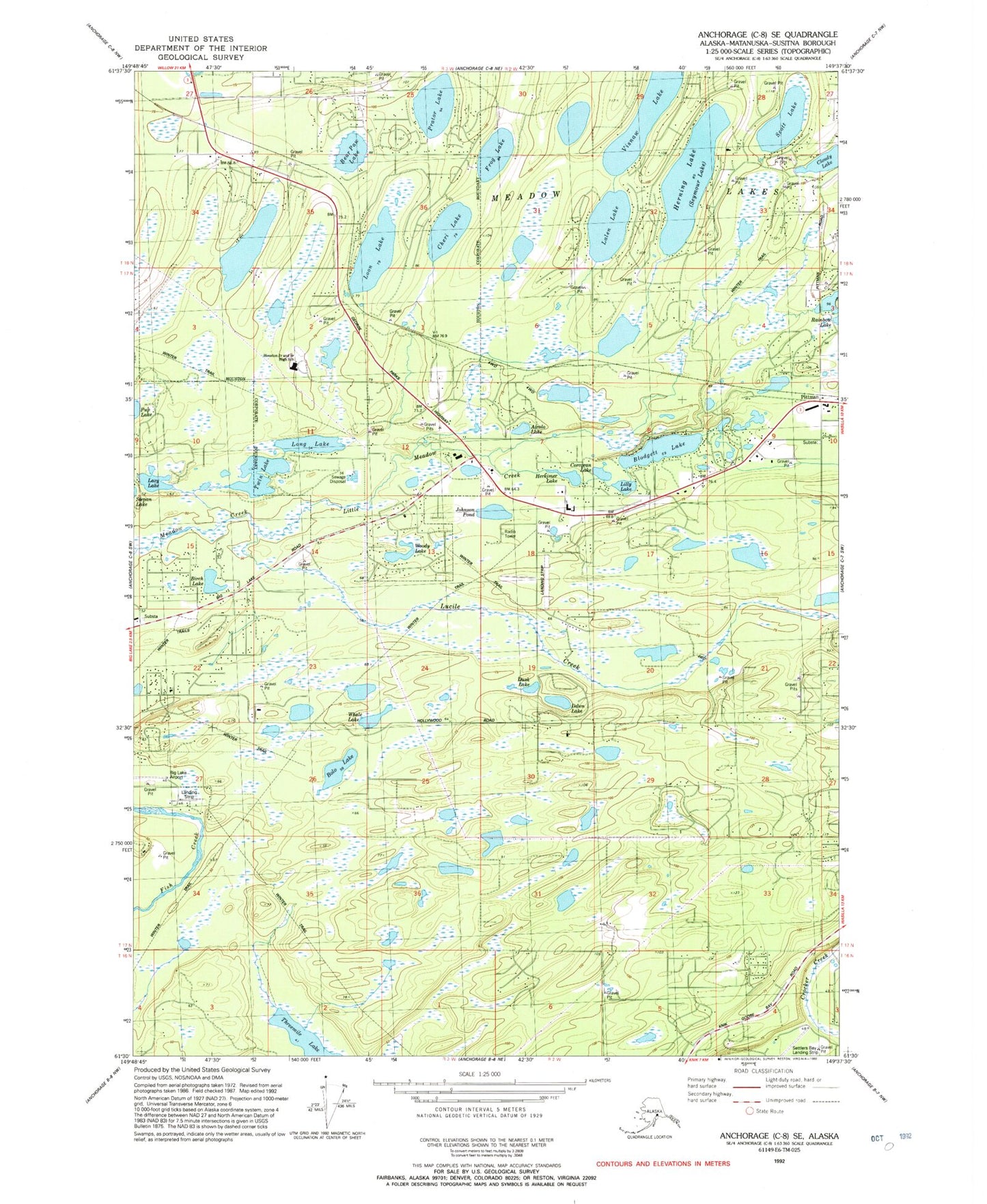
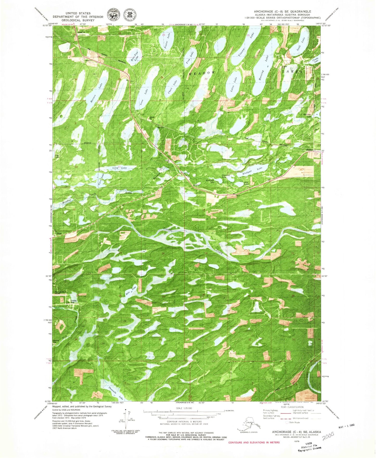
Classic USGS Anchorage C-8 SE Alaska 7.5'x7.5' Topo Map
Couldn't load pickup availability
Historical USGS topographic quad map of Anchorage C-8 SE in the state of Alaska. Map scale may vary for some years, but is generally around 1:24,000. Print size is approximately 24" x 27"
This quadrangle is in the following counties: Matanuska-Susitna.
The map contains contour lines, roads, rivers, towns, and lakes. Printed on high-quality waterproof paper with UV fade-resistant inks, and shipped rolled.
Contains the following named places: Airolo Lake, Alaska State Troopers Mat - Su West Station, Bear Paw Lake, Blodgett Lake, Blodgett Lake Seaplane Base, Bolo Lake, Cheri Lake, City of Houston, Cloudy Lake, Corcoran Lake, Dawn Lake, Fisher Airport, Frog Lake, Golden Lake, Grebe Lake Airport, Gus Landing, Herkimer Lake, Herning Lake, Houston Junior and Senior High School, Hunt Strip, Johnson Pond, KABN-AM (Long Island), Knik-Fairview Census Designated Place, Lake Lalen, Leisurewood Airstrip, Lilly Lake, Lincoln Village Airpark, Little Meadow Creek, Long Lake, Loon Lake, Lucile Creek, Maruro Lake, Meadow Lake Contract Postal Unit, Meadow Lakes, Meadow Lakes Ambulance Service, Mels Airport, Misty Lake Seaplane Base, Morvro Lake Seaplane Base, Pittman, Prator Lake, Rainbow Heights Estates Airstrip, Scott Lake, Settlers Bay Airstrip, Seymour Lake Seaplane Base, South Hollywood Airport, Sunset Strip, Toad Lake Strip, Tulakes Airport, Twin Lake, Twin Lake Airport, Visnaw Lake, Visnaw Lake Seaplane Base, West Lakes Fire Department Station 71, Whale Lake, Wolf Track Airport, Woody Lake, ZIP Code: 99694