MyTopo
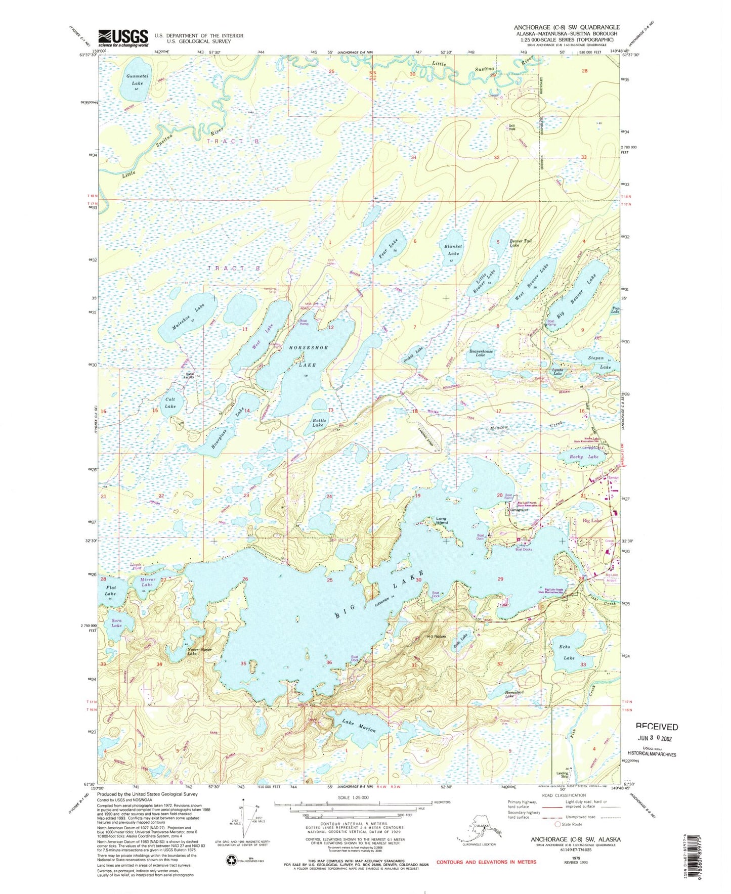
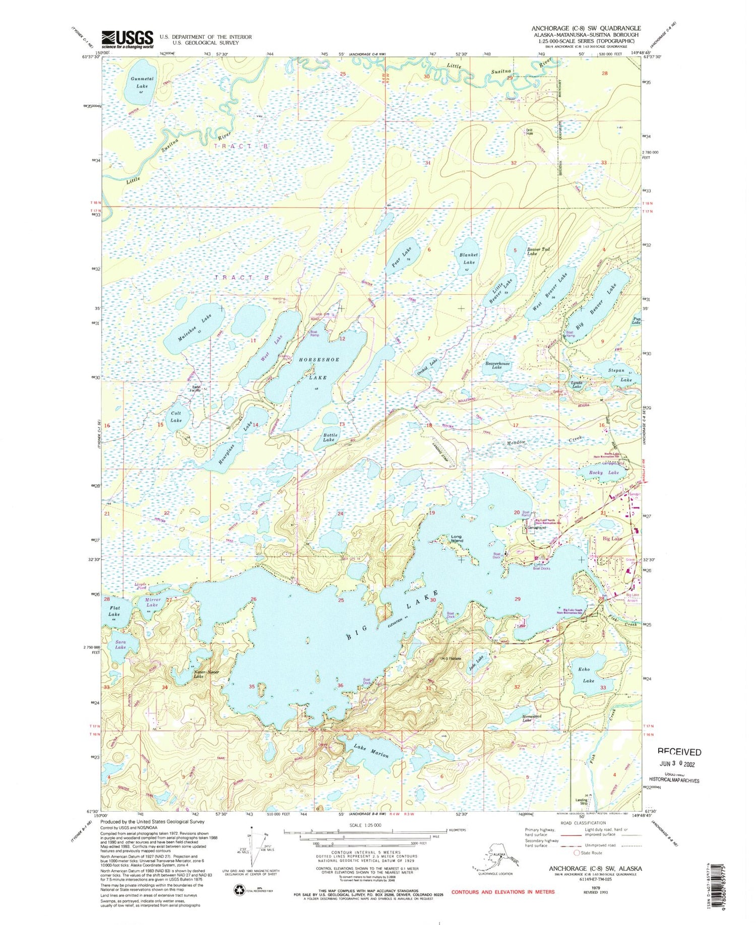
Classic USGS Anchorage C-8 SW Alaska 7.5'x7.5' Topo Map
Couldn't load pickup availability
Historical USGS topographic quad map of Anchorage C-8 SW in the state of Alaska. Map scale may vary for some years, but is generally around 1:24,000. Print size is approximately 24" x 27"
This quadrangle is in the following counties: Matanuska-Susitna.
The map contains contour lines, roads, rivers, towns, and lakes. Printed on high-quality waterproof paper with UV fade-resistant inks, and shipped rolled.
Contains the following named places: Beaver Lake Seaplane Base, Beaver Lakes, Beaver Tail Lake, Beaverhouse Lake, Big Beaver Lake, Big Lake, Big Lake Airport, Big Lake Census Designated Place, Big Lake Contract Postal Unit, Big Lake North State Recreation Site, Big Lake South State Recreation Site, Blanket Lake, Bottle Lake, Colt Lake, Cowell's Heliport, Crescent Moon Island, Cubdivision Airport, Echo Lake, Gunmetal Lake, H & H Field, Homestead Lake, Hoppe's Seaplane Base, Horseshoe Lake, Horseshoe Lake Seaplane Base, Hourglass Lake, Jade Lake, Jones Landing Seaplane Base, Kramer Airport, Kucera Residence Airport, Kucera Seaplane Base, Lake Marion, Little Beaver Lake, Lloyds Pond, Long Island, Loon Island, Lynda Lake, Marion Seaplane Base, Meadow Creek, Mirror Lake, Muleshoe Lake, Never-Never Lake, Nolfi Cove, Orchid Lake, Owen Field, Pear Lake, Phillips Pholly, Pup Lake, Reids Landing, Rocky Lake, Saddleback Island Heliport, Sara Lake, Stepan Lake, Team Levine Heliport, West Beaver Airport, West Beaver Lake, West Beaver Seaplane Base, West Lake, West Lakes Fire Department Station 81, West Lakes Fire Department Station 82, ZIP Code: 99652


