MyTopo
Classic USGS Andrew Iowa 7.5'x7.5' Topo Map
Couldn't load pickup availability
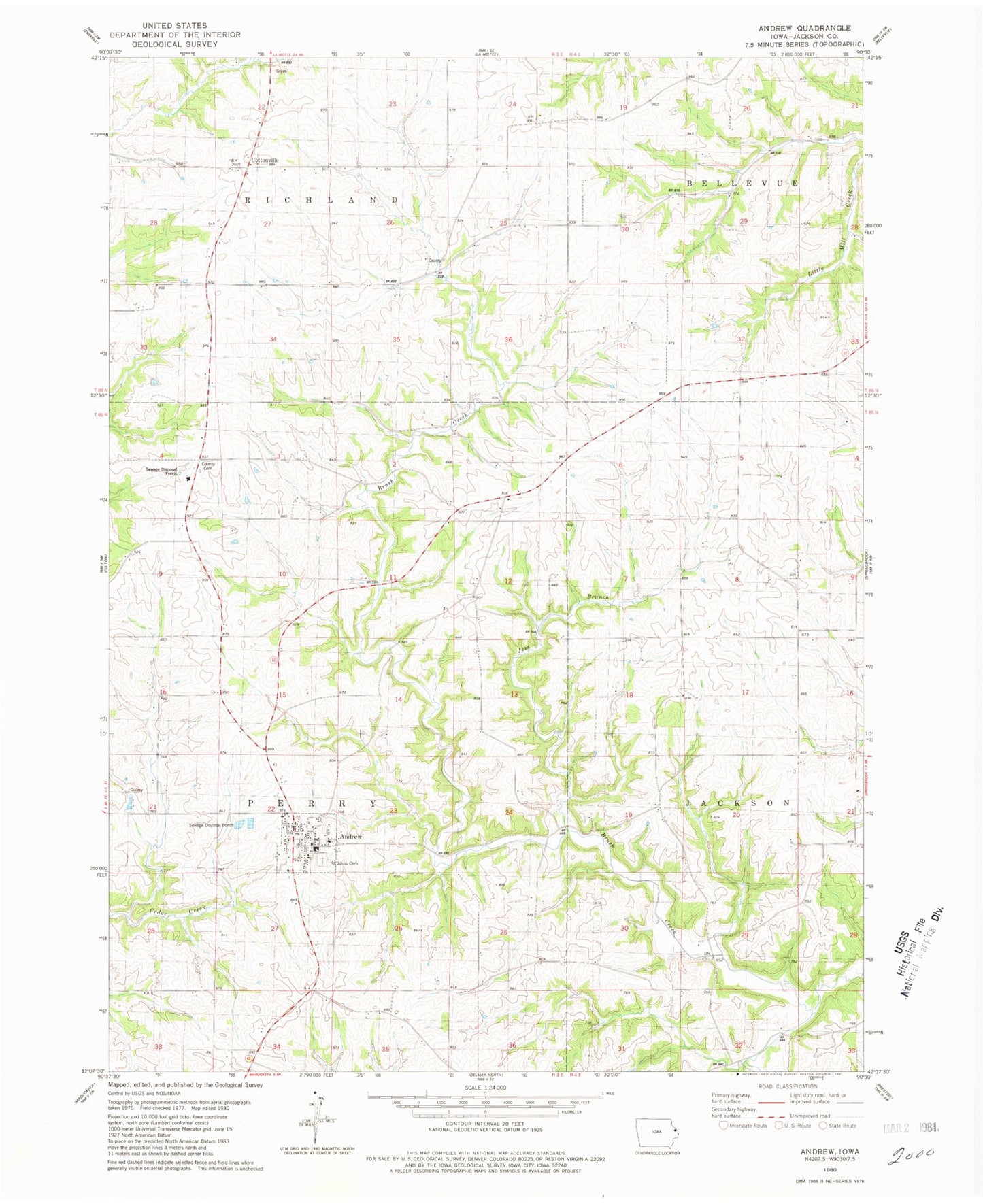
Historical USGS topographic quad map of Andrew in the state of Iowa. Map scale may vary for some years, but is generally around 1:24,000. Print size is approximately 24" x 27"
This quadrangle is in the following counties: Jackson.
The map contains contour lines, roads, rivers, towns, and lakes. Printed on high-quality waterproof paper with UV fade-resistant inks, and shipped rolled.
Contains the following named places: Andrew, Andrew Cemetery, Andrew City Hall, Andrew Community School, Andrew Fire Station, Andrew Post Office, City of Andrew, Cottonville, Cottonville Cemetery, Cottonville Post Office, Country Poor Farm Cemetery, Dorr Cemetery, Herrig Cemetery, Hickory Grove, Hickory Grove Post Office, Jackson County, Jackson County Cemetery, Jess Branch, Lawrence Van Hook Historical Marker, Presbyterian Church, Saint John Cemetery, Saint Johns Catholic Church, Salem Lutheran Church, Township of Perry, ZIP Code: 52030