MyTopo
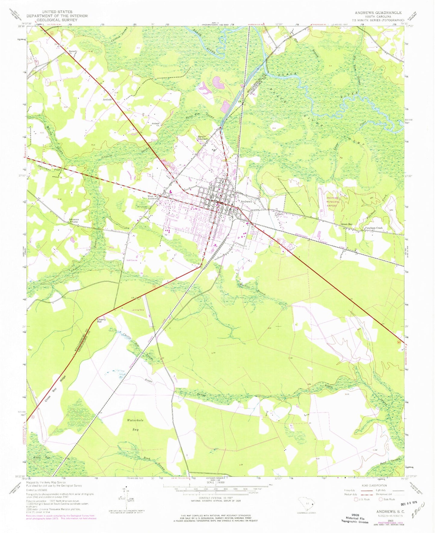
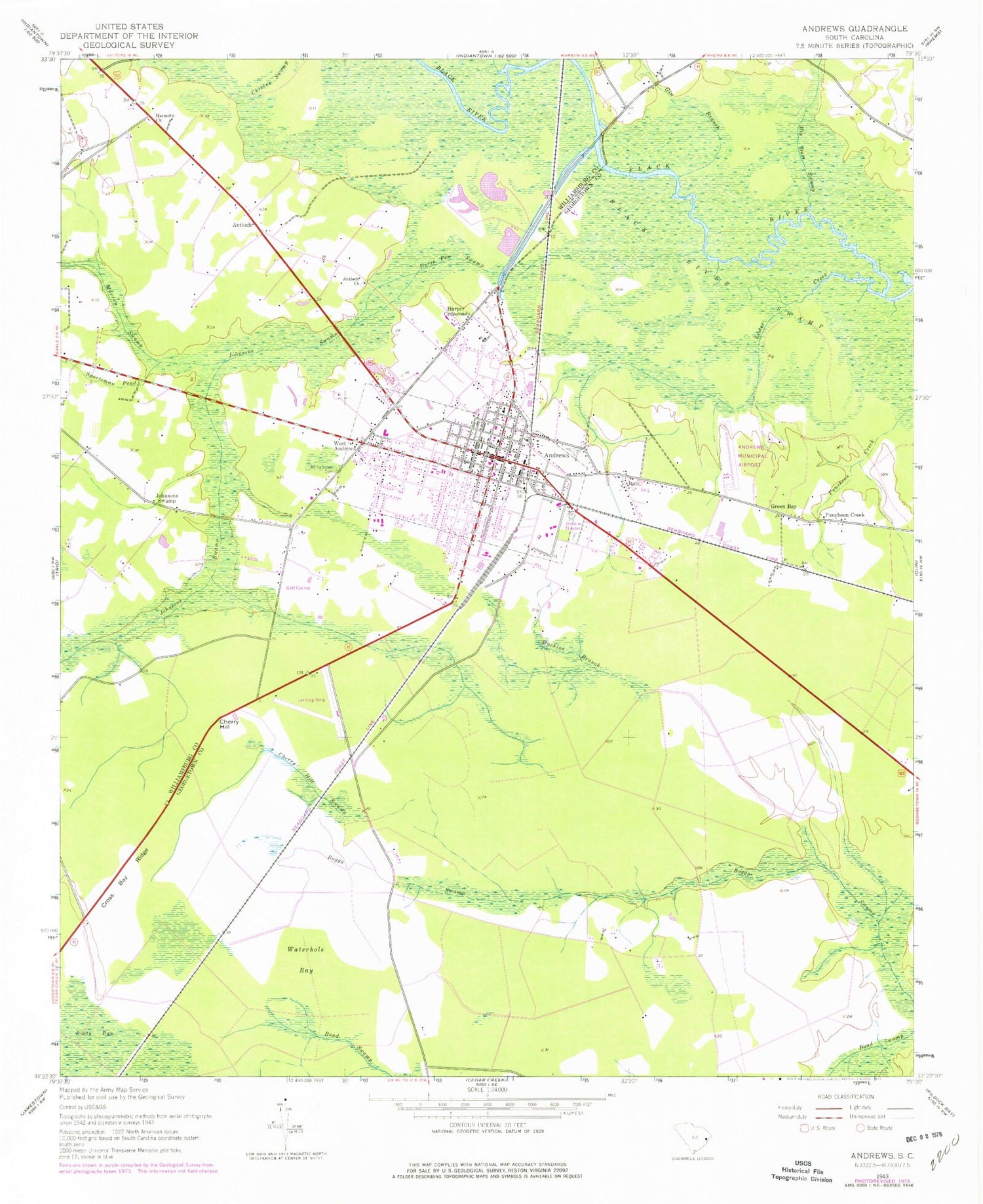
Classic USGS Andrews South Carolina 7.5'x7.5' Topo Map
Couldn't load pickup availability
Historical USGS topographic quad map of Andrews in the state of South Carolina. Map scale may vary for some years, but is generally around 1:24,000. Print size is approximately 24" x 27"
This quadrangle is in the following counties: Georgetown, Williamsburg.
The map contains contour lines, roads, rivers, towns, and lakes. Printed on high-quality waterproof paper with UV fade-resistant inks, and shipped rolled.
Contains the following named places: Andrews, Andrews Branch Library, Andrews Christian School, Andrews City Fire Department Station 15, Andrews Colored School, Andrews Elementary School, Andrews High School, Andrews Industrial Park, Andrews Old Town Hall Museum, Andrews Pentecostal Holiness Church, Andrews Police Department, Andrews Post Office, Andrews Presbyterian Church, Andrews Public School, Andrews Senior Center, Andrews Sewage Pond Dam D-3594, Andrews Town Hall, Antioch, Antioch Church, Big Dam Swamp, Birch Creek, Boety Bay, Cherry Hill, Cherry Hill Golf and Country Club, Cherry Hill Swamp, Chicken Swamp, Church of Christ, Church of God, First Baptist Church of Andrews, Georgetown County Business Center, Georgetown County Sheriff's Office, Gin Branch, Green Bay, Green Bay Church, Harmony Cemetery, Harmony Church, Harper Crossroads, Hines Chapel Holiness Church, Horse Pen Swamp, Italy, Johnson Swamp School, Johnsons Swamp, Lester Creek, Long Branch Church, Machine Branch, Mount Lebanon Cemetery, Murray Swamp, ParaBasic Medical Transport, Pine Crest Baptist Church, Piney Grove Baptist Church, Potato Ferry, Puncheon Creek, Robert F Swinnie Airport, Rosemary Middle School, Saint Andrews African Methodist Episcopal Church, Sanctified Church of God, Sportsman Pond, Town of Andrews, Trinity United Methodist Church, Victory Freewill Baptist Church, Waterhole Bay, West Andrews, ZIP Code: 29510


