MyTopo
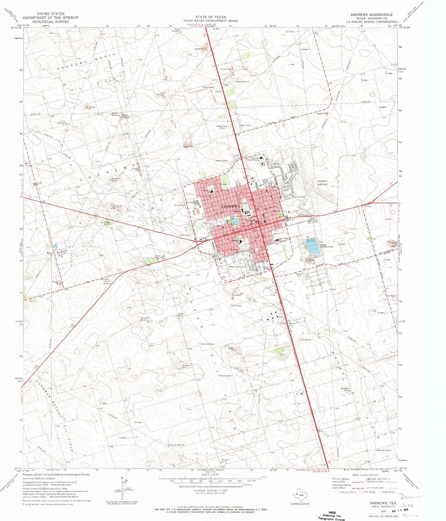
Classic USGS Andrews Texas 7.5'x7.5' Topo Map
Couldn't load pickup availability
Historical USGS topographic quad map of Andrews in the state of Texas. Map scale may vary for some years, but is generally around 1:24,000. Print size is approximately 24" x 27"
This quadrangle is in the following counties: Andrews.
The map contains contour lines, roads, rivers, towns, and lakes. Printed on high-quality waterproof paper with UV fade-resistant inks, and shipped rolled.
Contains the following named places: Adobe Ranch, Allen Windmill, Andrews, Andrews Church of Christ, Andrews City / County Emergency Medical Services, Andrews City Hall, Andrews County Airport, Andrews County Constable's Office, Andrews County Jail, Andrews County North Cemetery, Andrews County Old Cemetery, Andrews County Sheriff's Office, Andrews County West Cemetery, Andrews Education Center, Andrews High School, Andrews Middle School, Andrews North Oil Field, Andrews Oil Field, Andrews Police Department, Andrews Post Office, Andrews Volunteer Fire Department, Bakke Oil Field, Church of God, City of Andrews, Clearfork Elementary School, Devonian Elementary School, Evans Windmill, First Baptist Church, Glorieta Elementary School, Glorietta School, Grace Baptist Church, KACT-AM (Andrews), KACT-FM (Andrews), Kurby Windmill, Lakeside Park, Maranatha Assembly of God Church, McKinney Acres, McKinney Acres Census Designated Place, Mustang Bowl, Parker Oil Field, Permian General Hospital, Permian Regional Medical Center, Primitive Baptist Church, Rhodes Windmill, Saint Mathias Episcopal Church, San Andres Elementary School, San Andres School, Speed Windmill, Underwood Elementary School, United Pentecostal Church, Wesley United Methodist Church, Windmill Number Eight, Windmill Number Five, Windmill Number Four, Windmill Number Nine, Windmill Number Seven, Windmill Number Six, Windmill Number Ten, Windmill Number Three, Windmill Number Twelve, Windmill Number Two


