MyTopo
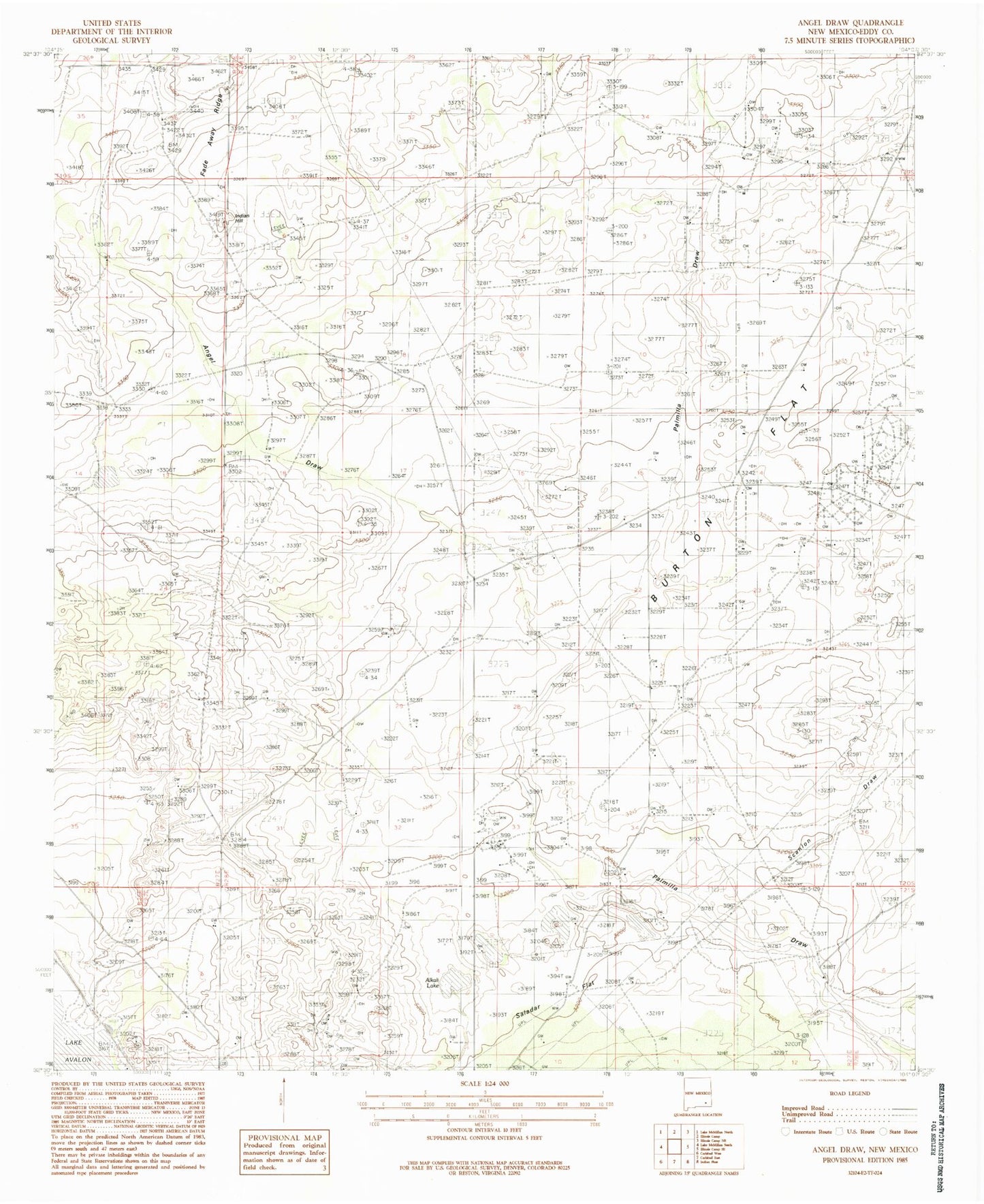
Classic USGS Angel Draw New Mexico 7.5'x7.5' Topo Map
Couldn't load pickup availability
Historical USGS topographic quad map of Angel Draw in the state of New Mexico. Map scale may vary for some years, but is generally around 1:24,000. Print size is approximately 24" x 27"
This quadrangle is in the following counties: Eddy.
The map contains contour lines, roads, rivers, towns, and lakes. Printed on high-quality waterproof paper with UV fade-resistant inks, and shipped rolled.
Contains the following named places: 00817 Water Well, 06434 Water Well, 06435 Water Well, 06436 Water Well, 06437 Water Well, 06438 Water Well, 06439 Water Well, 06440 Water Well, 06441 Water Well, 06442 Water Well, 06443 Water Well, 06703 Water Well, 06704 Water Well, 06705 Water Well, 06706 Water Well, 06707 Water Well, 06708 Water Well, 12178 Water Well, 12179 Water Well, Alkali Lake, Angel Draw, Angel Ranch, Bates Ranch, Burton Flat, Indian Hill, Murray Ranch, Murray West Well, Saladar Flat, Scanlon Draw


