MyTopo
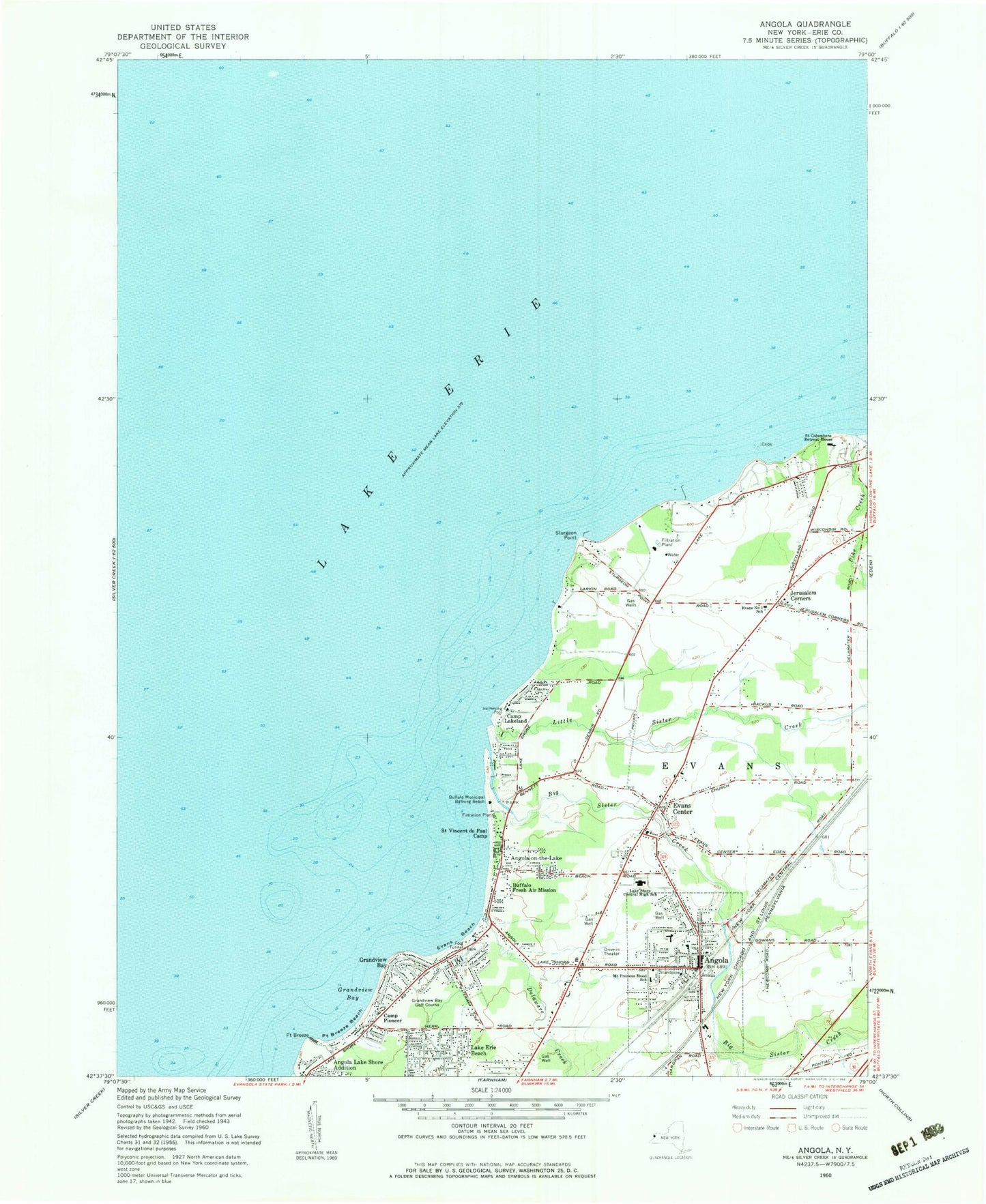
Classic USGS Angola New York 7.5'x7.5' Topo Map
Couldn't load pickup availability
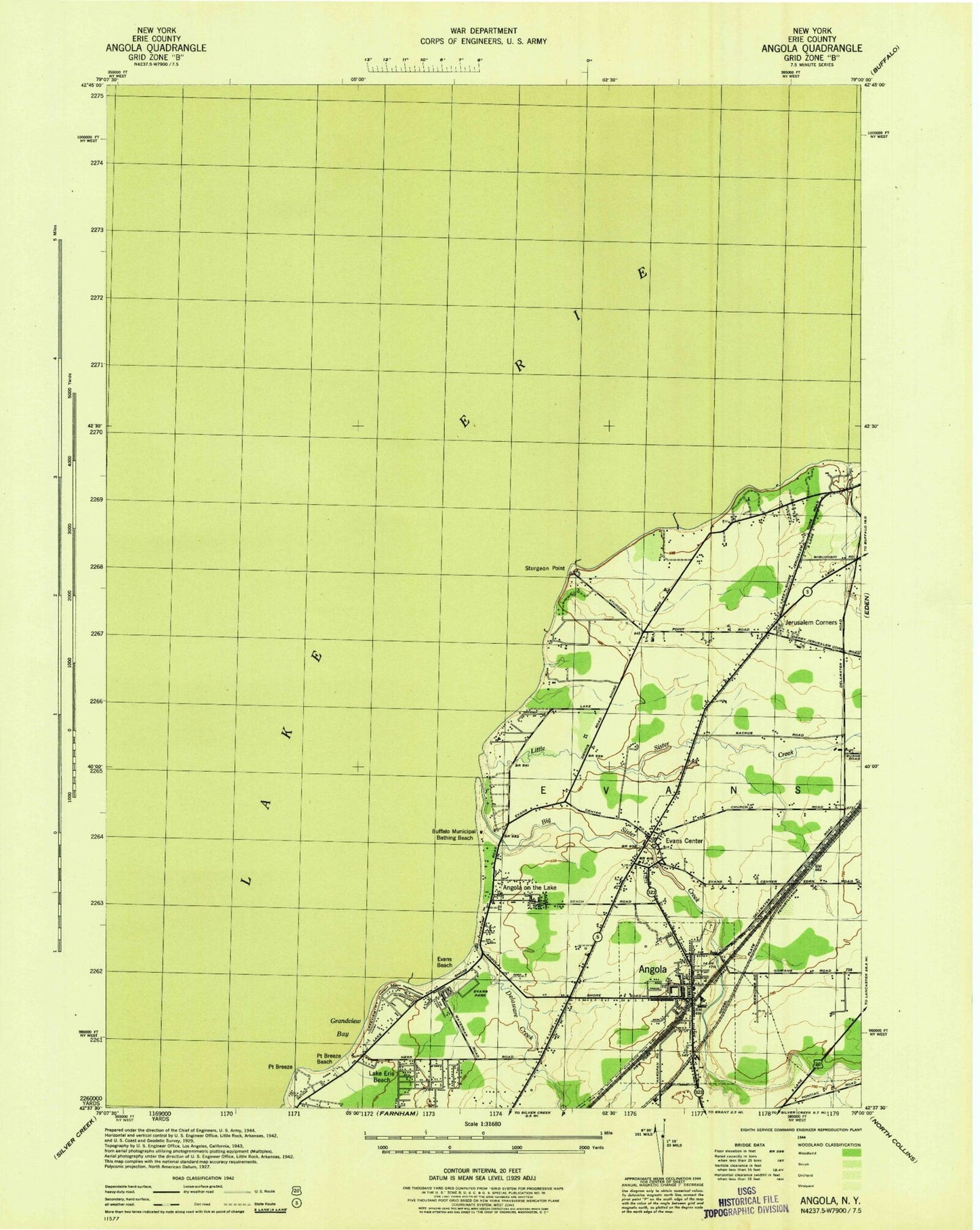
Historical USGS topographic quad map of Angola in the state of New York. Map scale may vary for some years, but is generally around 1:24,000. Print size is approximately 24" x 27"
This quadrangle is in the following counties: Erie.
The map contains contour lines, roads, rivers, towns, and lakes. Printed on high-quality waterproof paper with UV fade-resistant inks, and shipped rolled.
Contains the following named places: A J Schmidt Elementary School, Angola, Angola on the Lake, Angola on the Lake Census Designated Place, Angola Post Office, Angola Public Library, Angola Village Hall, Angola Volunteer Fire Department Station 1, Angola Volunteer Fire Department Station 2, Angola Wesleyan Church, Angola-on-the-Lake, Bella Terra Greenhouse, Big Sister Creek, Big Sister Creek Wastewater Treatment Plant, Buffalo Fresh Air Mission, Buffalo Municipal Bathing Beach, Camp Lakeland, Camp Pioneer, Delaware Creek, Derby Post Office, Evans Beach, Evans Center, Evans Center Volunteer Fire Company Station 1, Evans Number 1 School, Evans Park, Evans Police Department, Evans Town Hall, First Baptist Church of Evans, First Church of Evans, First Congregational United Church of Christ, Grandview Bay, Grandview Bay Golf Course, Grandview Drive-In, His Way Assembly of God, Jerusalem Corners, Jerusalem Corners Cemetery, John T Waugh Elementary School, Lake Erie Beach Volunteer Fire Company, Lake Shore Central High School, Lake Shore Central Middle School, Little Sister Creek, Melody Meadows Mobile Home Park, Most Precious Blood Roman Catholic Church, Mount Precious Blood School, Muddy Creek, Pike Creek, Point Breeze, Point Breeze Beach, Saint Columbans Retreat House, Saint John Lutheran Church, Saint Vencent de Paul Camp, Sturgeon Point, Town of Evans, Triton Valley Estates Angola Mobile Home Park, Triton Valley Estates Derby Mobile Home Park, Village of Angola, Wendt Beach Park, William T Hoag Elementary School, ZIP Code: 14006


