MyTopo
Classic USGS Animas Peak NE New Mexico 7.5'x7.5' Topo Map
Couldn't load pickup availability
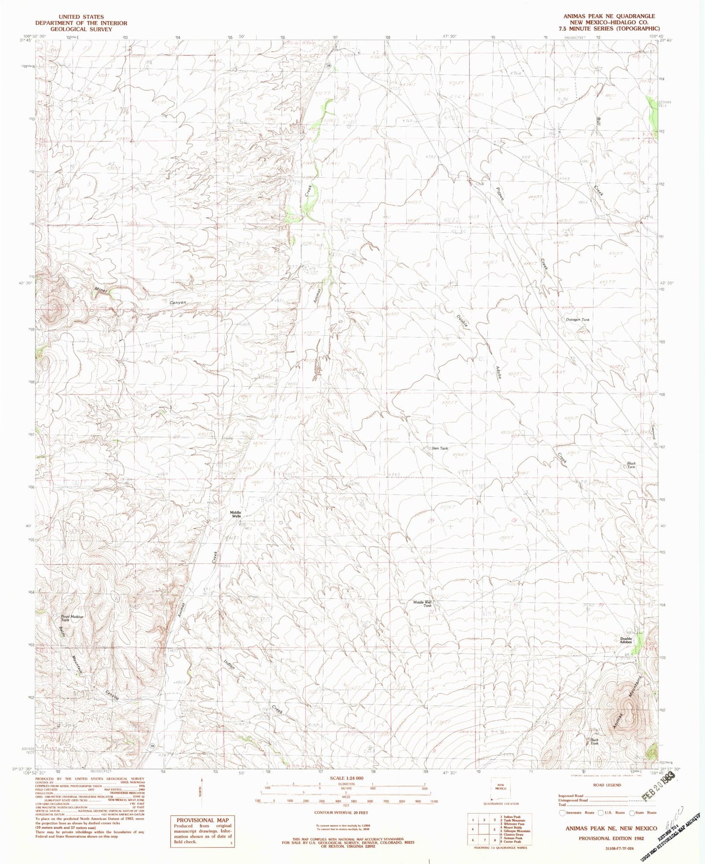
Historical USGS topographic quad map of Animas Peak NE in the state of New Mexico. Map scale may vary for some years, but is generally around 1:24,000. Print size is approximately 24" x 27"
This quadrangle is in the following counties: Hidalgo.
The map contains contour lines, roads, rivers, towns, and lakes. Printed on high-quality waterproof paper with UV fade-resistant inks, and shipped rolled.
Contains the following named places: Abe Yarbrough, Baldy Mountain Canyon, Bene Dunagan, Birchfield, Black tank, Boyd Maddox Tank, Buck Tank, Bull Creek, Deep Windmill, Double Adobe Creek, Double Adobe Creek Historic Site, Double Adobes, Dunagan Tank, Eakins, Joe Yarbrough, LA 54021, Maddox School, Middle Well Tank, Middle Wells, Miner Canyon, Rock Cabin, Spears, Sten Tank, Steve Dunagan, The Seep, Walter Dunagan, X T Ranch