MyTopo
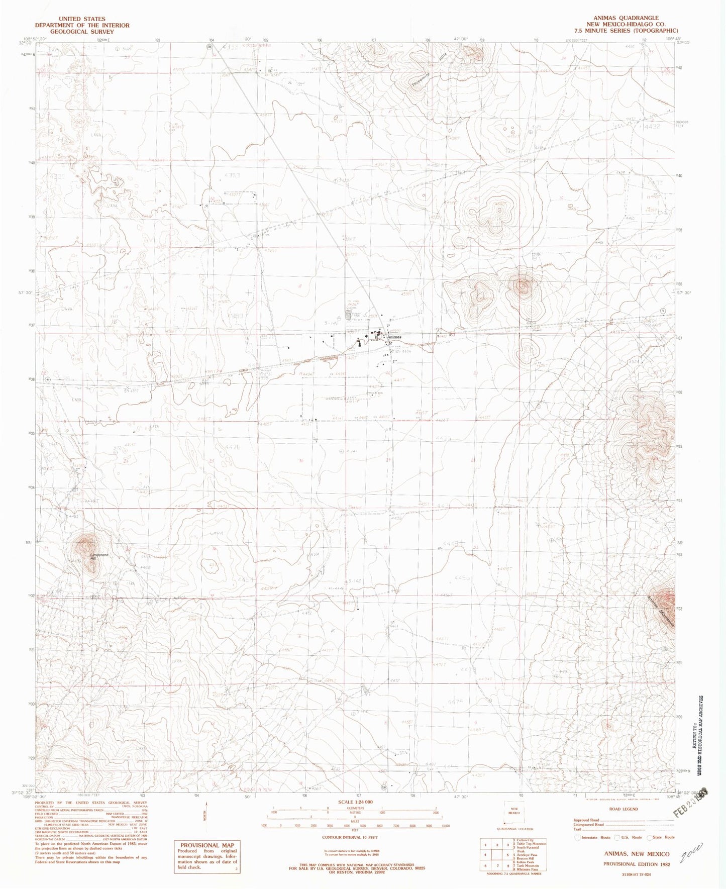
Classic USGS Animas New Mexico 7.5'x7.5' Topo Map
Couldn't load pickup availability
Historical USGS topographic quad map of Animas in the state of New Mexico. Map scale may vary for some years, but is generally around 1:24,000. Print size is approximately 24" x 27"
This quadrangle is in the following counties: Hidalgo.
The map contains contour lines, roads, rivers, towns, and lakes. Printed on high-quality waterproof paper with UV fade-resistant inks, and shipped rolled.
Contains the following named places: 10087 Water Well, 10135 Water Well, Animas, Animas Census Designated Place, Animas Emergency Medical Service, Animas High School, Animas Post Office, Animas River, Animas Volunteer Fire and Rescue Department, Animas Weather Station, Box Canyon Historic Site, Brushy Creek Historic Site, Clanton Draw Site-LA 4979, First Baptist Church, LA 54042, LA54049 Historic Site, LA54050 Historic Site, LA593 Historic Site, Limestone Hill, Little Historic Site, Lunch Box Historic Site, Maddox Ranch Historic Site, Metate Historic Site, Pigpen Creek Historic Site, Saddle Bronc Historic Site, Saint Joseph Catholic Church, Smugglers Trail Historical Marker, Sycamore Well Historic Site, Threemile Hills, Thurmond Airport, Timberlake Historic Site, X T Wells