MyTopo
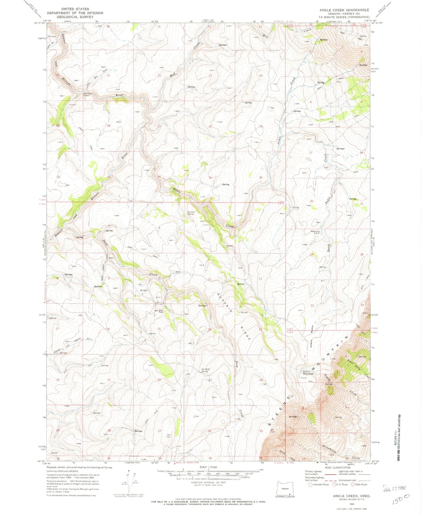
Classic USGS Ankle Creek Oregon 7.5'x7.5' Topo Map
Couldn't load pickup availability
Historical USGS topographic quad map of Ankle Creek in the state of Oregon. Typical map scale is 1:24,000, but may vary for certain years, if available. Print size: 24" x 27"
This quadrangle is in the following counties: Harney.
The map contains contour lines, roads, rivers, towns, and lakes. Printed on high-quality waterproof paper with UV fade-resistant inks, and shipped rolled.
Contains the following named places: Ankle Creek, Bill Taber Cabin, Deep Creek, Dry Mud Creek, Eusabio Ridge, Joe Huff Spring, Madarieta Cabin, Mud Creek, Newton Spring, Penland Meadow, Scott Corral Creek, South Ankle Creek, Willow Spring, Steens Mountain Wilderness, Public Waterhole, Riley Huff Place, Ysassio Creek, Starbuck Homestead