MyTopo
Classic USGS Ann Lake Minnesota 7.5'x7.5' Topo Map
Regular price
$16.95
Regular price
Sale price
$16.95
Unit price
per
Couldn't load pickup availability
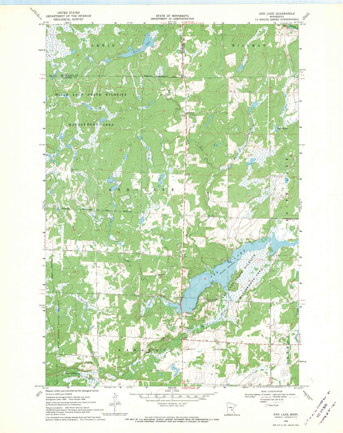
Historical USGS topographic quad map of Ann Lake in the state of Minnesota. Map scale may vary for some years, but is generally around 1:24,000. Print size is approximately 24" x 27"
This quadrangle is in the following counties: Kanabec, Mille Lacs.
The map contains contour lines, roads, rivers, towns, and lakes. Printed on high-quality waterproof paper with UV fade-resistant inks, and shipped rolled.
Contains the following named places: Ann Lake State Wildlife Management Area, Camp Creek, Dewitt Pool, Dewitt Pool Dam, Lake Seven, Little Ann River, Mackey Brook, Spring Brook, Township of Ann Lake