
MyTopo
Classic USGS Anna Maria Florida 7.5'x7.5' Topo Map
Couldn't load pickup availability
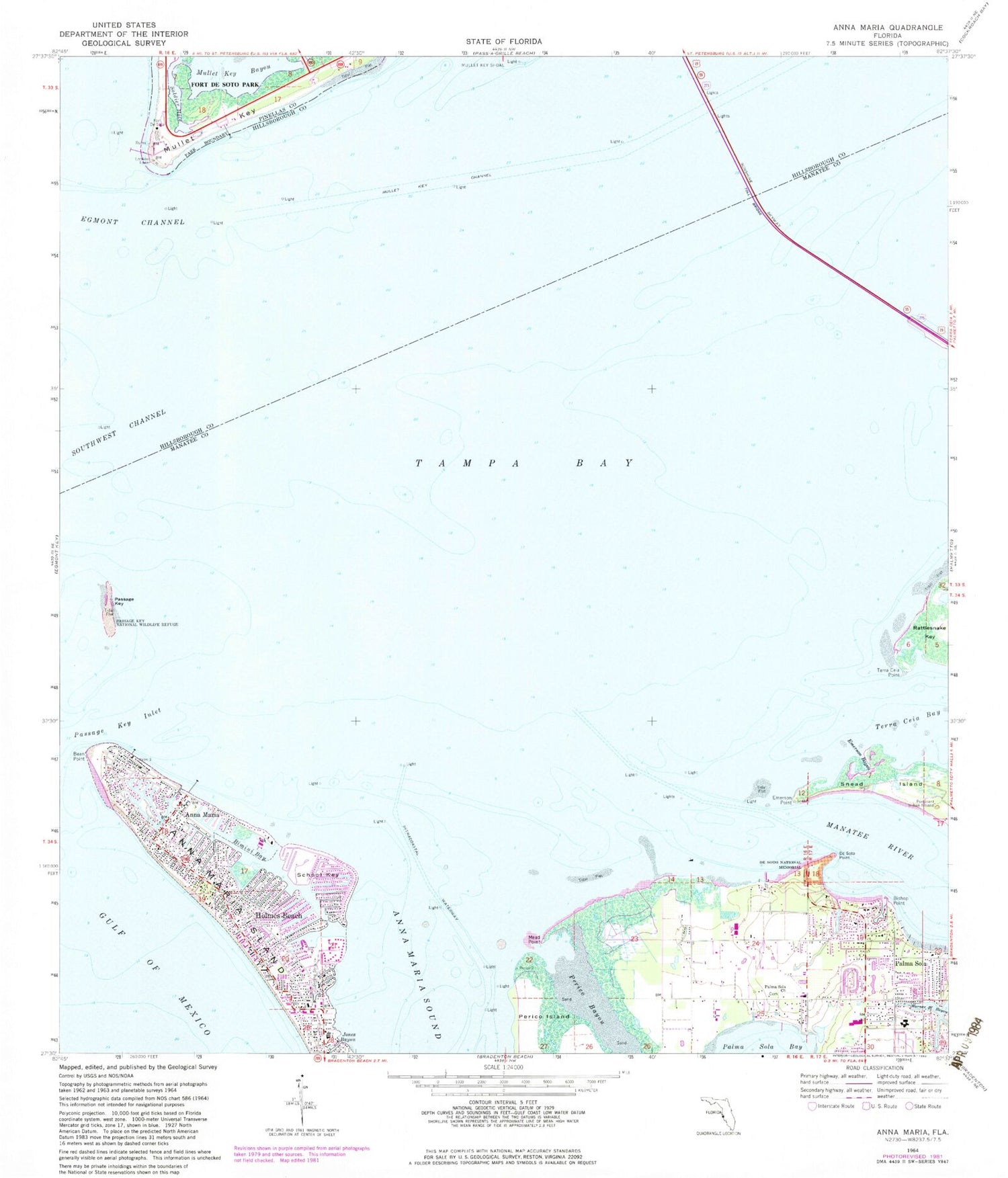
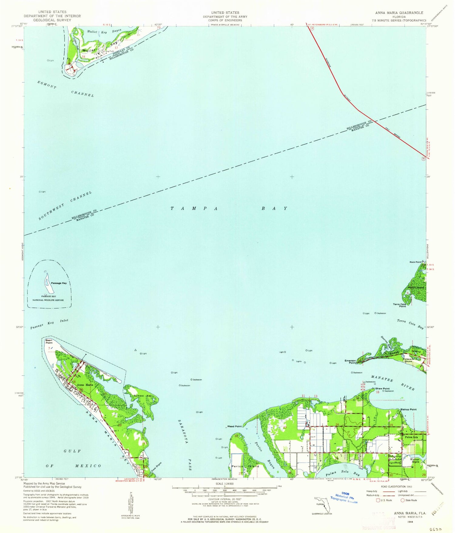
Historical USGS topographic quad map of Anna Maria in the state of Florida. Typical map scale is 1:24,000, but may vary for certain years, if available. Print size: 24" x 27"
This quadrangle is in the following counties: Hillsborough, Manatee, Pinellas.
The map contains contour lines, roads, rivers, towns, and lakes. Printed on high-quality waterproof paper with UV fade-resistant inks, and shipped rolled.
Contains the following named places: Anna Maria, Bimini Bay, Emerson Bayou, Fort De Soto Park, Jones Bayou, Manatee River, Mullet Key Channel, Mullet Key Shoal, Palma Sola, Palma Sola Church, Passage Key Inlet, Passage Key National Wildlife Refuge, Perico Bayou, Portavant Indian Mound, School Key, Soldier Hole, Terra Ceia Point, Anna Maria Island, Bean Point, Bishop Point, De Soto Point, Emerson Point, Mead Point, Mullet Key, Passage Key, De Soto National Memorial, Key ROyale Bar, The Bulkhead, Fort De Soto, De Soto Monument, De Soto Point, Muller Key Channel Fishing Pier Lights, King Middle School, Palma Sola Elementary School, Anna Maria Elementary School, Manatee County Beach, Battery Laidley (historical), Battery Bigelow (historical), West Manatee Fire and Rescue Station 3, Manatee County Sheriff's Office District 5 Anna Maria Unit, Holmes Beach Police Department, City of Anna Maria, City of Holmes Beach, West Manatee Fire and Rescue Department, Northwest Baptist Church, Holmes Beach Post Office (historical), Passage Key Wilderness, Anna Maria Post Office


