MyTopo
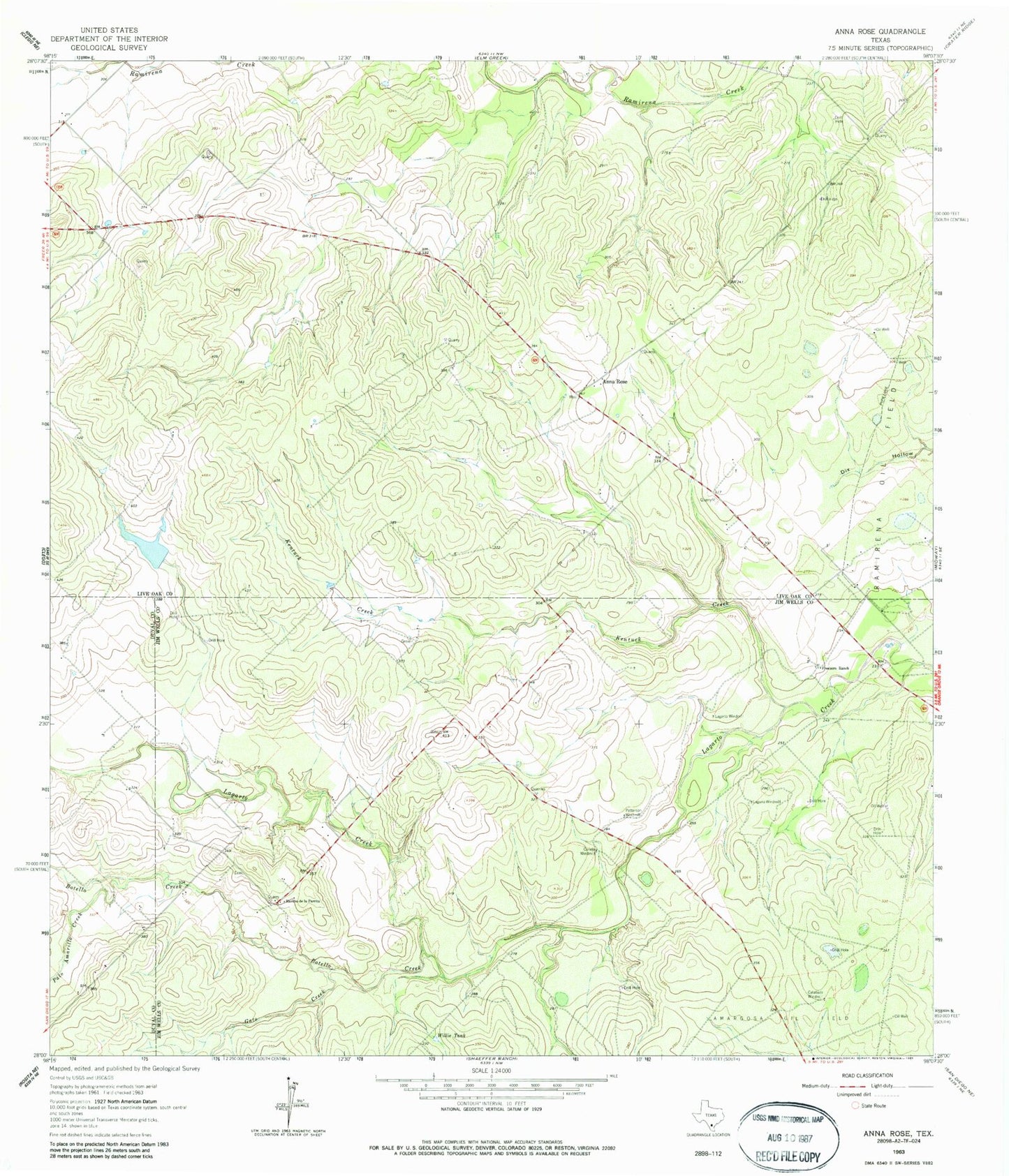
Classic USGS Anna Rose Texas 7.5'x7.5' Topo Map
Couldn't load pickup availability
Historical USGS topographic quad map of Anna Rose in the state of Texas. Map scale may vary for some years, but is generally around 1:24,000. Print size is approximately 24" x 27"
This quadrangle is in the following counties: Duval, Jim Wells, Live Oak.
The map contains contour lines, roads, rivers, towns, and lakes. Printed on high-quality waterproof paper with UV fade-resistant inks, and shipped rolled.
Contains the following named places: Anna Rose, Botello Creek, Calabaza Windmill, Conejo Windmill, Floyd Ranch Airport, Freeborn Ranch, Gato Creek, Kentuck Creek, La Parrita Valley Colonia, Lagarto Trib Dam, Lagarto Windmill, Laguna Windmill, Palo Amarillo Creek, Patterson Windmill, Ramirena Oil Field, Rancho de la Parita, Rancho de la Parrita, Salt Branch Ramirena Creek, Willie Tank