MyTopo
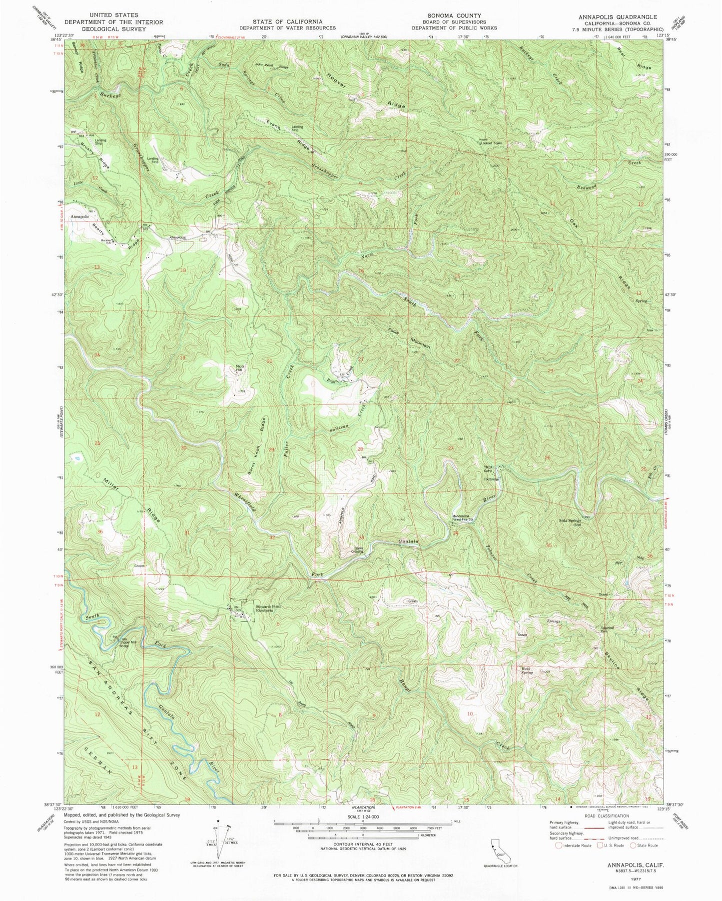
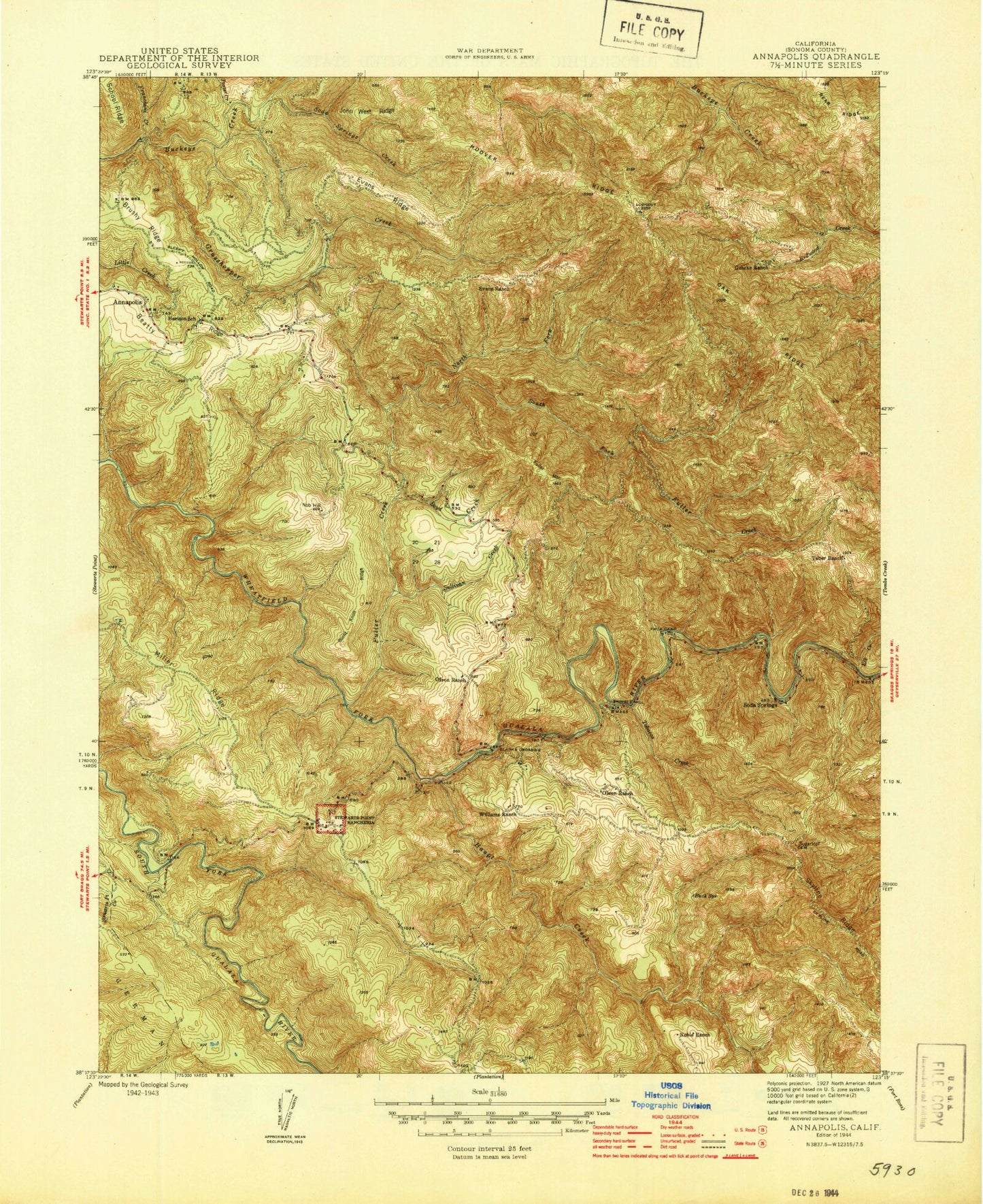
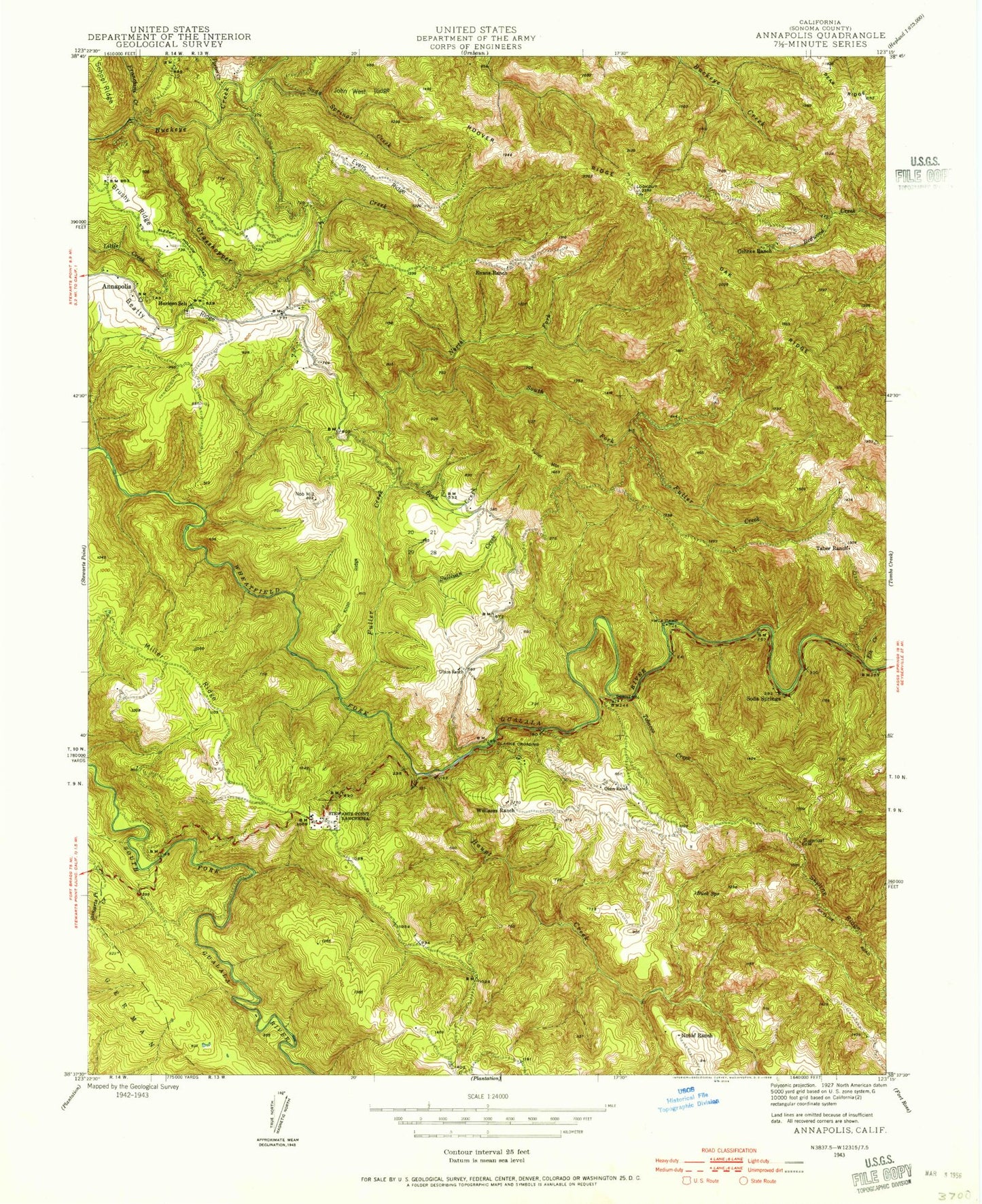
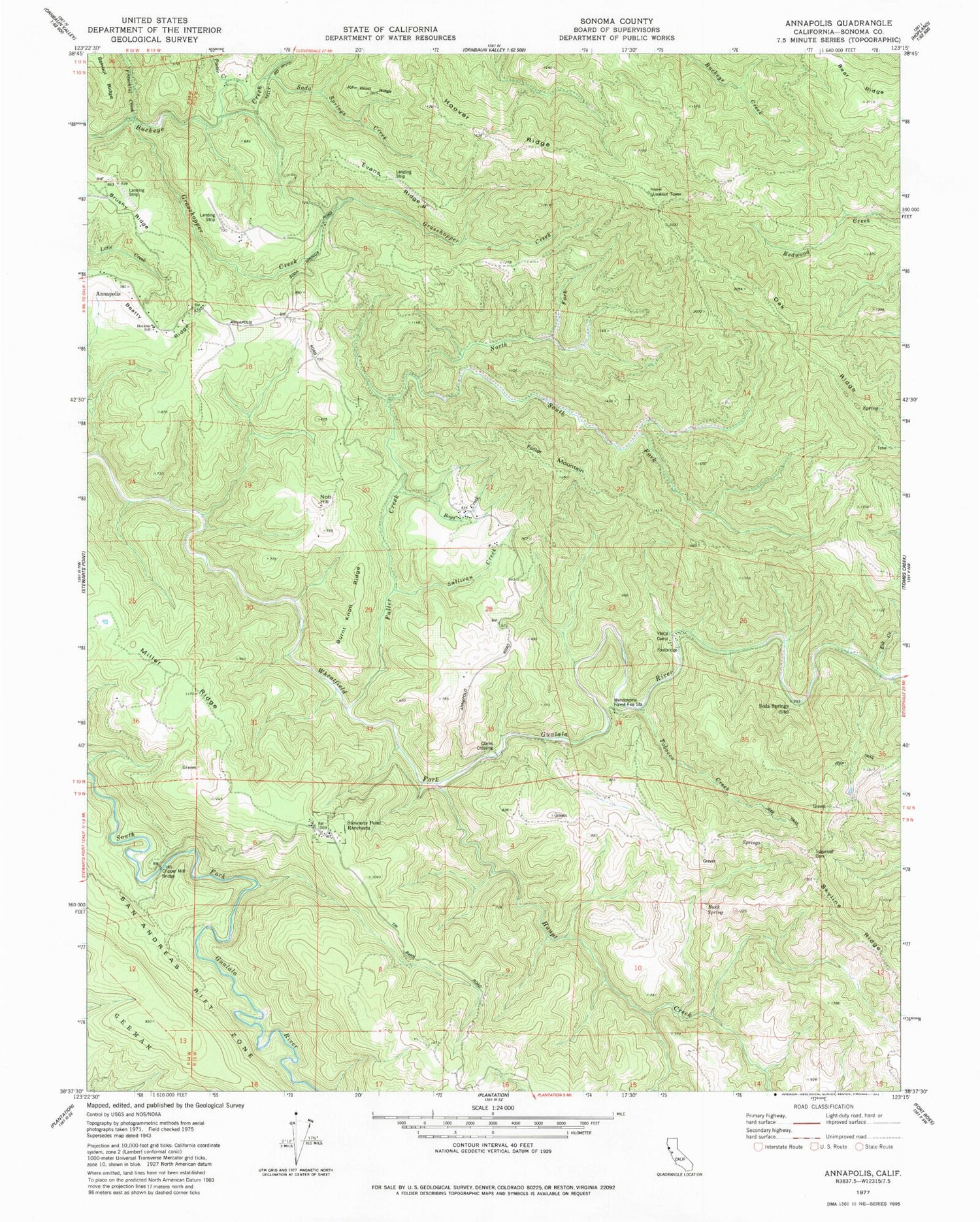
Classic USGS Annapolis California 7.5'x7.5' Topo Map
Couldn't load pickup availability
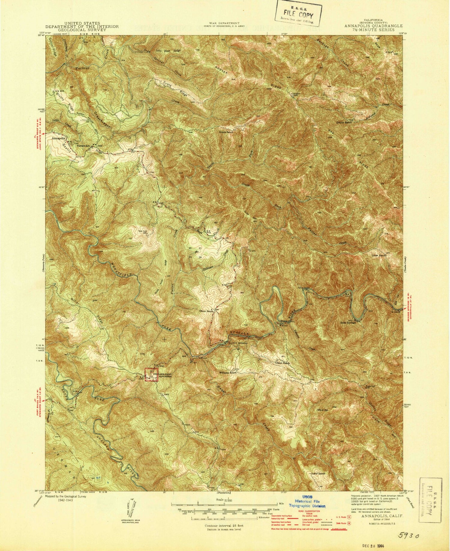
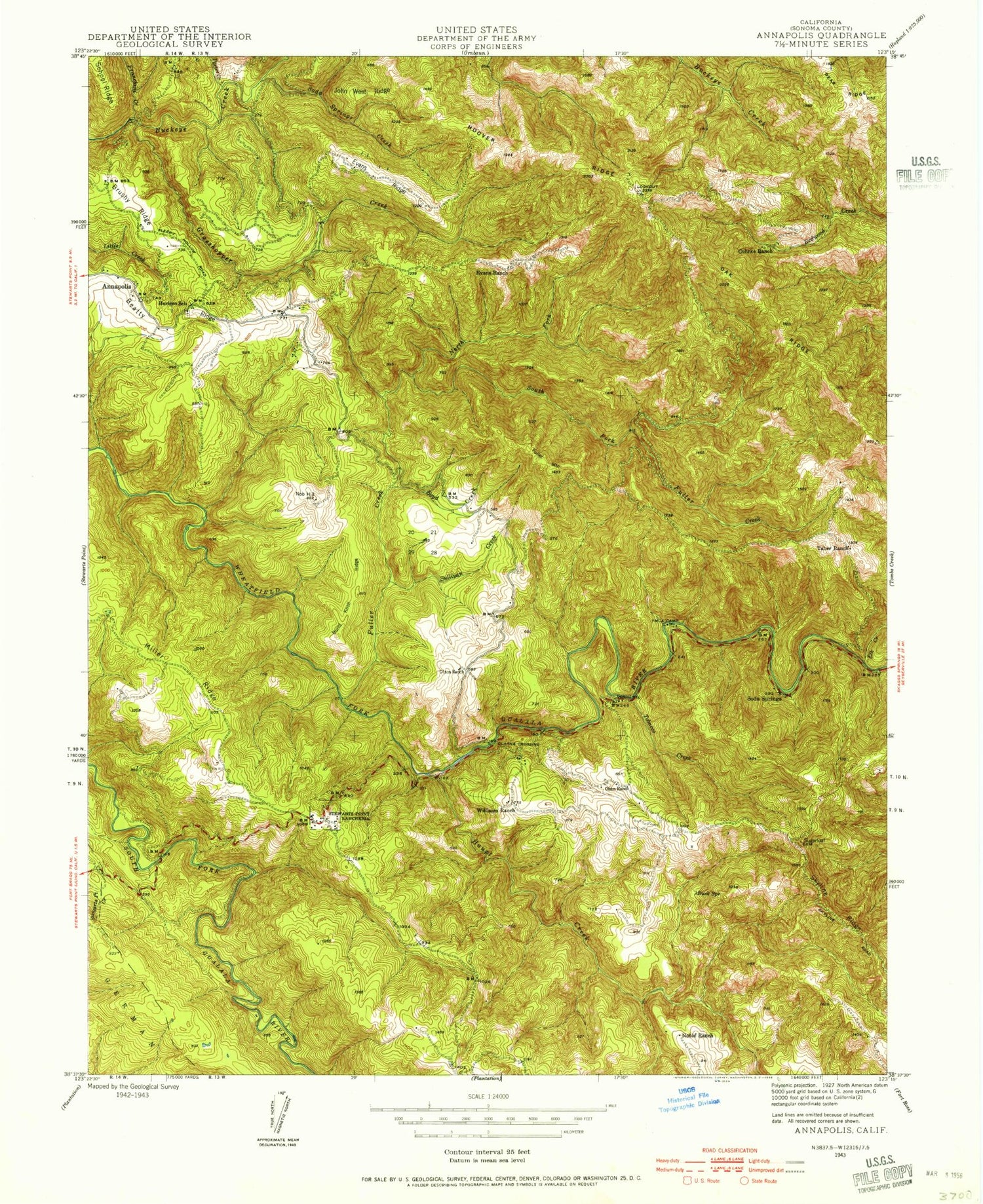
Historical USGS topographic quad map of Annapolis in the state of California. Map scale may vary for some years, but is generally around 1:24,000. Print size is approximately 24" x 27"
This quadrangle is in the following counties: Sonoma.
The map contains contour lines, roads, rivers, towns, and lakes. Printed on high-quality waterproof paper with UV fade-resistant inks, and shipped rolled.
Contains the following named places: Annapolis, Annapolis Church Cemetery, Bear Ridge, Boyd Creek, Buck Spring, Burnt Knoll Ridge, Clarks Crossing, Clipper Mill Bridge, Elk Creek, Evans Ranch, Evans Ridge, Franchini Creek, Fuller Creek, Fuller Mountain, Gehrke Ranch, Grasshopper Creek, Haupt Creek, Hoover Ridge, Horicon Elementary School, Horicon School, John West Ridge, Kashia Elementary School, Mendosoma Forest Fire Station, Miller Ridge, Nob Hill, Noble Ranch, North Fork Fuller Creek, Oak Ridge, Olson Ranch, Porter Creek, Redwood Creek, Richardson 2428 Dam, Shingle Mill, Soda Springs, Soda Springs Creek, South Fork Fuller Creek, Stewarts Point Rancheria, Sugarloaf Cemetery, Sullivan Creek, Taber Ranch, Tobacco Creek, Williams Ranch, ZIP Code: 95412
