MyTopo
Classic USGS Annaville Texas 7.5'x7.5' Topo Map
Couldn't load pickup availability
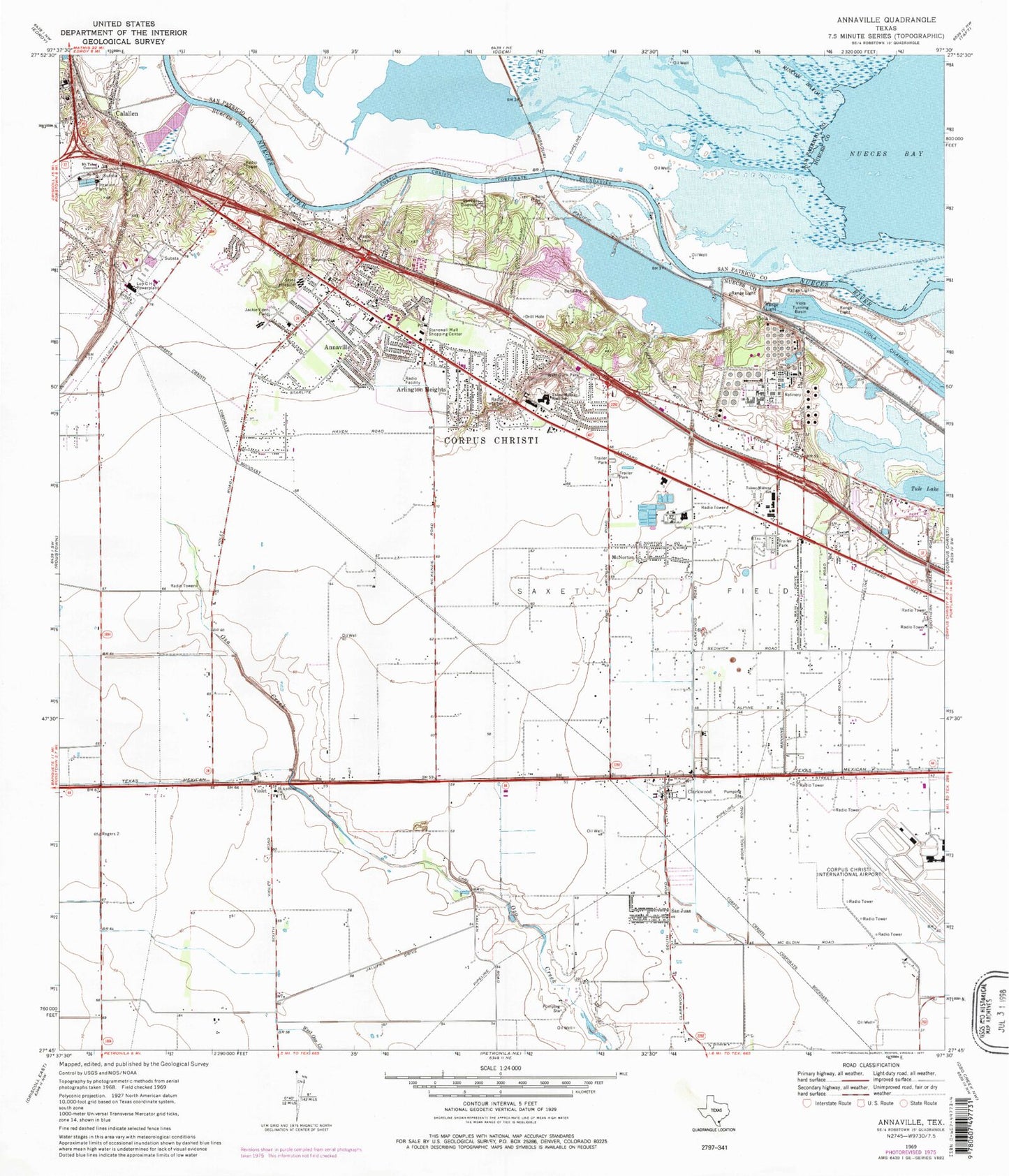
Historical USGS topographic quad map of Annaville in the state of Texas. Map scale may vary for some years, but is generally around 1:24,000. Print size is approximately 24" x 27"
This quadrangle is in the following counties: Nueces, San Patricio.
The map contains contour lines, roads, rivers, towns, and lakes. Printed on high-quality waterproof paper with UV fade-resistant inks, and shipped rolled.
Contains the following named places: Alter Education Center, Annaville, Annaville Elementary School, Annaville Fire Department, Annaville Seventh Day Adventist Church, Annaville Volunteer Fire Department Station 1, Annaville Volunteer Fire Department Station 2, Arlington Heights, Arlington Heights Christian School, Arlington Heights Community Church, Bear Stadium, Bring Your Bible Baptist Church, Calallen, Clarkwood, Coastal Bend Veterans Cemetery, Corpus Christi Fire Department Station 12, Corpus Christi International Airport, Country Estates Park, East Elementary School, Halo Flight, HPL Heliport, Hudson Park, Jackie Eden Field, Jackson Woods Park, Jackson Woods Presbyterian Church, KROB-FM (Robstown), Liberty Baptist Church, Lon C Hill Powerplant, McNorton, Mercury Emergency Medical Service, Mount Tabor Convent, Oil Belt Park, Old Saint Anthonys Catholic Church, Our Lady of the Rosary Church, Paterson Park, Primitive Baptist Church, Resurrection Lutheran Church, Saint Andrews Episcopal Church, Saint Anthony Church, Saint Marys Catholic Church, San Juan, Saxet Oil Field, Stonewall Mall Shopping Center, Stonewall Station Corpus Christi Post Office, Tule Lake, Tuloso - Midway High School, Tuloso - Midway Intermediate School, Tuloso - Midway Middle School, Tuloso - Midway Primary School, Tuloso-Midway School, Viola, Viola Channel, Viola Turning Basin, Violet, West Guth Park, Wind Rock Park, Zion Memorial Baptist Church, ZIP Codes: 78406, 78409, 78410


