MyTopo
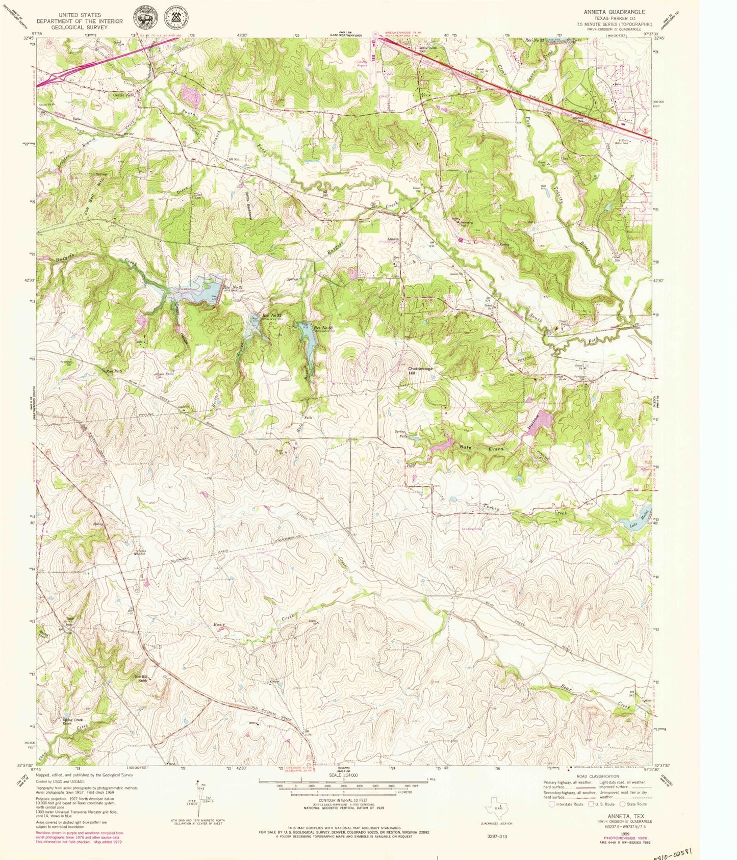
Classic USGS Annetta Texas 7.5'x7.5' Topo Map
Couldn't load pickup availability
Historical USGS topographic quad map of Annetta in the state of Texas. Typical map scale is 1:24,000, but may vary for certain years, if available. Print size: 24" x 27"
This quadrangle is in the following counties: Parker.
The map contains contour lines, roads, rivers, towns, and lakes. Printed on high-quality waterproof paper with UV fade-resistant inks, and shipped rolled.
Contains the following named places: Annetta, Burgess Creek, Cason Falls, Cason Hollow, Center Point, Chattanooga Hill, Devils Backbone, Dixon Branch, Dixon Cemetery, Hale Branch, Heiffel Branch, Hood Family Cemetery, Joe Bell Mountain, Little Creek, Lake Mullet, Nob Hill Ranch, O'Neal Cemetery, Reservoir Number Thirtyone, Reservoir Number Thirtytwo, Reservoir Number Thirtythree, Rock Falls, Rufe Evans Hollow, Spring Creek Ranch, Spring Falls, Squaw Creek, Tater Nob, Town Creek, Underwood Branch, Willow Creek, Willow Springs Cemetery, Brogden Branch, Earls, El Chico Water Tank, Clear Fork Ranch Heliport (historical), Parker County Airport, Trinity Meadows Race Track Heliport, Annetta North, Annetta South, Meeker Lake Dam, Meeker Lake, Soil Conservation Service Site 23 Dam, Soil Conservation Service Site 23 Reservoir, Soil Conservation Service Site 31 Dam, Soil Conservation Service Site 32 Dam, Soil Conservation Service Site 33 Dam, Soil Conservation Service Site 33 Reservoir, Lake Mullet Dam, Moncrief Lake Dam, Moncrief Lake, Rufe Evans Lake Dam, Rufe Evans Lake, Lake Moncrief Dam, Lake Moncrief, Weatherford Southeast Division, Bear Creek Springs, Aledo Middle School, Town of Annetta, Town of Annetta North, Town of Annetta South, Willow Park Fire Rescue Department Station 1, Weatherford Fire Department Station 3, Willow Park Police Department, Parker County Constable's Office Precinct 4, Willow Park City Hall, Annetta Cemetery


