
MyTopo
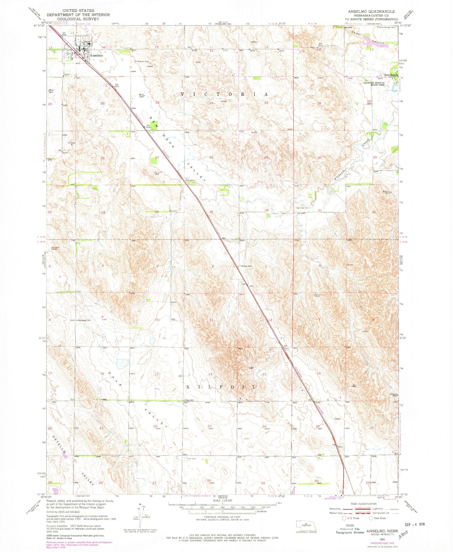
Classic USGS Anselmo Nebraska 7.5'x7.5' Topo Map
Couldn't load pickup availability
Historical USGS topographic quad map of Anselmo in the state of Nebraska. Map scale may vary for some years, but is generally around 1:24,000. Print size is approximately 24" x 27"
This quadrangle is in the following counties: Custer.
The map contains contour lines, roads, rivers, towns, and lakes. Printed on high-quality waterproof paper with UV fade-resistant inks, and shipped rolled.
Contains the following named places: Anselmo, Anselmo Post Office, Anselmo Volunteer Fire Department, Dale, Dale Post Office, Dale School, Karnes School, Keota Post Office, Keota School, Maroney School, New Helena, New Helena Post Office, New Helena School, New Hope Cemetery, New Hope Valley, Open Bible Standard Church, Saint Andrews Cemetery, Saint Anselms Catholic Church, Saint Anselms Cemetery, Sargent Dam, Sargent Reservoir, State of Nebraska, Victora Springs State Park, Village of Anselmo, ZIP Code: 68856


