MyTopo
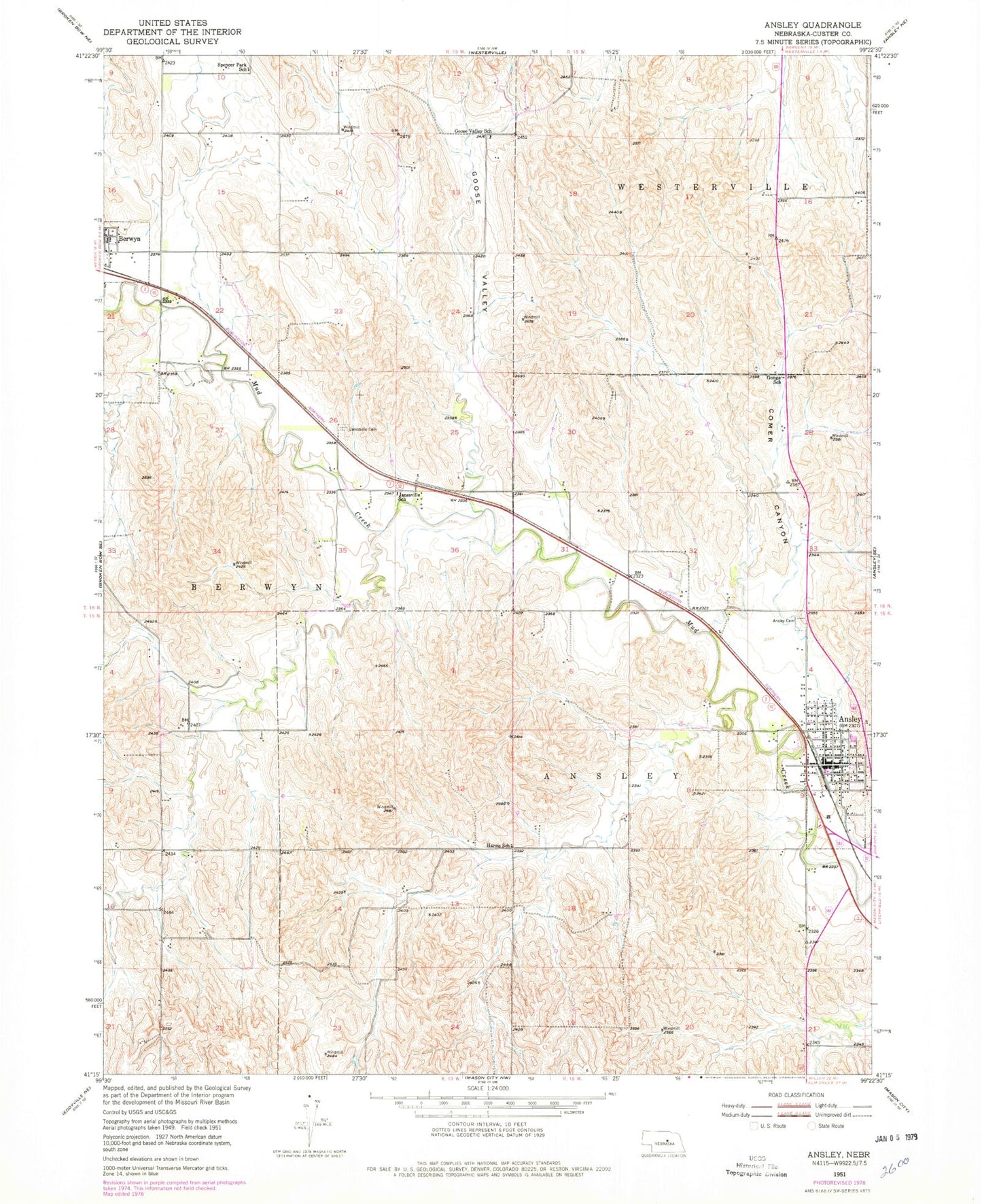
Classic USGS Ansley Nebraska 7.5'x7.5' Topo Map
Couldn't load pickup availability
Historical USGS topographic quad map of Ansley in the state of Nebraska. Map scale may vary for some years, but is generally around 1:24,000. Print size is approximately 24" x 27"
This quadrangle is in the following counties: Custer.
The map contains contour lines, roads, rivers, towns, and lakes. Printed on high-quality waterproof paper with UV fade-resistant inks, and shipped rolled.
Contains the following named places: Ansley, Ansley Cemetery, Ansley City Park, Ansley Clinic, Ansley Fire and Rescue, Ansley Historical Marker, Ansley Park Dam, Ansley Post Office, Ansley Public Schools, Ansley Reservoir, Baptist Church, Berwyn, Berwyn Post Office, Christian Church, First Baptist Church, Fundamental Baptist Church, Gonge School, Goose Valley, Goose Valley School, Harris School, Janesville Cemetery, Janesville School, Krause Private Airport, Sacred Heart Catholic Church, Spencer Park School, Township of Ansley, United Methodist Church, Village of Ansley, ZIP Code: 68814